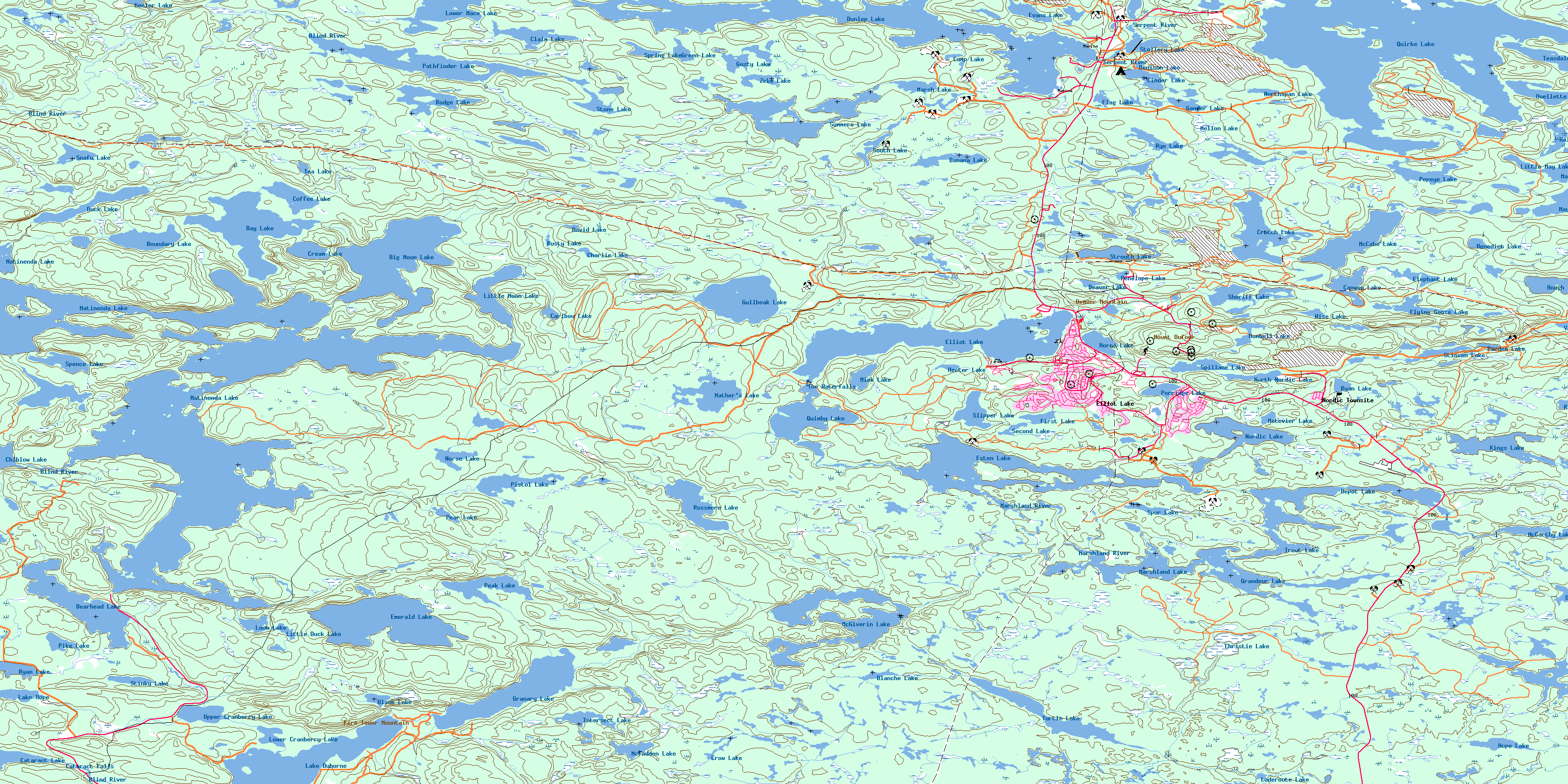
Elliot Lake Topo Map Online
Download Free Topo Map Sheet 041J07 at 1:50,000 scale
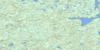
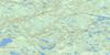
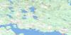
041J07 Elliot Lake Topo Map
To view this map, mouse over the map preview on the right.
You can also download this topo map for free:
041J07 Elliot Lake high-resolution topo map image.
Maps for the Elliot Lake topo map sheet 041J07 at 1:50,000 scale are also available in these versions:
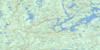
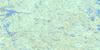
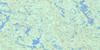
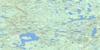
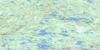
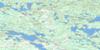
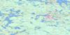
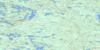
Elliot Lake Surrounding Area Topo Maps
 |
 |
 |
 |
 |
 |
 |
 |
 |
 |
 |
 |
 |
 |
 |
 |
© Department of Natural Resources Canada. All rights reserved.
Elliot Lake Gazetteer
The following places can be found on topographic map sheet 041J07 Elliot Lake:
Elliot Lake Topo Map: Bays
68 BayBaker Bay
Baker's Bay
Brundage Bay
Camp 7 Bay
Camp Bay
MacDonald's Bay
Merseth's Bay
Shamas Bay
South Bay
Teacher's Bay
Vezeau's Bay
Elliot Lake Topo Map: Beaches
The New BeachThe Old Beach
Elliot Lake Topo Map: Capes
Allen's PointBrown's Point
Conecho Point
Hamil's Point
Paradise Point
Sandy Point
Stover's Point
Thomas Point
Elliot Lake Topo Map: Channels
68 NarrowsButterfield Narrows
Graveyard Narrows
Elliot Lake Topo Map: City
Elliot LakeElliot Lake Topo Map: Falls
Cataract FallsThe Waterfalls
Elliot Lake Topo Map: Geographical areas
143144
149
150
155
156
161
162
167
168
Algoma
Beange
Bolger
Bouck
Buckles
Cobden
Esten
Gunterman
Jogues
Joubin
Juillette
Kamichisitit
Lewis
Long
Mack
McGiverin
Proctor
Scarfe
Spragge
Striker
Timmermans
Elliot Lake Topo Map: Islands
Blueberry IslandGraveyard Island
John Blue Island
Knowles Island
Lee Island
Lee's Island
Little Blueberry Island
Long Island
Matinenda Island
Monument Island
Roman Island
Swiss Island
Sylvah Island
Elliot Lake Topo Map: Lakes
Admiral LakeBanana Lake
Bawden Lakes
Bawden Lakes
Bay Lake
Bearhead Lake
Beaver Lake
Benedict Lake
Big Moon Lake
Black Lake
Blanche Lake
Boundary Lake
Camp Lake
Canyon Lake
Caribou Lake
Caroline Lake
Cataract Lake
Charlie Lake
Chiblow Lake
Christie Lake
Cinder Lake
Claim Lake
Coffee Lake
Coffee Lake
Commander Lake
Cream Lake
Crotch Lake
Crow Lake
David Lake
Denison Lake
Depot Lake
Duck Lake
Duck Lake
Dumbell Lake
Dunlop Lake
Dyelle Lake
Elephant Lake
Elliot Lake
Emerald Lake
Esten Lake
Evans Lake
First Lake
Flag Lake
Flying Goose Lake
Gander Lake
Granary Lake
Grandeur Lake
Green Lake
Gullbeak Lake
Gusty Lake
Halfmoon Lake
Hector Lake
Heron Lake
Hope Lake
Horne Lake
Hough Lake
Intersect Lake
Jowsey Lake
Keelor Lake
Kenmey Lake
Kings Lake
Laderoute Lake
Lake Duborne
Lake Hope
Lake of the Mountains
Link Lake
Little Duck Lake
Little May Lake
Little Moon Lake
Loon Lake
Lower Cranberry Lake
Lower Mace Lake
Magog Lake
Manfred Lake
Marsh Lake
Marshland Lake
Mather Lake
Mather's Lake
Matinenda Lake
May Lake
McCabe Lake
McCarthy Lake
McFadden Lake
McGiverin Lake
Mellon Lake
Metevier Lake
Mink Lake
Moon Lake
Nordic Lake
Norse Lake
North Nordic Lake
Northspan Lake
Ouellette Lake
Pardee Lake
Pathfinder Lake
Peak Lake
Pear Lake
Penelope Lake
Pike Lake
Pistol Lake
Popeye Lake
Poppy Lake
Porridge Lake
Quimby Lake
Quirke Lake
Rioux Lake
Rodge Lake
Rossmere Lake
Rusty Lake
Ryan Lake
Ryan Lake
Rye Lake
Second Lake
Sheriff Lake
Skull Lake
Slipper Lake
Slipper Lake
Snafu Lake
South Lake
Spence Lake
Spillane Lake
Spring Lake
Spur Lake
Stinky Lake
Stinson Lake
Stollery Lake
Stone Lake
Strouth Lake
Summers Lake
Tea Lake
Tea Lake
Teasdale Lake
Trout Lake
Turtle Lake
Upper Cranberry Lake
Vanhorn Lake
Westner Lake
Williams Lake
Wise Lake
Zeke Lake
Elliot Lake Topo Map: Mountains
Beaver MountainFire Tower Mountain
Mount Dufour
Elliot Lake Topo Map: Other municipal/district area - miscellaneous
The North ShoreElliot Lake Topo Map: Conservation areas
Glenn N. Crombie Conservation ReserveMatinenda Provincial Park
Elliot Lake Topo Map: Rivers
Bearhead CreekBearhead Creek
Black Creek
Black Creek
Blind River
Christie Creek
Cranberry Creek
Crooked Creek
Duck Creek
Granary Creek
Laderoute Creek
Magog Creek
Marcellus Creek
Marshland River
Marshland River
McCarthy Creek
Moon Creek
Pistol Creek
Rochester Creek
Serpent River
Sheriff Creek
Summers Creek
Elliot Lake Topo Map: Road features
Winter PortageElliot Lake Topo Map: Shoals
Bagi's RockFlat Rocks
Good Odds Shoal
Rooster Rock
The High Rocks
Elliot Lake Topo Map: Towns
Blind RiverElliot Lake Topo Map: Unincorporated areas
Nordic LakeNordic Townsite
© Department of Natural Resources Canada. All rights reserved.
041J Related Maps:
041J Blind River041J01 Spanish
041J02 Algoma
041J03 Dean Lake
041J04 St Joseph Island
041J05 Bruce Mines
041J06 Iron Bridge
041J07 Elliot Lake
041J08 Whiskey Lake
041J09 Madawanson Lake
041J10 Rawhide Lake
041J11 Wakomata Lake
041J12 Echo Lake
041J13 Ranger Lake
041J14 Rocky Island Lake
041J15 Kindiogami Lake
041J16 Mozhabong Lake
