Iron Bridge Topo Map Online
Download Free Topo Map Sheet 041J06 at 1:50,000 scale
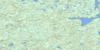
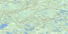
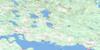
041J06 Iron Bridge Topo Map
To view this map, mouse over the map preview on the right.
You can also download this topo map for free:
041J06 Iron Bridge high-resolution topo map image.
Maps for the Iron Bridge topo map sheet 041J06 at 1:50,000 scale are also available in these versions:
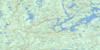
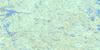
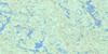
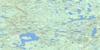
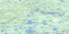
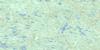
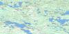
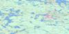
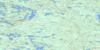
Iron Bridge Surrounding Area Topo Maps
 |
 |
 |
 |
 |
 |
 |
 |
 |
 |
 |
 |
 |
 |
 |
 |
© Department of Natural Resources Canada. All rights reserved.
Iron Bridge Gazetteer
The following places can be found on topographic map sheet 041J06 Iron Bridge:
Iron Bridge Topo Map: Bays
68 BayBoyles Bay
Crookes Bay
Fox's Bay
Phillips Bay
Whitman's Bay
Iron Bridge Topo Map: Beaches
Sunset BeachIron Bridge Topo Map: Capes
Fox PointWurtele Point
Iron Bridge Topo Map: Channels
North ChannelIron Bridge Topo Map: Falls
Bells FallsHigh Falls
Red Rock Falls
Slate Falls
Upper Slate Falls
White Falls
Whitefish Falls
Iron Bridge Topo Map: Geographical areas
167168
175
Algoma
Bridgland
Bright
Bright Additional
Cobden
Gladstone
Gould
Grasett
Haughton
Juillette
Kamichisitit
Kirkwood
Lefroy
Montgomery
Nouvel
Parkinson
Patton
Scarfe
Thessalon
Thompson
Wells
Iron Bridge Topo Map: Indian Reserves
Réserve indienne Thessalon 12Thessalon 12
Thessalon Indian Reserve 12
Iron Bridge Topo Map: Islands
Drury's IslandThe Big Island
Iron Bridge Topo Map: Lakes
Acre LakeAlma Lake
Appleby Lake
Axe Lake
Basswood Lake
Bay Lake
Beales Lake
Beecher Lake
Bernard Lake
Big Basswood Lake
Big Bear Lake
Birch Lake
Boyea Lake
Bridgland Lake
Bright Lake
Brock Lakes
Brownlee Lake
Burk Lake
Burrows Lake
Byrnes Lake
Canoe Lake
Caribou Lake
Caroline Lake
Casselman's Lake
Cataract Lake
Cherry Lake
Chiblow Lake
Clear Lake
Cleland Lake
Constance Lake
Copp Lake
Corbold Lake
Cranberry Lake
Crosby Lake
Cullis Lake
Cumming Lake
Cumming's Lake
Darrell Lake
Demorest Lake
Denman Lake
Eaket Lake
Echo Lake
Everett Lake
Falls Lake
Foot Lake
Franklin Lake
Gladstone Lake
Grasett Lake
Hagen Lake
Harvey Lake
High Lake
Holmes Lake
Horn Lake
Howard Lake
Jackpine Lake
Kirkwood Lake
Lake Demorest
Lake Hope
Lear Lake
Little Basswood Lake
Little Bear Lake
Little Birch Lake
Little Chiblow Lake
Little Pickerel Lake
Lomas Lake
Long Lake
Loon Lake
Mapleleaf Lake
Matinenda Lake
May Lake
Osborne Lake
Oscar Lake
Pakowkami Lake
Parkmont Lake
Peake Lake
Pegamasai Lake
Pepler Lake
Pipe Lake
Pitcher Lake
Plump Lake
Prospect Lake
Prospect Lake
Rainbow Lake
Ralph Lake
Reception Lake
Red Rock Lake
Rock Lake
Ryan Lake
Scarfe Lake
Shoal Lake
Smokey Lake
Sucker Lake
Swinn Lake
Tea Lake
Tunnel Lake
Wakwekobi Lake
Warnock Lake
Williamson Lake
Woodrow Lake
Iron Bridge Topo Map: Mountains
Maple RidgeTwin Mountains
Iron Bridge Topo Map: Other municipal/district area - miscellaneous
Day and Bright AdditionalGladstone
Huron Shores
Macdonald, Meredith and Aberdeen Additional
Thessalon
Thompson
Iron Bridge Topo Map: Conservation areas
Basswood Lake Conservation ReserveBasswood Lake Hemlock Conservation Reserve
Byrnes Lake White Birch Conservation Reserve
Iron Bridge Topo Map: Rapids
Shino RapidsSlate Rapids
Upper Slate Rapids
Iron Bridge Topo Map: Rivers
Alma CreekBeaver Creek
Blind River
Bolton River
Bolton River
Bridgland River
Casselman's Creek
Cleland Creek
Edison's Creek
Harris Creek
Kynoch Creek
Little Thessalon River
Little White River
Livingstone Creek
Mississagi River
Pickerel Creek
Potomac River
Iron Bridge Topo Map: Towns
Blind RiverIron Bridge Topo Map: Unincorporated areas
BellinghamDay Mills
Dayton
Goldenburgh
Hagans Hill
Iron Bridge
Kynoch
Livingstone
Livingstone Creek
Nesterville
Parkinson
Patton
Skibo
Sowerby
Wharncliffe
Iron Bridge Topo Map: Low vegetation
Hagen's Swamp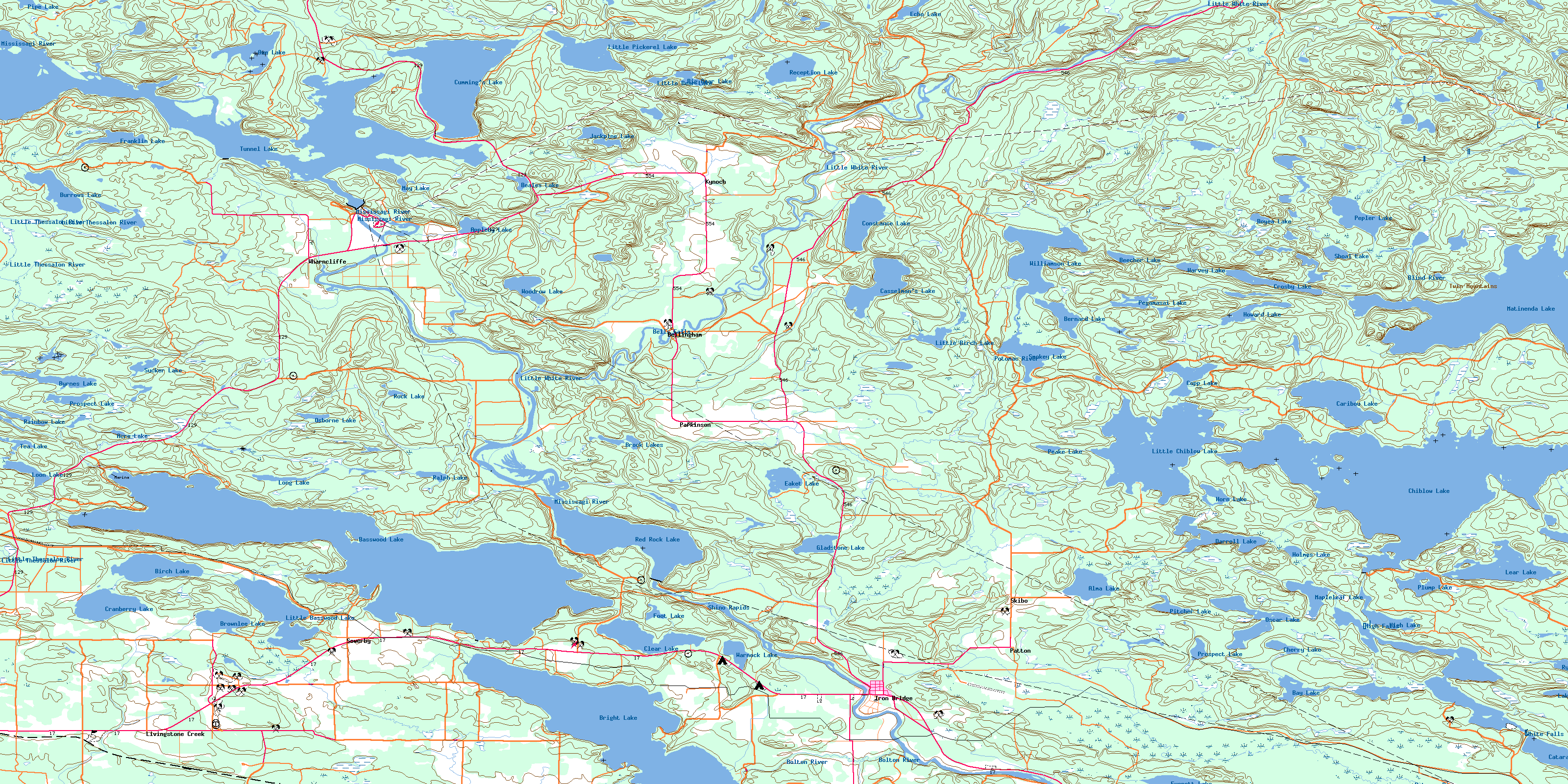
© Department of Natural Resources Canada. All rights reserved.
041J Related Maps:
041J Blind River041J01 Spanish
041J02 Algoma
041J03 Dean Lake
041J04 St Joseph Island
041J05 Bruce Mines
041J06 Iron Bridge
041J07 Elliot Lake
041J08 Whiskey Lake
041J09 Madawanson Lake
041J10 Rawhide Lake
041J11 Wakomata Lake
041J12 Echo Lake
041J13 Ranger Lake
041J14 Rocky Island Lake
041J15 Kindiogami Lake
041J16 Mozhabong Lake
