Gowganda Topo Map Online
Download Free Topo Map Sheet 041P10 at 1:50,000 scale
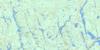
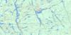
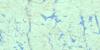
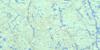
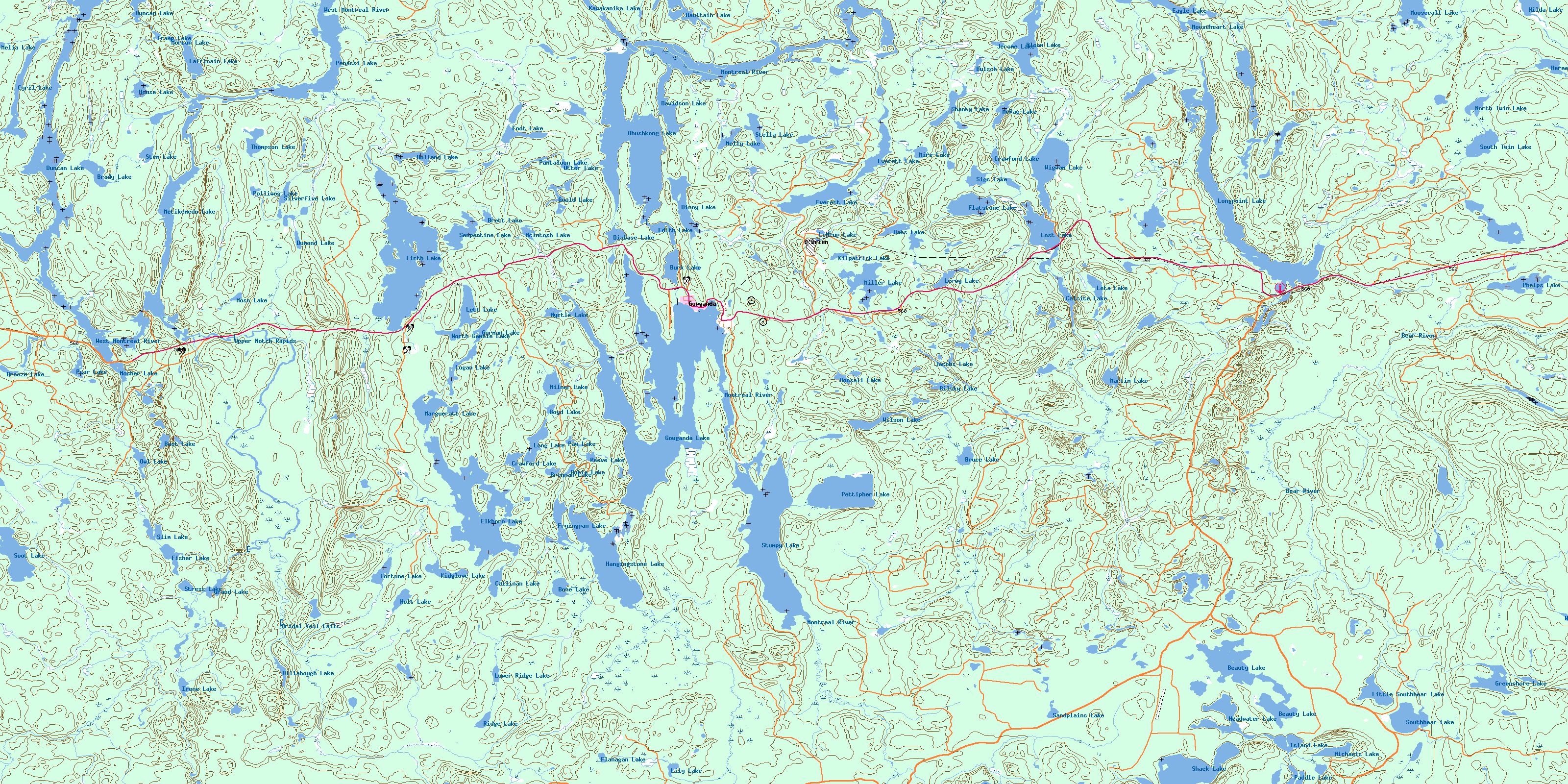
041P10 Gowganda Topo Map
To view this map, mouse over the map preview on the right.
You can also download this topo map for free:
041P10 Gowganda high-resolution topo map image.
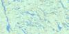
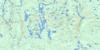
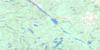
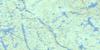
Maps for the Gowganda topo map sheet 041P10 at 1:50,000 scale are also available in these versions:
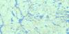
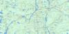
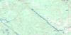
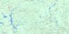
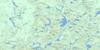
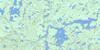
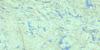
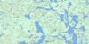
Gowganda Surrounding Area Topo Maps
 |
 |
 |
 |
 |
 |
 |
 |
 |
 |
 |
 |
 |
 |
 |
 |
© Department of Natural Resources Canada. All rights reserved.
Gowganda Gazetteer
The following places can be found on topographic map sheet 041P10 Gowganda:
Gowganda Topo Map: Bays
Banker BayBeaton Bay
Glosser Bay
Gordon Bay
Great South Bay
Inlet Bay
Islet Bay
Miles Bay
Milner Bay
North Arm
Outlet Bay
South Bay
Gowganda Topo Map: Capes
Julian PointOutlook Point
Rorke Point
Gowganda Topo Map: Falls
Bridal Veil FallsGowganda Topo Map: Geographical areas
ChartersChown
Corkill
Haultain
Knight
Lawson
Leith
Leonard
Mickle
Milner
Nicol
Roadhouse
Timiskaming
Tyrrell
Van Hise
Wallis
Gowganda Topo Map: Hydraulic construction
Upper Notch DamGowganda Topo Map: Islands
Arkose IslandHawk Island
Gowganda Topo Map: Lakes
Babs LakeBeauty Lake
Bilsky Lake
Bloom Lake
Bone Lake
Bonsall Lake
Boot Lake
Boyd Lake
Brady Lake
Breeze Lake
Brennan Lake
Brett Lake
Bruce Lake
Bulsch Lake
Burk Lake
Calcite Lake
Callinan Lake
Crawford Lake
Crawford Lake
Cyril Lake
Davidson Lake
Diabase Lake
Dillabough Lake
Dinny Lake
Dobie Lake
Dumond Lake
Duncan Lake
Durkee Lake
Eagle Lake
Edith Lake
Elkhorn Lake
Everett Lake
Firth Lake
Fisher Lake
Flanagan Lake
Flatstone Lake
Foot Lake
Fortune Lake
Fryingpan Lake
Gordon Lake
Gorman Lake
Gould Lake
Gowganda Lake
Grand Lake
Greenshore Lake
Hangingstone Lake
Haultain Lake
Headwater Lake
Hermence Lake
Hilda Lake
Holland Lake
Holt Lake
House Lake
Indian Lake
Irene Lake
Isabel Lake
Island Lake
Jacobs Lake
Jerome Lake
Kawakanika Lake
Kidglove Lake
Kilpatrick Lake
Lafricain Lake
LeHeup Lake
Leroy Lake
Leta Lake
Lett Lake
Lily Lake
Little Southbear Lake
Logan Lake
Long Lake
Longpoint Lake
Lost Lake
Lower Ridge Lake
Margueratt Lake
Martin Lake
McIntosh Lake
McRae Lake
Melia Lake
Metikemedo Lake
Michaels Lake
Miller Lake
Milner Lake
Mire Lake
Molly Lake
Moosecall Lake
Mooseheart Lake
Morton Lake
Mosher Lake
Moss Lake
Myrtle Lake
North Gamble Lake
North Twin Lake
Obushkong Lake
Otter Lake
Owl Lake
Paddle Lake
Pantaloon Lake
Paw Lake
Pear Lake
Penassi Lake
Pettipher Lake
Phelps Lake
Polliwog Lake
Reeve Lake
Ridge Lake
Sandplains Lake
Serpentine Lake
Shack Lake
Shanty Lake
Sigs Lake
Silverfive Lake
Slim Lake
Soot Lake
South Twin Lake
Southbear Lake
Stella Lake
Stem Lake
Stress Lake
Stumpy Lake
Thompson Lake
Tramp Lake
Wallis Lake
Wigwam Lake
Wilson Lake
Gowganda Topo Map: Conservation areas
Wapus Creek Conservation ReserveWest Montreal River Provincial Park
Gowganda Topo Map: Rapids
Upper Notch RapidsGowganda Topo Map: Rivers
Bear RiverBreeze Creek
Burgess Creek
Calcite Creek
Coldspring Creek
Diabase Creek
East Wapus Creek
Elkhorn Creek
Firth Creek
Flanagan Creek
Foot Creek
Haines Creek
Hilda Creek
Lawson Creek
McIntosh Creek
Mickle Creek
Miller Creek
Montreal River
North Lady Evelyn River
Shack Creek
Silverfive Creek
Spider Creek
Sydney Creek
Thomson Creek
Wallis Creek
Wapus Creek
West Montreal River
West Wapus Creek
Wilson Creek
Gowganda Topo Map: Unincorporated areas
GowgandaO'Brien
© Department of Natural Resources Canada. All rights reserved.
041P Related Maps:
041P Gogama041P01 Obabika Lake
041P02 Pilgrim Creek
041P03 Thor Lake
041P04 Low Water Lake
041P05 Westree
041P06 Opikinimika Lake
041P07 Smoothwater Lake
041P08 Lady Evelyn Lake
041P09 Elk Lake
041P10 Gowganda
041P11 Shining Tree
041P12 Gogama
041P13 Mattagami Lake
041P14 Sinclair Lake
041P15 Matachewan
041P16 Charlton
