Gogama Topo Map Online
Download Free Topo Map Sheet 041P12 at 1:50,000 scale
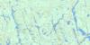
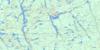
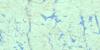
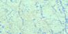
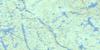
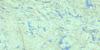
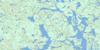
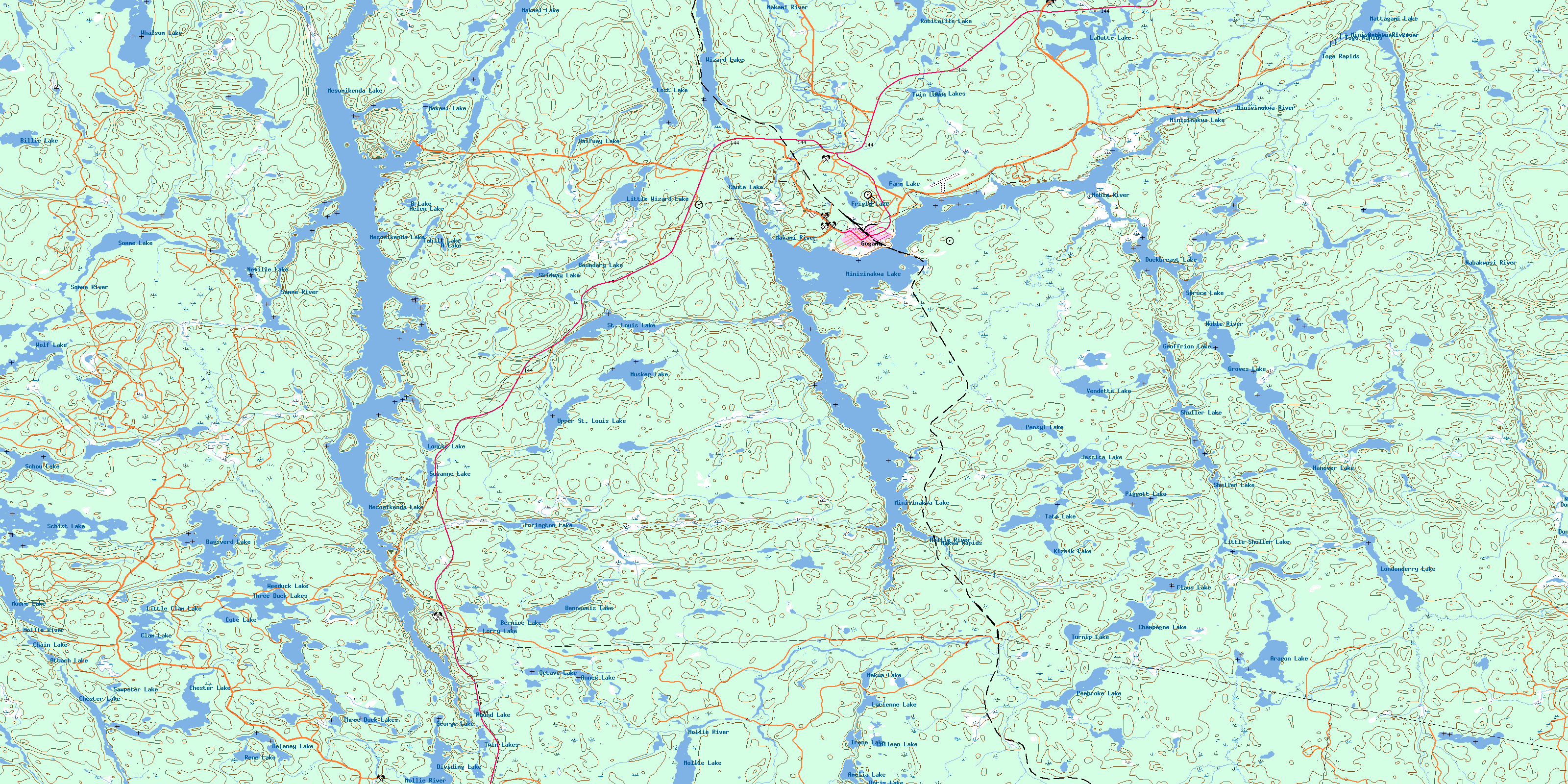
041P12 Gogama Topo Map
To view this map, mouse over the map preview on the right.
You can also download this topo map for free:
041P12 Gogama high-resolution topo map image.
Maps for the Gogama topo map sheet 041P12 at 1:50,000 scale are also available in these versions:
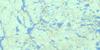
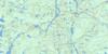
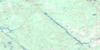
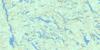
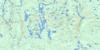
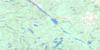
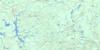
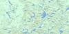
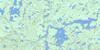
Gogama Surrounding Area Topo Maps
 |
 |
 |
 |
 |
 |
 |
 |
 |
 |
 |
 |
 |
 |
 |
 |
© Department of Natural Resources Canada. All rights reserved.
Gogama Gazetteer
The following places can be found on topographic map sheet 041P12 Gogama:
Gogama Topo Map: Bays
Benneweis BayCochrane's Bay
East Arm
Moose Bay
Sandy Portage Bay
South Arm
Southcamp Bay
West Arm
Gogama Topo Map: Capes
Goulais PointPoplar Point
Gogama Topo Map: Channels
The NotchGogama Topo Map: Geographical areas
BenneweisBrunswick
Champagne
Chester
Frater
Groves
Jack
Londonderry
Neville
Noble
Potier
Somme
St. Louis
Togo
Yeo
Gogama Topo Map: Islands
Gervais IslandPayette's Island
Rock Island
Gogama Topo Map: Lakes
A LakeAmelia Lake
Annex Lake
Aragon Lake
Attach Lake
B Lake
Bagsverd Lake
Beaver Lake
Benneweis Lake
Bernice Lake
Billie Lake
Boundary Lake
Chain Lake
Champagne Lake
Chester Lake
Chute Lake
Clam Lake
Claus Lake
Colleen Lake
Côté Lake
Delaney Lake
Dividing Lake
Doris Lake
Duckbreast Lake
Errington Lake
Farm Lake
Frigid Lake
Geoffrion Lake
George Lake
Groves Lake
Halfway Lake
Hanover Lake
Helen Lake
Irene Lake
Jessica Lake
Kihzik Lake
Kizhik Lake
LaMotte Lake
Little Clam Lake
Little Shuller Lake
Little Wizard Lake
Londonderry Lake
Lorry Lake
Lost Lake
Loucks Lake
Lucienne Lake
Makami Lake
Makwa Lake
Mattagami Lake
Mesomikenda Lake
Minisinakwa Lake
Mollie Lake
Moore Lake
Muskeg Lake
Neville Lake
Octave Lake
Pembroke Lake
Pensyl Lake
Piggott Lake
Rene Lake
Robitaille Lake
Robitaille Lake
Round Lake
Sawpeter Lake
Schist Lake
Schou Lake
Shuller Lake
Skidway Lake
Somme Lake
Spruce Lake
St. Louis Lake
Susanne Lake
Tahill Lake
Tate Lake
Three Duck Lakes
Turnip Lake
Twin Lakes
Twin Lakes
Upper St. Louis Lake
Vendette Lake
Weeduck Lake
Whalsom Lake
Wizard Lake
Wolf Lake
Gogama Topo Map: Conservation areas
La Motte Lake Provincial ParkGogama Topo Map: Rapids
Makwa RapidsTogo Rapids
Gogama Topo Map: Rivers
Aragon CreekBagsverd Creek
Beaver Creek
Benneweis Creek
Bernice Creek
Clam Creek
Donnegana River
Errington Creek
Hanover Creek
Kenetogami Creek
LaMotte Creek
Lawson's Creek
Little Mollie Creek
Makami River
Makwa Creek
Minisinakwa River
Mollie River
Nabakwasi River
Noble River
Pembroke Creek
Pensyl Creek
Piggott Creek
Shuller Creek
Somme River
St. Louis Creek
Whalsom Creek
Wizard Creek
Gogama Topo Map: Unincorporated areas
GogamaMakwa
© Department of Natural Resources Canada. All rights reserved.
041P Related Maps:
041P Gogama041P01 Obabika Lake
041P02 Pilgrim Creek
041P03 Thor Lake
041P04 Low Water Lake
041P05 Westree
041P06 Opikinimika Lake
041P07 Smoothwater Lake
041P08 Lady Evelyn Lake
041P09 Elk Lake
041P10 Gowganda
041P11 Shining Tree
041P12 Gogama
041P13 Mattagami Lake
041P14 Sinclair Lake
041P15 Matachewan
041P16 Charlton
