Ahmabel Lake Topo Map Online
Download Free Topo Map Sheet 042F10 at 1:50,000 scale
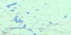
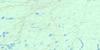
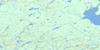
042F10 Ahmabel Lake Topo Map
To view this map, mouse over the map preview on the right.
You can also download this topo map for free:
042F10 Ahmabel Lake high-resolution topo map image.
Maps for the Ahmabel Lake topo map sheet 042F10 at 1:50,000 scale are also available in these versions:
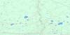
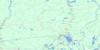
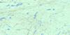
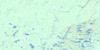
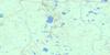
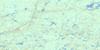
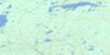
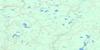
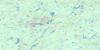
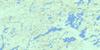
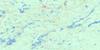
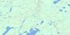
Ahmabel Lake Surrounding Area Topo Maps
 |
 |
 |
 |
 |
 |
 |
 |
 |
 |
 |
 |
 |
 |
 |
 |
© Department of Natural Resources Canada. All rights reserved.
Ahmabel Lake Gazetteer
The following places can be found on topographic map sheet 042F10 Ahmabel Lake:
Ahmabel Lake Topo Map: Geographical areas
ArnottCochrane
Cross
Frost
Hiawatha
Kohler
McCoig
McEwing
McMillan
Mercer
Ahmabel Lake Topo Map: Lakes
Ahmabel LakeAnderson Lake
Angela Lake
Angus Lake
Anita Lake
Arnott Lake
Audrey Lake
Big Skunk Lake
Boice Lake
Buck Lake
Budd Lake
Bun Lake
Cantin Lake
Claire Lake
Clavelle Lake
Corine Lake
Crow Lake
Daniel Lake
David Lake
Dodds Lake
Douglas Lake
Eagle Lake
East Ahmabel Lake
Elmer Lake
Emond Lake
Eric Lake
Evelyn Lake
Fisher Lake
Flett Lake
Fournier Lake
Fraser Lake
Freddie Lake
Friday Lake
Frost Lake
Gagnon Lake
Goldie Lake
Hook Lake
Humberstone Lake
Insect Lake
Jaw Lake
Jig Lake
Johnston Lake
Konk Lake
Lapworth Lake
Leaf Lake
Lewis Lake
Little Skunk Lake
Lizo Lake
Lloyd Lake
Lorraine Lake
Martin Lake
Mask Lake
McEwing Lake
Melody Lake
Mercer Lake
Millie Lake
Mink Lake
Mole Lake
Murphy Lake
Myrtle Lake
Paddle Lake
Paddy Lake
Perrin Lake
Pointing Lake
Redpine Lake
Roger Lake
Saw Lake
Scuckasu Lake
Shalla Lake
Shapeless Lake
Shrew Lake
Sider Lake
Skipper Lake
Slim Lake
Souter Lake
Starling Lake
Susie Lake
Taylor Lake
Toad Lake
Trodd Lake
Turnip Lake
Young Lake
Ahmabel Lake Topo Map: Rapids
Dirty Bush RapidsGull Rock Rapids
Jackpine Rapids
Rough Rock Rapids
Trout Rapids
White Owl Rapids
Ahmabel Lake Topo Map: Rivers
Bad RiverBun Creek
Fraser River
Frost Creek
Little Fraser River
Little Pitopiko River
Little Skunk River
McEwing Creek
Mercer Creek
Millie Creek
Nagagami River
Pitopiko River
Scuckasu Creek
Skunk River
Ahmabel Lake Topo Map: Road features
Dirty Bush PortageGull Rock Portage
Jackpine Portage
Rough Rock Portage
Trout Portage
Ahmabel Lake Topo Map: Valleys
The Canyon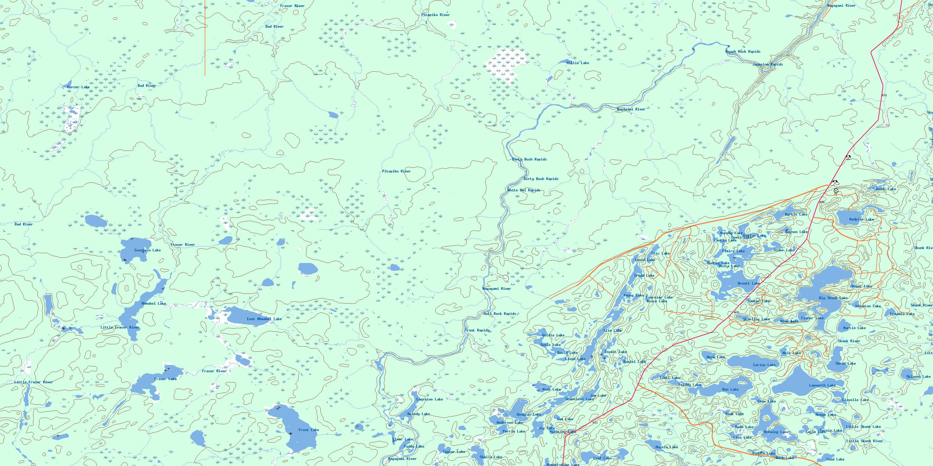
© Department of Natural Resources Canada. All rights reserved.
042F Related Maps:
042F Hornepayne042F01 Oba
042F02 Hornepayne
042F03 Obakamiga Lake
042F04 Manitouwadge
042F05 White Otter River
042F06 Nagagami Lake
042F07 Nagagamisis Lake
042F08 Pope Creek
042F09 Nassau Lake
042F10 Ahmabel Lake
042F11 Osawin River
042F12 Kassagimini Lake
042F13 Flint Lake
042F14 Eureka Lake
042F15 Pitopiko River
042F16 Constance Lake
