Flint Lake Topo Map Online
Download Free Topo Map Sheet 042F13 at 1:50,000 scale
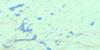
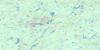
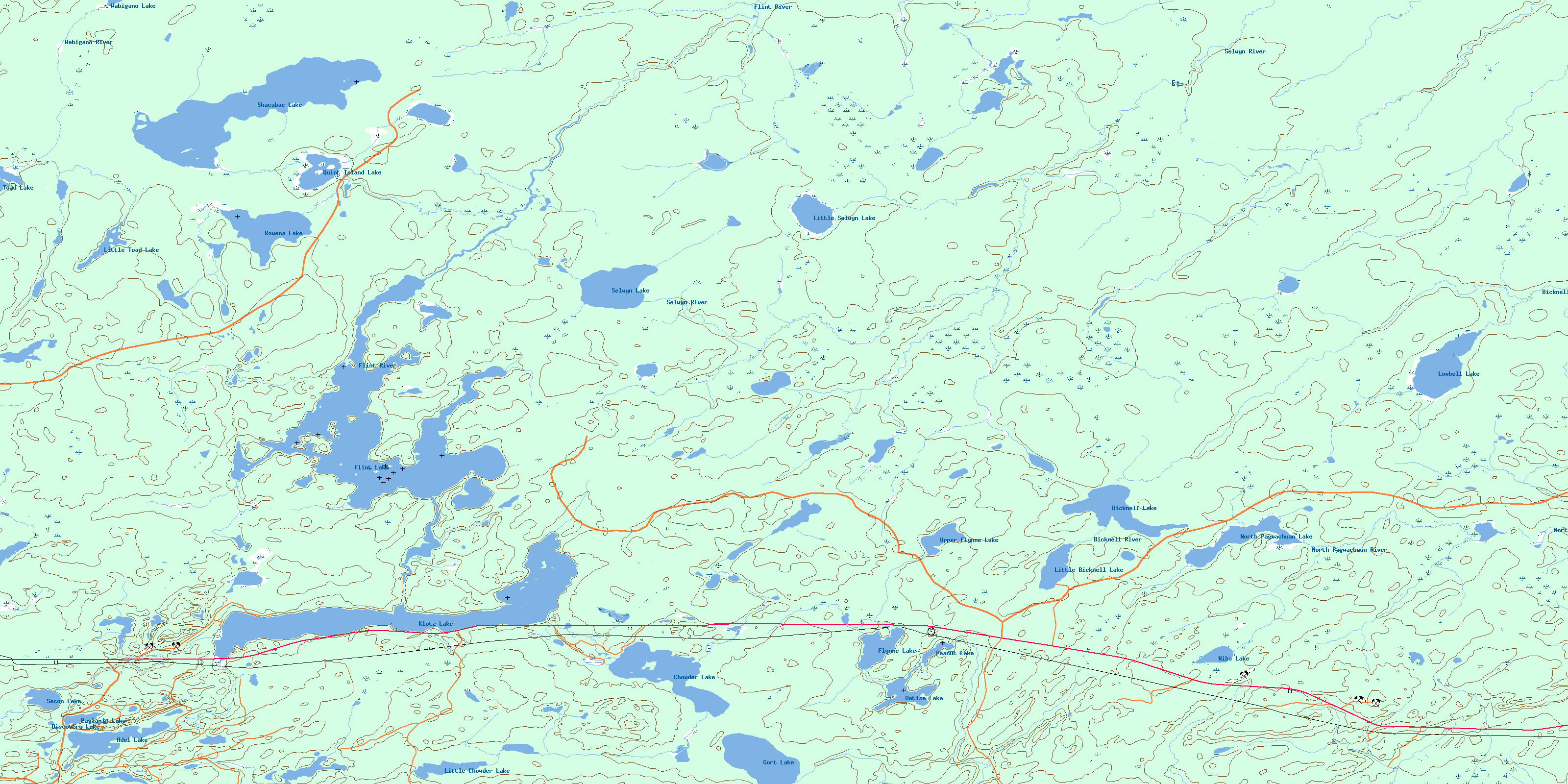
042F13 Flint Lake Topo Map
To view this map, mouse over the map preview on the right.
You can also download this topo map for free:
042F13 Flint Lake high-resolution topo map image.
Maps for the Flint Lake topo map sheet 042F13 at 1:50,000 scale are also available in these versions:
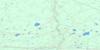
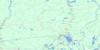
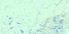
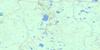
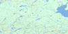
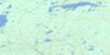
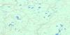
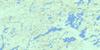
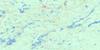
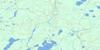
Flint Lake Surrounding Area Topo Maps
 |
 |
 |
 |
 |
 |
 |
 |
 |
 |
 |
 |
 |
 |
 |
 |
© Department of Natural Resources Canada. All rights reserved.
Flint Lake Gazetteer
The following places can be found on topographic map sheet 042F13 Flint Lake:
Flint Lake Topo Map: Geographical areas
BarlowBell
Cochrane
Fernow
Goodwin
Henderson
Klotz
Low
Selwyn
Flint Lake Topo Map: Lakes
Adel LakeBatise Lake
Bicknell Lake
Chowder Lake
Discovery Lake
Flint Lake
Flynne Lake
Gort Lake
Klotz Lake
Little Bicknell Lake
Little Chowder Lake
Little Selwyn Lake
Little Toad Lake
Lowbell Lake
Nibs Lake
North Pagwachuan Lake
Paglamin Lake
Peanut Lake
Pit Lake
Pyro Lake
Quint Island Lake
Rowena Lake
Secon Lake
Selwyn Lake
Shacabac Lake
Toad Lake
Upper Flynne Lake
Wabigano Lake
Flint Lake Topo Map: Conservation areas
Low/Bell Conservation ReserveFlint Lake Topo Map: Rivers
Bicknell RiverChowder Creek
Flint River
Flynne Creek
Gort Creek
Hoiles Creek
Little Selwyn Creek
Lowbell Creek
Manafey Creek
Nibs Creek
North Pagwachuan River
Rowena Creek
Selwyn River
Shacabac Creek
Wabigano River
© Department of Natural Resources Canada. All rights reserved.
042F Related Maps:
042F Hornepayne042F01 Oba
042F02 Hornepayne
042F03 Obakamiga Lake
042F04 Manitouwadge
042F05 White Otter River
042F06 Nagagami Lake
042F07 Nagagamisis Lake
042F08 Pope Creek
042F09 Nassau Lake
042F10 Ahmabel Lake
042F11 Osawin River
042F12 Kassagimini Lake
042F13 Flint Lake
042F14 Eureka Lake
042F15 Pitopiko River
042F16 Constance Lake
