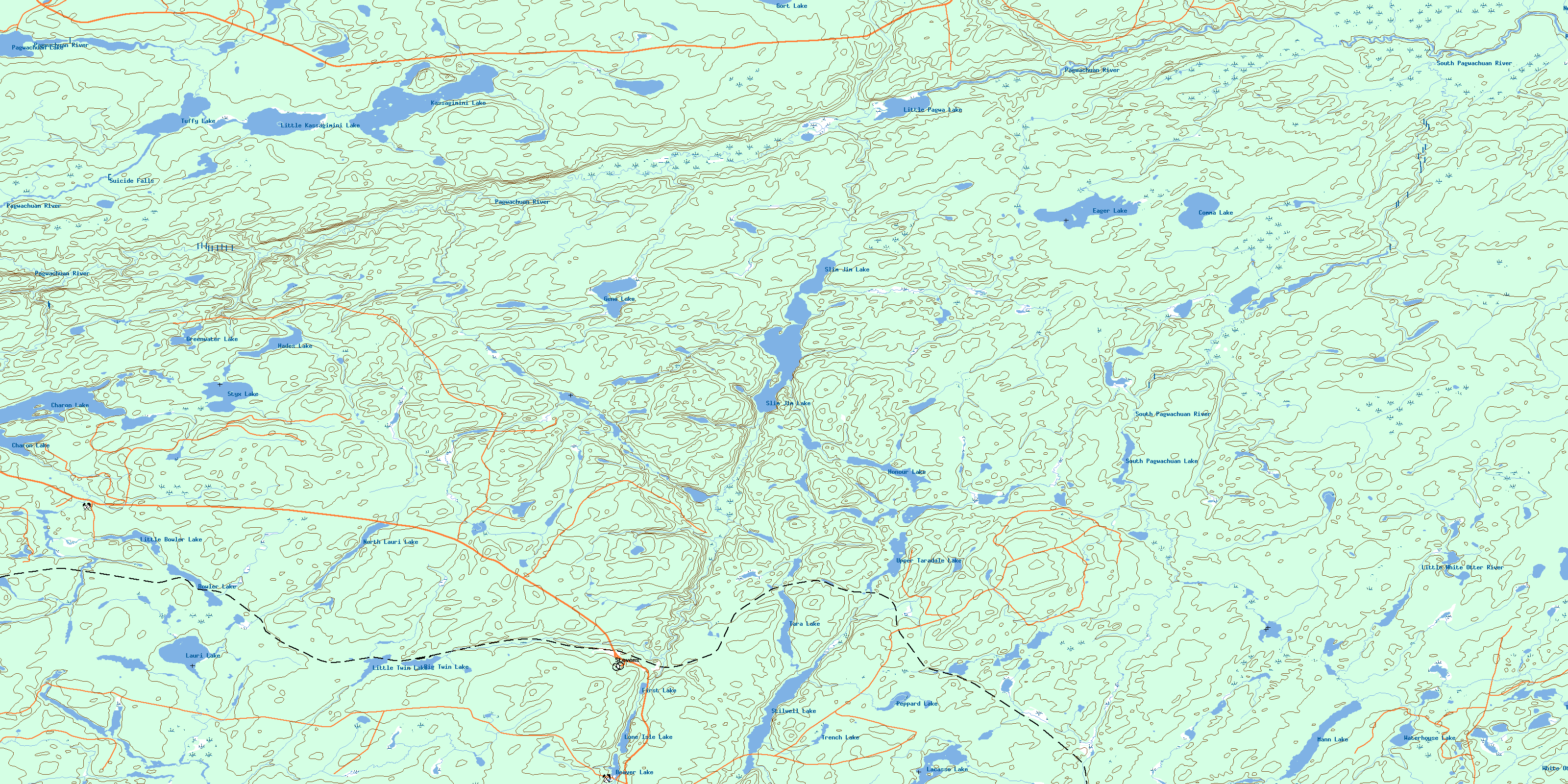
Kassagimini Lake Topo Map Online
Download Free Topo Map Sheet 042F12 at 1:50,000 scale
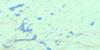
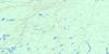
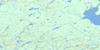
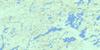
042F12 Kassagimini Lake Topo Map
To view this map, mouse over the map preview on the right.
You can also download this topo map for free:
042F12 Kassagimini Lake high-resolution topo map image.
Maps for the Kassagimini Lake topo map sheet 042F12 at 1:50,000 scale are also available in these versions:
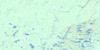
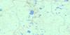
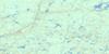
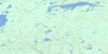
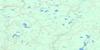
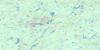
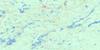
Kassagimini Lake Surrounding Area Topo Maps
 |
 |
 |
 |
 |
 |
 |
 |
 |
 |
 |
 |
 |
 |
 |
 |
© Department of Natural Resources Canada. All rights reserved.
Kassagimini Lake Gazetteer
The following places can be found on topographic map sheet 042F12 Kassagimini Lake:
Kassagimini Lake Topo Map: Falls
Suicide FallsKassagimini Lake Topo Map: Lakes
Beaver LakeBig Twin Lake
Bowler Lake
Charon Lake
Comma Lake
Eager Lake
First Lake
Gene Lake
Gort Lake
Greenwater Lake
Hades Lake
Honour Lake
Kassagimini Lake
Lacasse Lake
Lauri Lake
Little Bowler Lake
Little Kassagimini Lake
Little Pagwa Lake
Little Twin Lake
Lone Isle Lake
Mann Lake
North Lauri Lake
Pagwachuan Lake
Peppard Lake
Slim Jim Lake
South Pagwachuan Lake
Stilwell Lake
Styx Lake
Tara Lake
Trench Lake
Tuffy Lake
Turtle Lake
Upper Taradale Lake
Waterhouse Lake
Kassagimini Lake Topo Map: Rivers
Arms CreekBowler Creek
Chain Creek
Charon Creek
Flynne Creek
Gamsby Creek
Gene Creek
Gort Creek
Kassagimini Creek
Lauri Creek
Little White Otter River
Lone Isle Creek
Loughlan Creek
North Pagwachuan River
Pagwachuan River
South Gamsby Creek
South Pagwachuan River
Stilwell Creek
Styx Creek
White Otter River
Kassagimini Lake Topo Map: Unincorporated areas
GamsbyOtterdale
Stevens
Taradale
© Department of Natural Resources Canada. All rights reserved.
042F Related Maps:
042F Hornepayne042F01 Oba
042F02 Hornepayne
042F03 Obakamiga Lake
042F04 Manitouwadge
042F05 White Otter River
042F06 Nagagami Lake
042F07 Nagagamisis Lake
042F08 Pope Creek
042F09 Nassau Lake
042F10 Ahmabel Lake
042F11 Osawin River
042F12 Kassagimini Lake
042F13 Flint Lake
042F14 Eureka Lake
042F15 Pitopiko River
042F16 Constance Lake
