York Lake Topo Map Online
Download Free Topo Map Sheet 053E16 at 1:50,000 scale
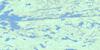
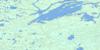
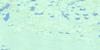
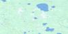
053E16 York Lake Topo Map
To view this map, mouse over the map preview on the right.
You can also download this topo map for free:
053E16 York Lake high-resolution topo map image.
Maps for the York Lake topo map sheet 053E16 at 1:50,000 scale are also available in these versions:
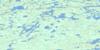
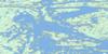
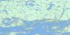
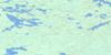
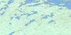
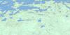
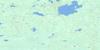
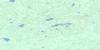
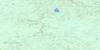
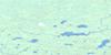
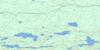
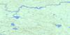
York Lake Surrounding Area Topo Maps
 |
 |
 |
 |
 |
 |
 |
 |
 |
 |
 |
 |
 |
 |
 |
 |
© Department of Natural Resources Canada. All rights reserved.
York Lake Gazetteer
The following places can be found on topographic map sheet 053E16 York Lake:
York Lake Topo Map: Bays
Chapin BayCochrane Bay
Makosteekwaneekakan Bay
Nicholls Bay
Onutow Bay
Turcotte Bay
York Lake Topo Map: Capes
Howe PeninsulaRalph Point
Stewart Black Peninsula
Walteres Point
Walters Point
York Lake Topo Map: Channels
Collins NarrowsKeekwahukayo Narrows
Mahamo Narrows
Pickerel Narrows
York Lake Topo Map: Islands
Bluff IslandBouchard Island
Boyd Island
Chain Islands
Eyapaysis Islands
Grand Island
Hallett Island
Harper Island
Heart Island
Johnston Graham Island
Keespakotik Island
Lawrence Island
Loonfoot Island
Maykasi Island
McHugh Island
McPhail Island
Meegeesiwaseeson Island
Meyer Island
Neville Island
Normand Island
Norrie Island
Okay Island
Potter Island
Savage Islands
Sinclair Islands
Strachan Island
Thordarson Island
Webster Island
Whiteway Island
York Island
York Lake Topo Map: Lakes
Irving LakeIsland Lake
John Hughes Lake
Kamisikamak Lake
Kaneenokamak Lake
Kokus Lake
Krolman Lake
Letkeman Lake
Long Lake
Mangnakwagan Lake
McGowan Lake
Ministikos Lake
Moran Lake
Okasanmeekanan Lake
Pasataypechekun Lake
Walsh Lake
York Lake
York Lake Topo Map: Mountains
Kamekanskwatinak HillYork Lake Topo Map: Road features
Mahamo PortageYork Lake Topo Map: Unincorporated areas
Kitchiokonim Place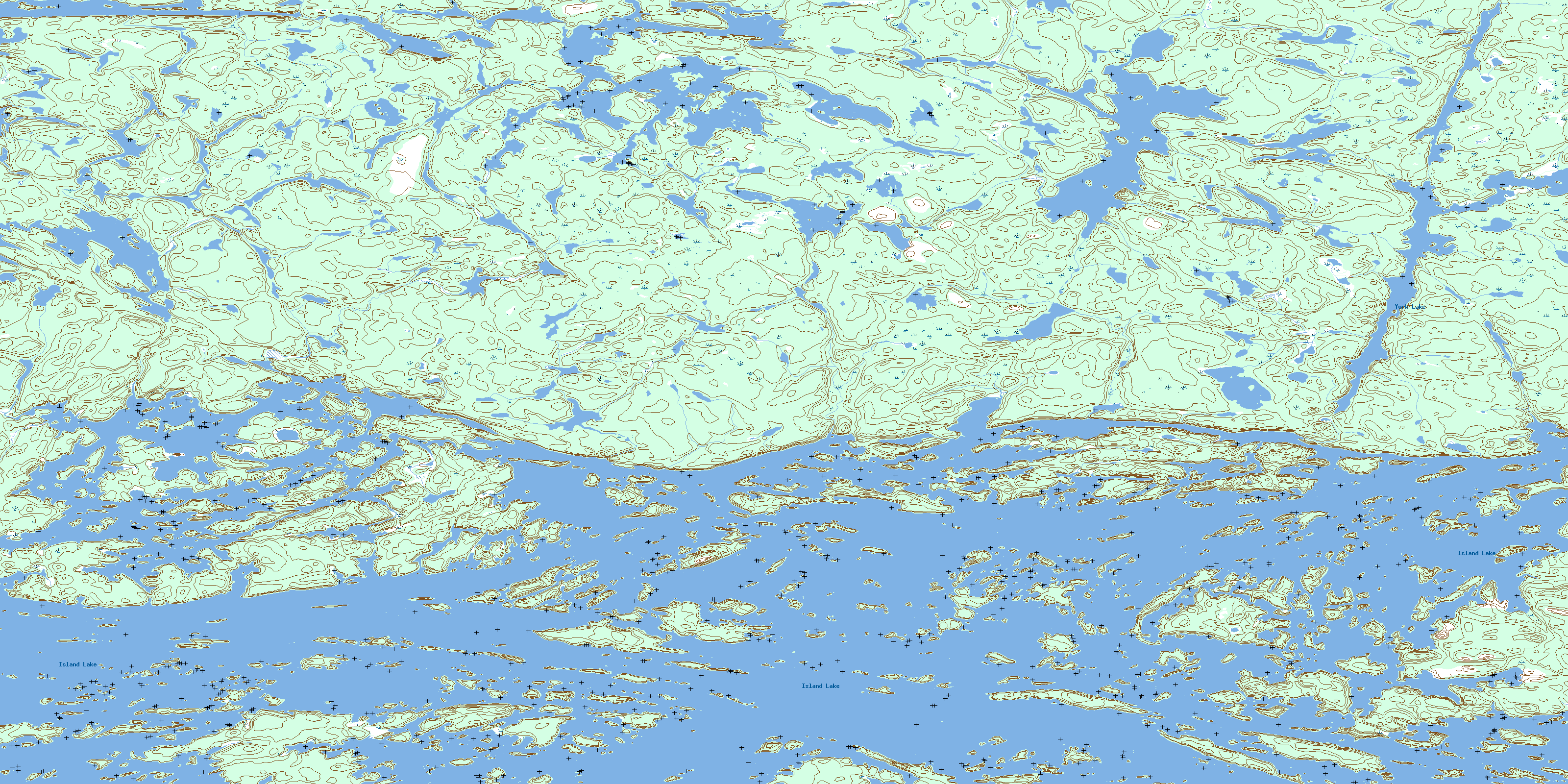
© Department of Natural Resources Canada. All rights reserved.
053E Related Maps:
053E Island Lake053E01 Varveclay Lake
053E02 Gorman Lake
053E03 Lily Pad Lake
053E04 Hudwin Lake
053E05 Namaykosogun Lake
053E06 Cantin Lake
053E07 No Title
053E08 Oasis Lake
053E09 Benson Bay
053E10E Wapus Bay
053E10W Wapus Bay
053E11 Wass Lake
053E12 Bigstone Lake
053E13 Kakinokamak Lake
053E14 Dobbs Lake
053E15 Island Lake
053E16 York Lake
