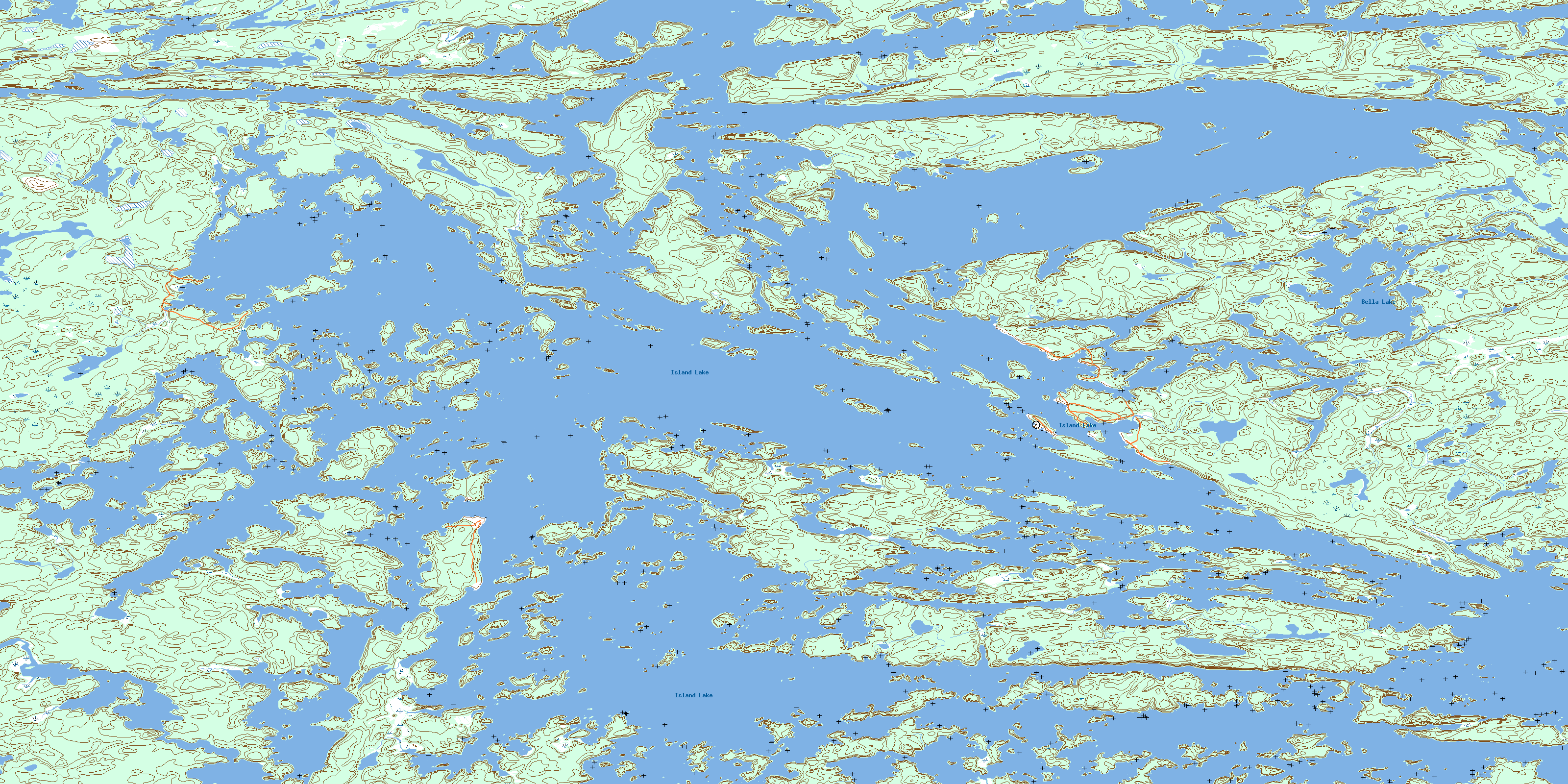
Island Lake Topo Map Online
Download Free Topo Map Sheet 053E15 at 1:50,000 scale
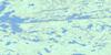
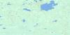
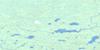
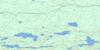
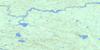
053E15 Island Lake Topo Map
To view this map, mouse over the map preview on the right.
You can also download this topo map for free:
053E15 Island Lake high-resolution topo map image.
Maps for the Island Lake topo map sheet 053E15 at 1:50,000 scale are also available in these versions:
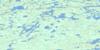
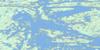
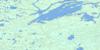
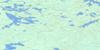
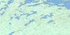
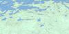
Island Lake Surrounding Area Topo Maps
 |
 |
 |
 |
 |
 |
 |
 |
 |
 |
 |
 |
 |
 |
 |
 |
© Department of Natural Resources Canada. All rights reserved.
Island Lake Gazetteer
The following places can be found on topographic map sheet 053E15 Island Lake:
Island Lake Topo Map: Bays
Alfred Moore BayChapin Bay
Cochrane Bay
Collins Bay
D'Arcis Bay
Dubeau Bay
Dussault Bay
Edwin Young Bay
Meegeesi Bay
Waasagomach Bay
Wasagamack Bay
Island Lake Topo Map: Capes
Fleet PointMacTavish Peninsula
Milton Peninsula
St. Theresa Point
Island Lake Topo Map: Channels
Kakeeskow NarrowsIsland Lake Topo Map: Indian Reserves
Bella Lake Exchange LandsGarden Hill First Nation
Island Lake Indian Reserve 22
Island Lake Indian Reserve 22A
Réserve indienne Island Lake 22
Réserve indienne Island Lake 22A
St. Theresa Point
Wasagamack
Island Lake Topo Map: Islands
Alexander IslandArthur Moore Island
Beeminigi Island
Booth Island
Chapin Island
Chudzik Island
Cochrane Island
Confederation Island
Disbrowe Island
Donald Stewart Island
Dutil Island
Dutile Island
Goulet Island
Gravel Island
Henderson Island
Holdstock Island
Horseshoe Island
Jubilee Island
Kokus Island
Linklater Island
Long Island
Maynard Island
McAuley Island
Miller Island
Nelson Island
Oganse Island
Pipe Point Island
Rex Island
Richardson Island
St. Mary Island
Stevenson Island
Wass Island
Wylie Island
Island Lake Topo Map: Lakes
Alexander Mitchell LakeBella Lake
Farand Lake
Island Lake
Island Lake Topo Map: Natural resources sites
Ministik MineIsland Lake Topo Map: Rivers
Mukataywagus RiverIsland Lake Topo Map: Road features
Eagle PortageMeeswi Portage
Island Lake Topo Map: Unincorporated areas
Garden HillIsland Lake
Kapaneewekamik Place
St. Theresa Point
Waasagomach
Waasagomach Bay
Wasagamack
© Department of Natural Resources Canada. All rights reserved.
053E Related Maps:
053E Island Lake053E01 Varveclay Lake
053E02 Gorman Lake
053E03 Lily Pad Lake
053E04 Hudwin Lake
053E05 Namaykosogun Lake
053E06 Cantin Lake
053E07 No Title
053E08 Oasis Lake
053E09 Benson Bay
053E10E Wapus Bay
053E10W Wapus Bay
053E11 Wass Lake
053E12 Bigstone Lake
053E13 Kakinokamak Lake
053E14 Dobbs Lake
053E15 Island Lake
053E16 York Lake
