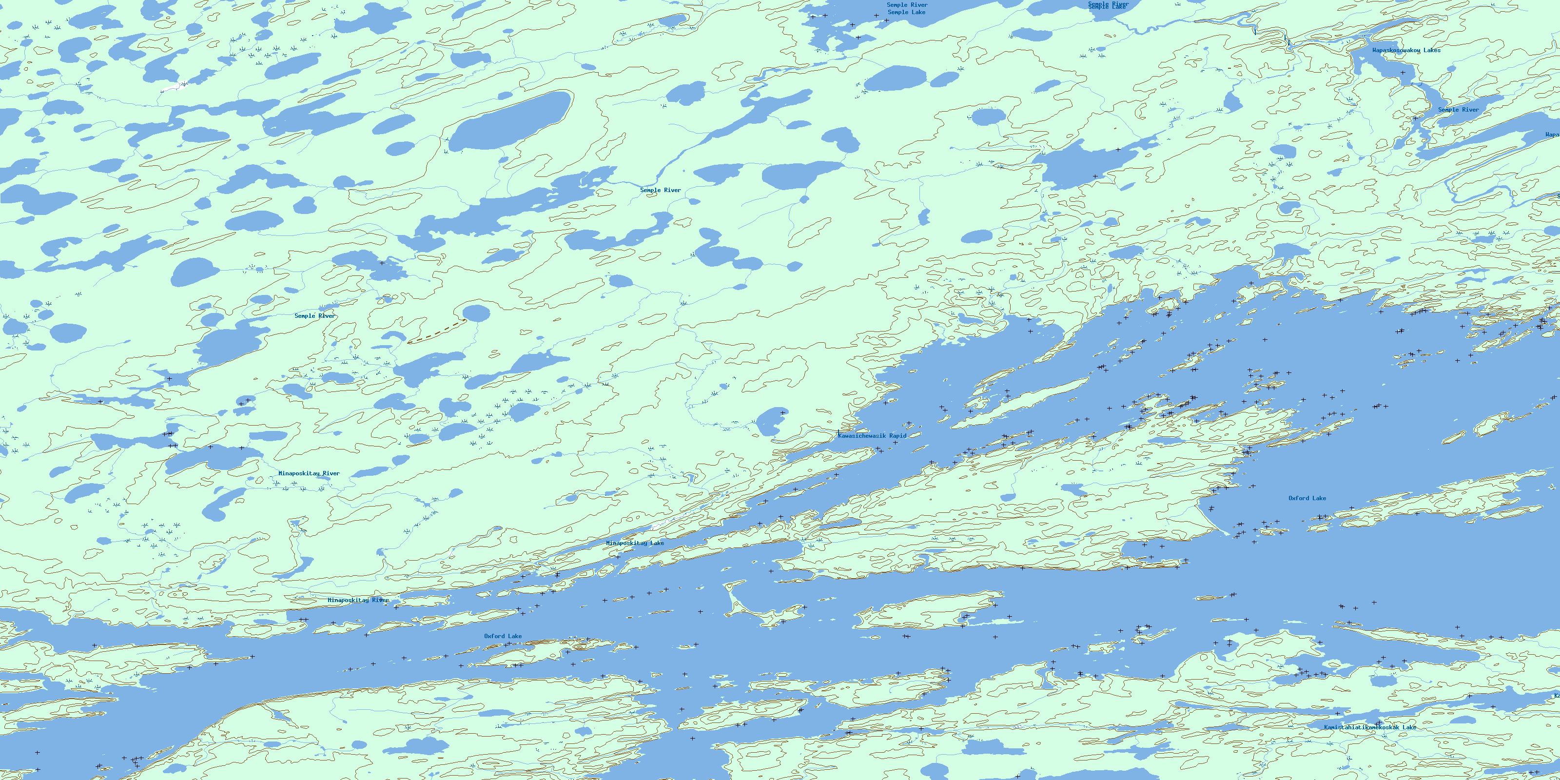
Carghill Island Topo Map Online
Download Free Topo Map Sheet 053L13 at 1:50,000 scale
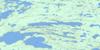
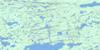
053L13 Carghill Island Topo Map
To view this map, mouse over the map preview on the right.
You can also download this topo map for free:
053L13 Carghill Island high-resolution topo map image.
Maps for the Carghill Island topo map sheet 053L13 at 1:50,000 scale are also available in these versions:
Carghill Island Surrounding Area Topo Maps
 |
 |
 |
 |
 |
 |
 |
 |
 |
 |
 |
 |
 |
 |
 |
 |
© Department of Natural Resources Canada. All rights reserved.
Carghill Island Gazetteer
The following places can be found on topographic map sheet 053L13 Carghill Island:
Carghill Island Topo Map: Bays
Carrot BayCat Eye Bay
Kwaykwaychi Bay
Lynx Bay
Carghill Island Topo Map: Capes
Kanchopeesiskak PointMcIvor Peninsula
Miniskampakitayakanik Point
Omaseesokwapa Point
Paterson Peninsula
Carghill Island Topo Map: Channels
Carghill ChannelKawapasik Narrows
Panipankos Narrows
Carghill Island Topo Map: Indian Reserves
Oxford House 24aCarghill Island Topo Map: Islands
Bjornson IslandBleak Island
Carghill Island
Christie Island
High Rock Island
Hyers Island
Joy Island
Kanawastiwiwin Island
Kisetpiskanak Island
Kiskoteminakok Island
Lloyd Island
Pisew Island
Thomsen Island
Carghill Island Topo Map: Lakes
Hildebrand LakeKamistahiatikamekoskak Lake
Louis Roberts Lake
Michikinabish Lake
Minaposkitay Lake
Oxford Lake
Semple Lake
Thomas McLeod Lake
Wapaskosowakow Lakes
Carghill Island Topo Map: Rapids
Kawasichewasik RapidCarghill Island Topo Map: Rivers
Minaposkitay RiverPorcupine Hill Creek
Semple River
© Department of Natural Resources Canada. All rights reserved.
053L Related Maps:
053L Oxford House053L01 Mistuhe Lake
053L02 Kakeenukamak Lake
053L03 Opom Lake
053L04 Nikik Lake
053L05 Bolton Lake
053L06 Joint Lake
053L07 Kanuchuan Rapids
053L08 Murray Lake
053L09 Gods Lake
053L10 Vermilyea Lake
053L11 Munro Lake
053L12 Windy Lake
053L13 Carghill Island
053L14 Oxford House
053L15 Knee Lake
053L16 Mcivor Lake
