Chisaki Lake Topo Map Online
Download Free Topo Map Sheet 063B04 at 1:50,000 scale
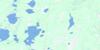
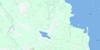
063B04 Chisaki Lake Topo Map
To view this map, mouse over the map preview on the right.
You can also download this topo map for free:
063B04 Chisaki Lake high-resolution topo map image.
Maps for the Chisaki Lake topo map sheet 063B04 at 1:50,000 scale are also available in these versions:
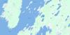
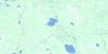
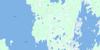
Chisaki Lake Surrounding Area Topo Maps
 |
 |
 |
|
 |
 |
 |
|
 |
 |
 |
 |
 |
 |
 |
 |
© Department of Natural Resources Canada. All rights reserved.
Chisaki Lake Gazetteer
The following places can be found on topographic map sheet 063B04 Chisaki Lake:
Chisaki Lake Topo Map: Bays
Coffeys BayGlory Harbour
Kokokoo Bay
Long Bay
McAulay Harbour
Sawmill Bay
Solomons Bay
Chisaki Lake Topo Map: Capes
Adams PointBrabant Point
Coffee Point
Coffeys Point
Jacks Point
North Adams Point
Red Deer Point
Chisaki Lake Topo Map: Cliffs
Campbells BluffChisaki Lake Topo Map: Indian Reserves
Waterhen 45Chisaki Lake Topo Map: Islands
Big Hunters IslandChiefs Island
Devils Island
Garden Island
Gun Island
High Island
Hunters Island
Kokokoo Island
Last Island
McLeods Island
Pipe Island
Sawbill Island
Chisaki Lake Topo Map: Lakes
Chisaki LakeInland Lake
Lac Winnipegosis
Lake Winnipegosis
Little Long Lake
Waterhen Lake
Chisaki Lake Topo Map: Mountains
Timberwolf RidgeChisaki Lake Topo Map: Other municipal/district area - miscellaneous
Mossey RiverChisaki Lake Topo Map: Conservation areas
Red Deer Point Game Bird RefugeChisaki Lake Topo Map: Rivers
West Waterhen River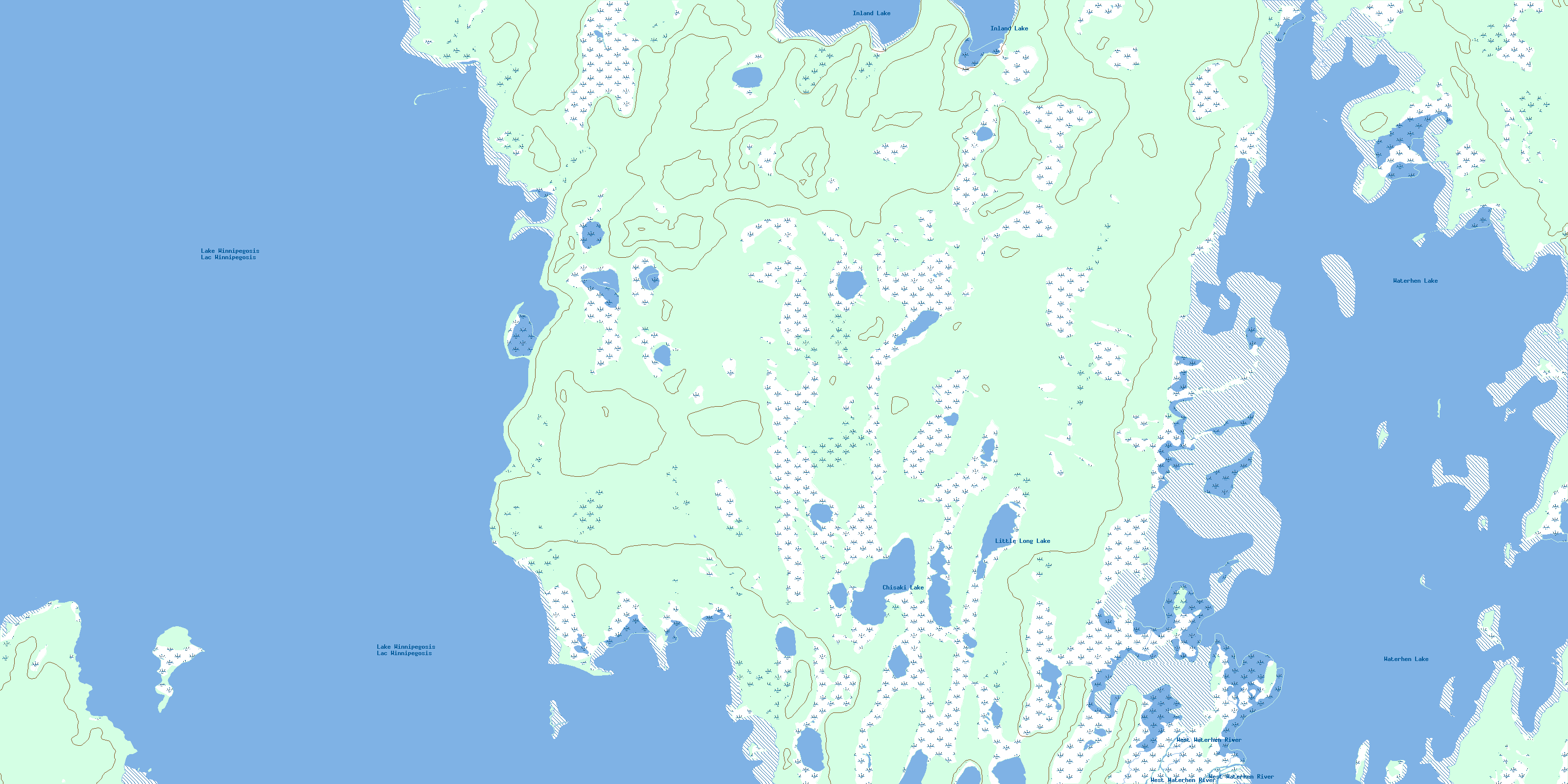
© Department of Natural Resources Canada. All rights reserved.
063B Related Maps:
063B Waterhen Lake063B01 Clarks Point
063B02 Pine Lake
063B03 Archies Lake
063B04 Chisaki Lake
063B05 Sisters Islands
063B06 Chitek Lake
063B07 Reedy Lake
063B08 Reindeer Harbour
063B10 Kitching Point
063B11 Sisib Lake
063B12 Point Laronde
063B13 Denbeigh Point
063B14 Katimik Lake
063B15 Wicked Point
