William Lake Topo Map Online
Download Free Topo Map Sheet 063G14 at 1:50,000 scale
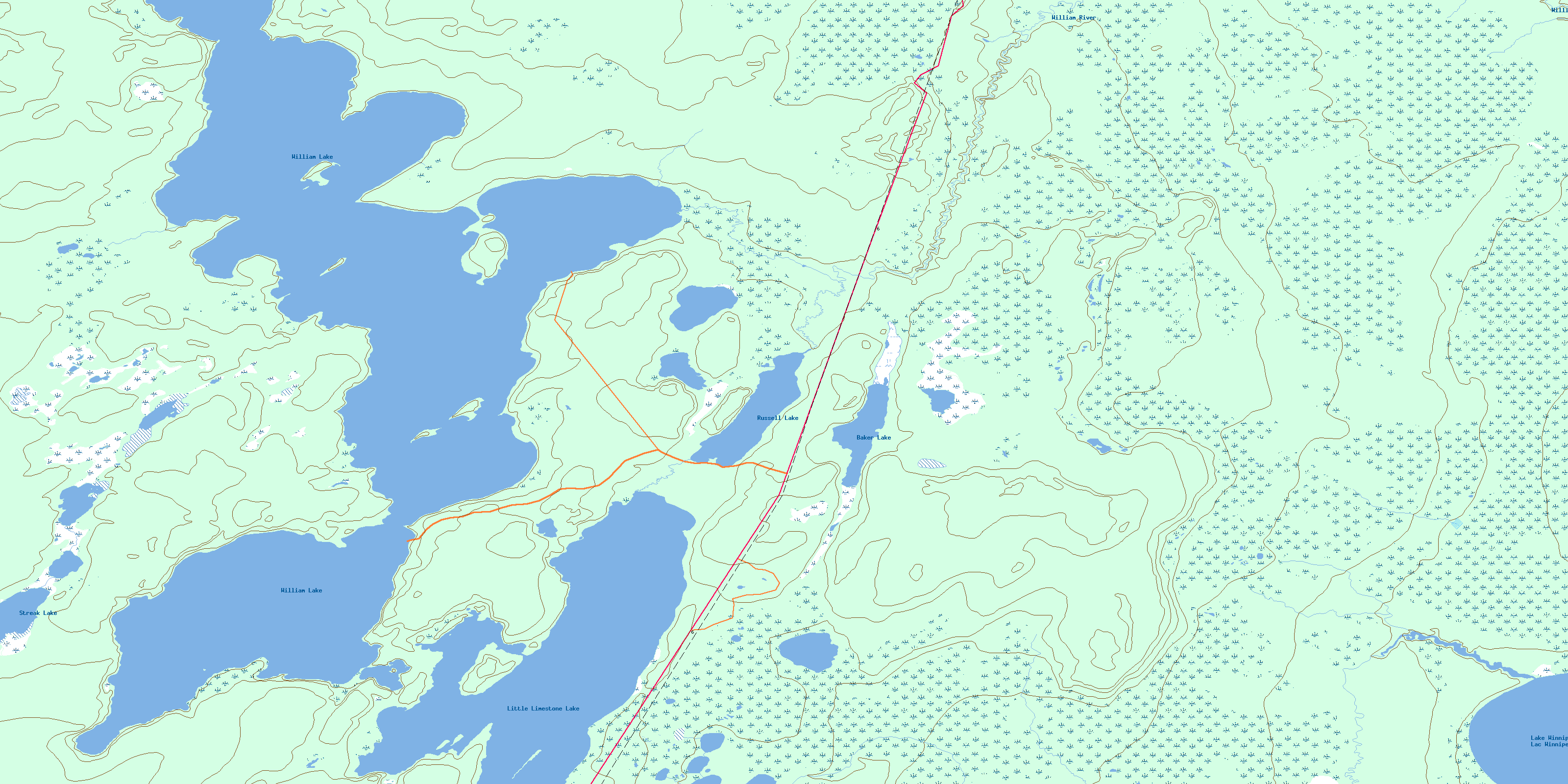
063G14 William Lake Topo Map
To view this map, mouse over the map preview on the right.
You can also download this topo map for free:
063G14 William Lake high-resolution topo map image.
Maps for the William Lake topo map sheet 063G14 at 1:50,000 scale are also available in these versions:
William Lake Surrounding Area Topo Maps
 |
 |
 |
 |
 |
 |
 |
|
 |
 |
||
 |
 |
 |
© Department of Natural Resources Canada. All rights reserved.
William Lake Gazetteer
The following places can be found on topographic map sheet 063G14 William Lake:
William Lake Topo Map: Bays
Limestone BayWilliam Lake Topo Map: Indian Reserves
Moose Lake 31JWilliam Lake Topo Map: Lakes
Baker LakeLac Winnipeg
Lake Winnipeg
Little Limestone Lake
Russell Lake
Streak Lake
William Lake
William Lake Topo Map: Rivers
Cypress CreekWilliam River
© Department of Natural Resources Canada. All rights reserved.
