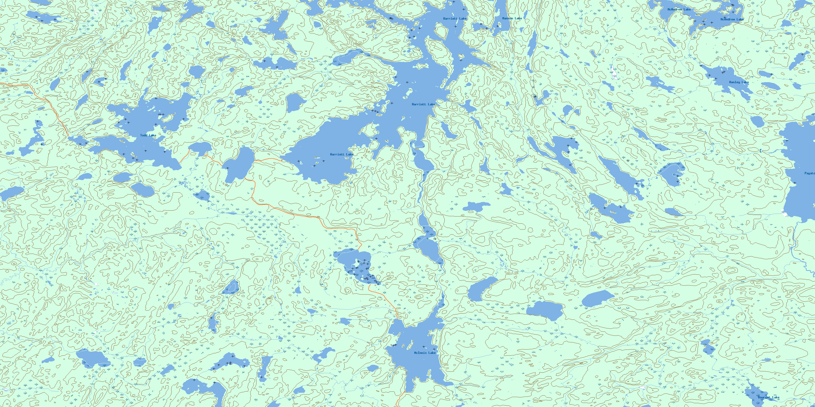
Harriott Lake Topo Map Online
Download Free Topo Map Sheet 064D02 at 1:50,000 scale
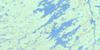
064D02 Harriott Lake Topo Map
To view this map, mouse over the map preview on the right.
You can also download this topo map for free:
064D02 Harriott Lake high-resolution topo map image.
Maps for the Harriott Lake topo map sheet 064D02 at 1:50,000 scale are also available in these versions:
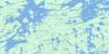
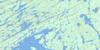
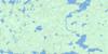
Harriott Lake Surrounding Area Topo Maps
 |
 |
 |
 |
 |
 |
 |
 |
 |
 |
 |
 |
 |
 |
 |
 |
© Department of Natural Resources Canada. All rights reserved.
Harriott Lake Gazetteer
The following places can be found on topographic map sheet 064D02 Harriott Lake:
Harriott Lake Topo Map: Bays
McCaffrey BayHarriott Lake Topo Map: Islands
Merritt IslandHarriott Lake Topo Map: Lakes
Bourget LakeHanley Lake
Harriott Lake
Leach Lake
Luciw Lake
Manson Lake
McAndrew Lake
McInnis Lake
Pagato Lake
Richardson Lake
Todd Lake
Harriott Lake Topo Map: Rivers
McDonald CreekPagato River
© Department of Natural Resources Canada. All rights reserved.
064D Related Maps:
064D Numabin Bay064D01 Kamatsi Lake
064D02 Harriott Lake
064D03 Royal Lake
064D04 Lower Waddy Lake
064D05 May Lake
064D06 Southend
064D07 Finlayson Lake
064D08 Kyaska Lake
064D09 Bleasdell Lake
064D10 Milton Island
064D11 Ghana Lake
064D12 Macoun Lake
064D13 Wathaman Lake
064D14 Oliver Lake
064D15 Perry Lake
064D16 Amiskit Island
