Coleville Topo Map Online
Download Free Topo Map Sheet 072N11 at 1:50,000 scale
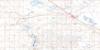
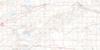
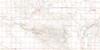
072N11 Coleville Topo Map
To view this map, mouse over the map preview on the right.
You can also download this topo map for free:
072N11 Coleville high-resolution topo map image.
Maps for the Coleville topo map sheet 072N11 at 1:50,000 scale are also available in these versions:
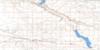
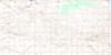
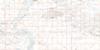
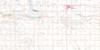
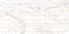
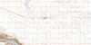
Coleville Surrounding Area Topo Maps
 |
 |
 |
 |
 |
 |
 |
 |
 |
 |
 |
 |
 |
 |
 |
 |
© Department of Natural Resources Canada. All rights reserved.
Coleville Gazetteer
The following places can be found on topographic map sheet 072N11 Coleville:
Coleville Topo Map: Lakes
Teo LakesColeville Topo Map: Other municipal/district area - miscellaneous
Kindersley No. 290Oakdale No. 320
Prairiedale No. 321
Coleville Topo Map: Rivers
Shovel CreekColeville Topo Map: Unincorporated areas
BeaufieldDriver
Coleville Topo Map: Villages
ColevilleSmiley

© Department of Natural Resources Canada. All rights reserved.
