Wartime Topo Map Online
Download Free Topo Map Sheet 072N01 at 1:50,000 scale
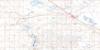
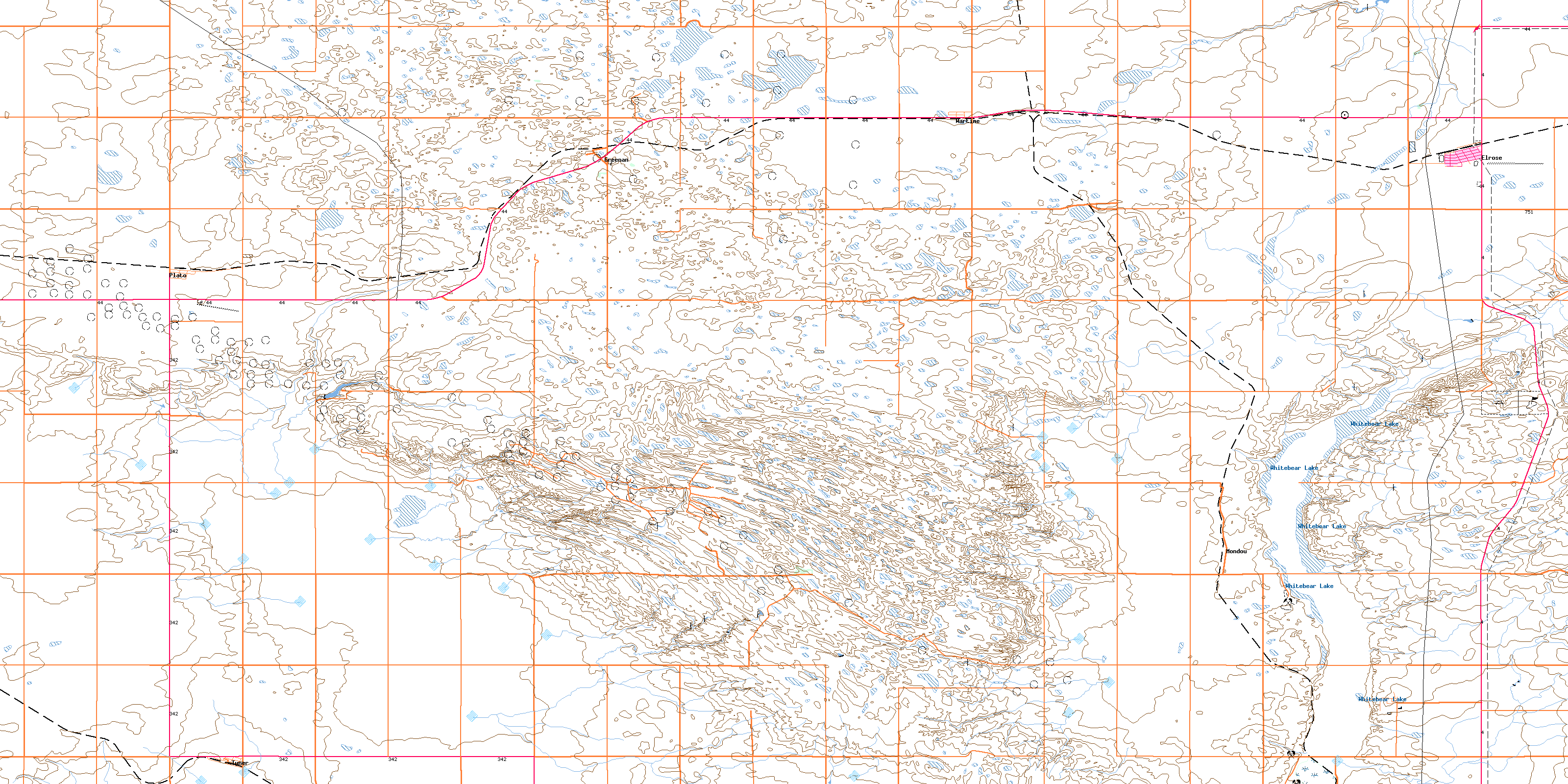
072N01 Wartime Topo Map
To view this map, mouse over the map preview on the right.
You can also download this topo map for free:
072N01 Wartime high-resolution topo map image.
Maps for the Wartime topo map sheet 072N01 at 1:50,000 scale are also available in these versions:
Wartime Surrounding Area Topo Maps
 |
 |
 |
 |
 |
 |
 |
 |
 |
 |
 |
 |
 |
 |
 |
 |
© Department of Natural Resources Canada. All rights reserved.
Wartime Gazetteer
The following places can be found on topographic map sheet 072N01 Wartime:
Wartime Topo Map: Cliffs
Coteau (The)The Coteau
Wartime Topo Map: Lakes
Whitebear LakeWartime Topo Map: Other municipal/district area - miscellaneous
Lacadena No. 228Monet No. 257
Snipe Lake No. 259
Wartime Topo Map: Conservation areas
Elrose Regional ParkWartime Topo Map: Rivers
Smith CreekWartime Topo Map: Springs
Hudson SpringMonet Spring
Wartime Topo Map: Towns
ElroseWartime Topo Map: Unincorporated areas
GreenanLille
Mondou
Plato
Tyner
Wartime
Wartime Topo Map: Valleys
Tezorton CouleeTyner Coulee
© Department of Natural Resources Canada. All rights reserved.
