Eston Topo Map Online
Download Free Topo Map Sheet 072N02 at 1:50,000 scale
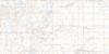
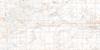
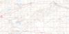
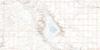
072N02 Eston Topo Map
To view this map, mouse over the map preview on the right.
You can also download this topo map for free:
072N02 Eston high-resolution topo map image.
Maps for the Eston topo map sheet 072N02 at 1:50,000 scale are also available in these versions:
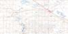
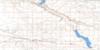
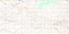
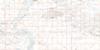
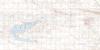
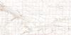
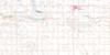
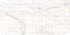
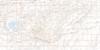
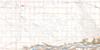
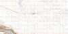
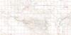
Eston Surrounding Area Topo Maps
 |
 |
 |
 |
 |
 |
 |
 |
 |
 |
 |
 |
 |
 |
 |
 |
© Department of Natural Resources Canada. All rights reserved.
Eston Gazetteer
The following places can be found on topographic map sheet 072N02 Eston:
Eston Topo Map: Lakes
Snipe LakeEston Topo Map: Other municipal/district area - miscellaneous
Clinworth No. 230Lacadena No. 228
Miry Creek No. 229
Newcombe No. 260
Snipe Lake No. 259
Eston Topo Map: Rivers
Montrose CreekRivière Saskatchewan Sud
South Saskatchewan River
Eston Topo Map: Towns
EstonEston Topo Map: Unincorporated areas
IshamRichlea
Snipe Lake
Witley
Eston Topo Map: Valleys
Forks Coulee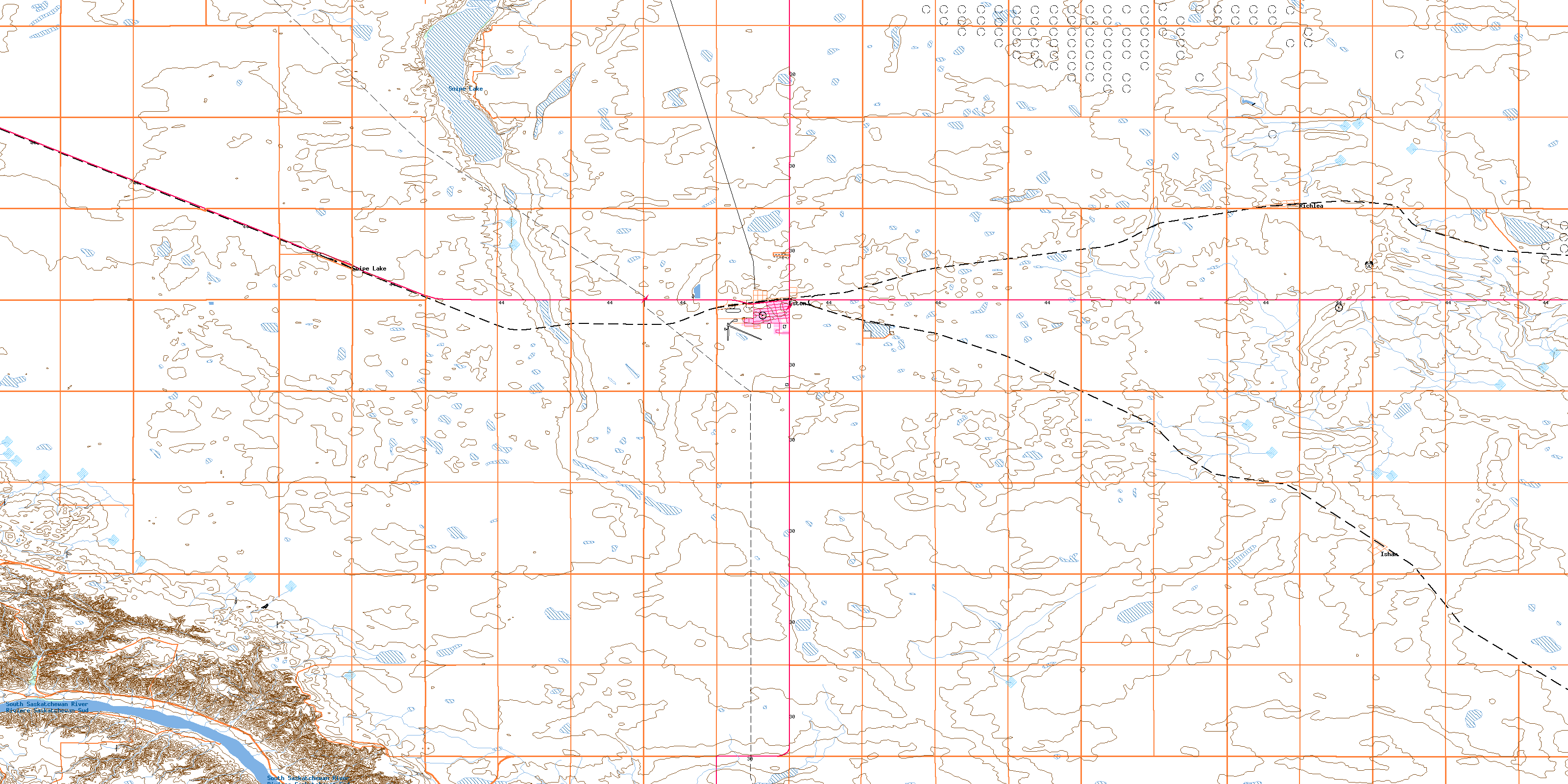
© Department of Natural Resources Canada. All rights reserved.
