Alsask Topo Map Online
Download Free Topo Map Sheet 072N05 at 1:50,000 scale
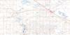
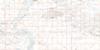
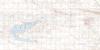
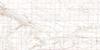
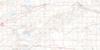
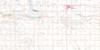
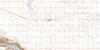
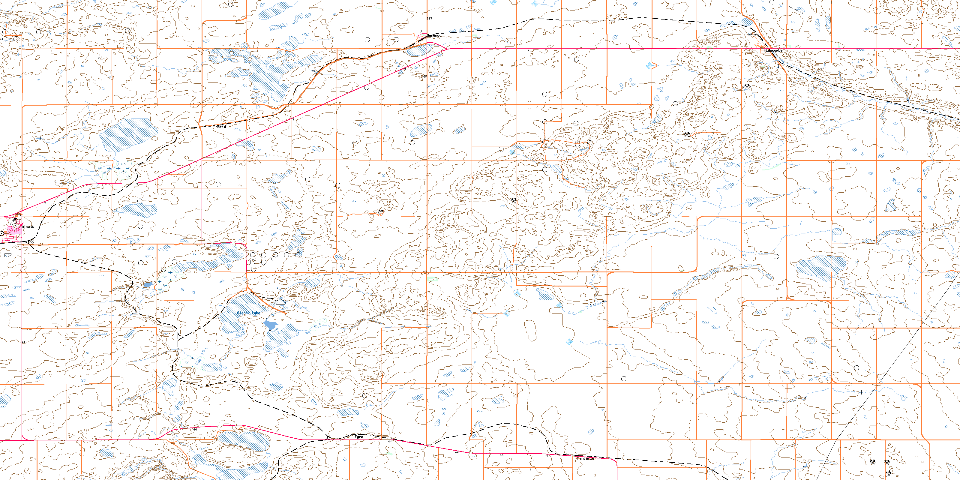
072N05 Alsask Topo Map
To view this map, mouse over the map preview on the right.
You can also download this topo map for free:
072N05 Alsask high-resolution topo map image.
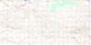
Maps for the Alsask topo map sheet 072N05 at 1:50,000 scale are also available in these versions:
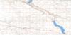
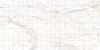
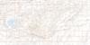
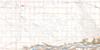
Alsask Surrounding Area Topo Maps
 |
 |
 |
 |
 |
 |
 |
 |
 |
 |
 |
 |
 |
 |
 |
 |
© Department of Natural Resources Canada. All rights reserved.
Alsask Gazetteer
The following places can be found on topographic map sheet 072N05 Alsask:
Alsask Topo Map: Hamlets
MantarioAlsask Topo Map: Lakes
Alsask LakeAlsask Topo Map: Other municipal/district area - miscellaneous
Chesterfield No. 261Kindersley No. 290
Milton No. 292
Alsask Topo Map: Conservation areas
Buffalo Rubbing Stone Historic SitePrairie National Wildlife Area
Réserve nationale de faune des Prairies
Alsask Topo Map: Unincorporated areas
CraiglandsEyre
Hardene
Merid
Alsask Topo Map: Villages
AlsaskFlaxcombe
Marengo
© Department of Natural Resources Canada. All rights reserved.
