Smeaton Topo Map Online
Download Free Topo Map Sheet 073H07 at 1:50,000 scale
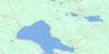
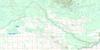
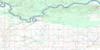
073H07 Smeaton Topo Map
To view this map, mouse over the map preview on the right.
You can also download this topo map for free:
073H07 Smeaton high-resolution topo map image.
Maps for the Smeaton topo map sheet 073H07 at 1:50,000 scale are also available in these versions:
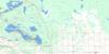
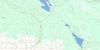
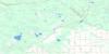
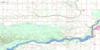
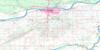
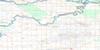
Smeaton Surrounding Area Topo Maps
 |
 |
 |
 |
 |
 |
 |
 |
 |
 |
 |
 |
 |
 |
 |
 |
© Department of Natural Resources Canada. All rights reserved.
Smeaton Gazetteer
The following places can be found on topographic map sheet 073H07 Smeaton:
Smeaton Topo Map: Hamlets
ShipmanSnowden
Smeaton Topo Map: Lakes
Codette LakeSmeaton Topo Map: Other municipal/district area - miscellaneous
Nipawin No. 487Torch River No. 488
Smeaton Topo Map: Conservation areas
Fort à la Corne Provincial ForestFort-à-la-Corne Wildlife Management Unit
Smeaton Topo Map: Rivers
Bedard CreekBisset Creek
English Creek
White Fox River
Smeaton Topo Map: Villages
Smeaton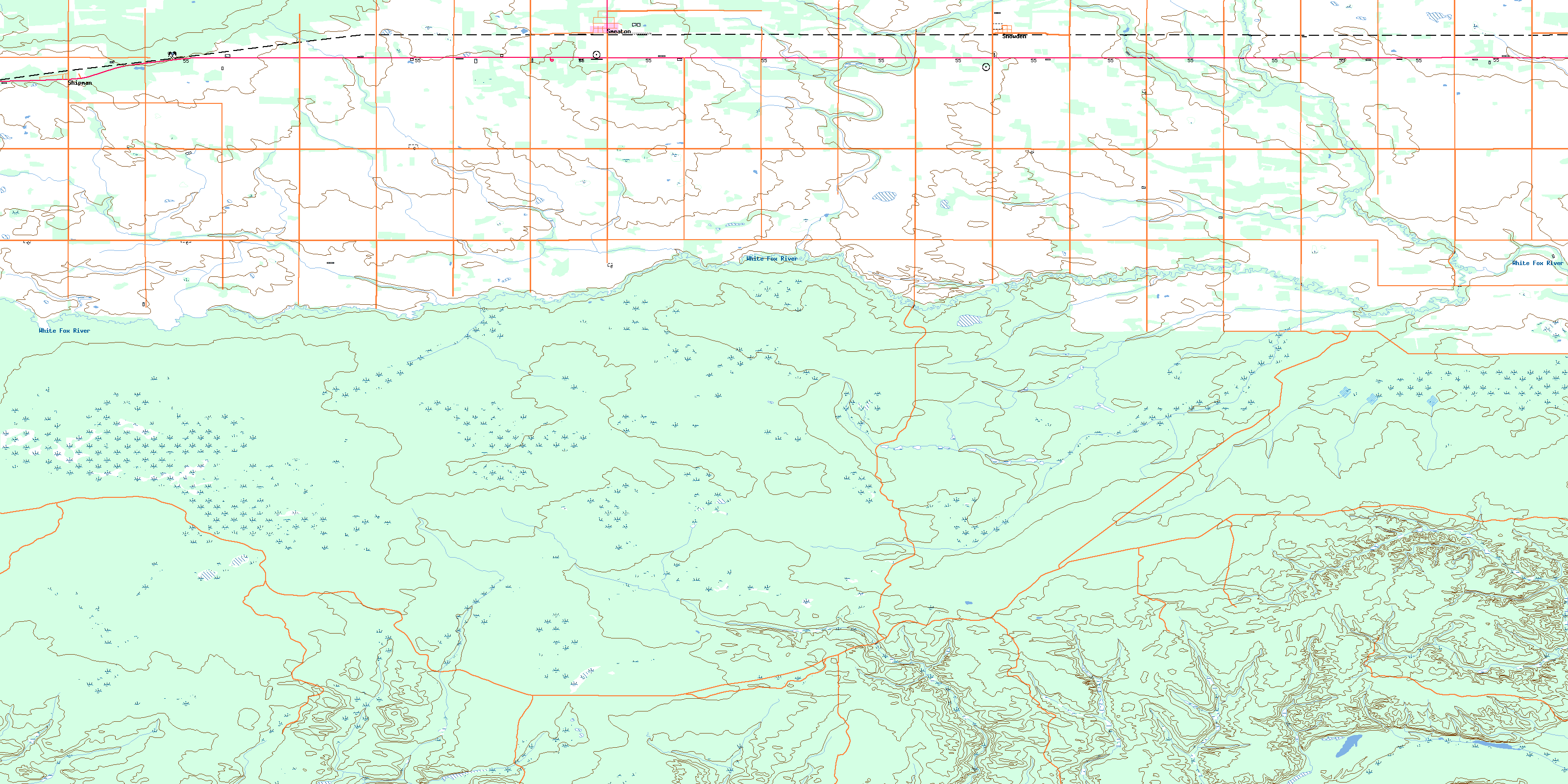
© Department of Natural Resources Canada. All rights reserved.
073H Related Maps:
073H Prince Albert073H01 Ridgedale
073H02 Fairy Glen
073H03 Peonan Lake
073H04 Prince Albert
073H05 Henribourg
073H06 Weirdale
073H07 Smeaton
073H08 Nipawin
073H09 Torch River
073H10 Bedard Creek
073H11 Birchbark Lake
073H12 Emma Lake
073H13 Bittern Lake
073H14 Candle Lake
073H15 White Gull Creek
073H16 Falling Horse Creek
