Prince Albert Topo Map Online
Download Free Topo Map Sheet 073H04 at 1:50,000 scale
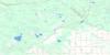
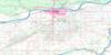
073H04 Prince Albert Topo Map
To view this map, mouse over the map preview on the right.
You can also download this topo map for free:
073H04 Prince Albert high-resolution topo map image.
Maps for the Prince Albert topo map sheet 073H04 at 1:50,000 scale are also available in these versions:
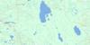
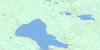
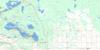
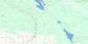
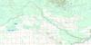
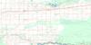
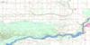
Prince Albert Surrounding Area Topo Maps
 |
 |
 |
 |
 |
 |
 |
 |
 |
 |
 |
 |
 |
 |
 |
 |
© Department of Natural Resources Canada. All rights reserved.
Prince Albert Gazetteer
The following places can be found on topographic map sheet 073H04 Prince Albert:
Prince Albert Topo Map: Capes
Peter Pond PointPrince Albert Topo Map: City
Prince AlbertPrince Albert Topo Map: Indian Reserves
Chief Joseph CusterKistapinan 211
Kistapinanihk 231
Muskoday First Nation
Muskoday Indian Reserve 99
Northern Lights 220
Opawakoscikan
Opawakoscikan Indian Reserve 201
Réserve indienne Muskoday 99
Réserve indienne Opawakoscikan 201
Réserve indienne Wahpaton 94B
Wahpaton Indian Reserve 94B
Wahpeton 94B
Prince Albert Topo Map: Islands
Badger IslandBateman Island
Betts Island
Campbell Island
Cole Island
Crossing Island
Rabbit Island
Sugar Island
Willow Island
Prince Albert Topo Map: Lakes
Coubeaux LakePrince Albert Topo Map: Military areas
Champ de tir Prince AlbertPrince Albert Range
Prince Albert Topo Map: Mountains
Red Deer HillPrince Albert Topo Map: Other municipal/district area - miscellaneous
Birch Hills No. 460Buckland No. 491
Garden River No. 490
Prince Albert No. 461
Prince Albert Topo Map: Conservation areas
Buckland Wildlife Management UnitNisbet Provincial Forest
Nisbet Trails Recreation Site
Sturgeon River Recreation Site
Prince Albert Topo Map: Rivers
Cromarty CreekMcFarlane Creek
North Saskatchewan River
Red Deer Creek
Rivière Saskatchewan Nord
Rivière Saskatchewan Sud
South Saskatchewan River
Spruce River
Sturgeon River
Prince Albert Topo Map: Unincorporated areas
BucklandCecil
Clouston
Cudworth Junction
Davis
Fenton
Halcro
Holmes
Miller's Hill
Paddockwood Junction
Prince Albert Sanatorium
Prince Albert Settlement
Red Deer Hill
Senator
Prince Albert Topo Map: Low vegetation
Campbell Marsh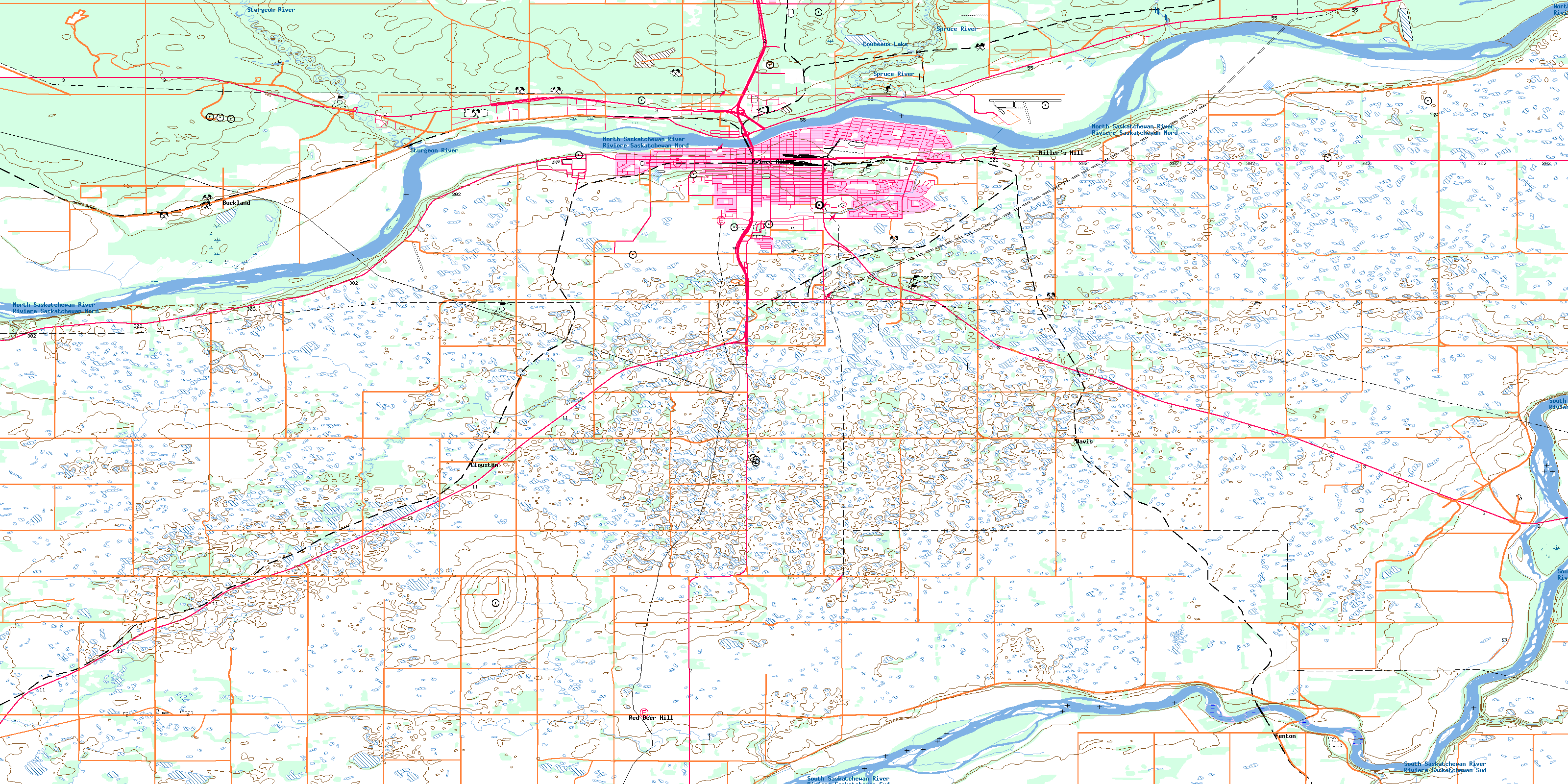
© Department of Natural Resources Canada. All rights reserved.
073H Related Maps:
073H Prince Albert073H01 Ridgedale
073H02 Fairy Glen
073H03 Peonan Lake
073H04 Prince Albert
073H05 Henribourg
073H06 Weirdale
073H07 Smeaton
073H08 Nipawin
073H09 Torch River
073H10 Bedard Creek
073H11 Birchbark Lake
073H12 Emma Lake
073H13 Bittern Lake
073H14 Candle Lake
073H15 White Gull Creek
073H16 Falling Horse Creek
