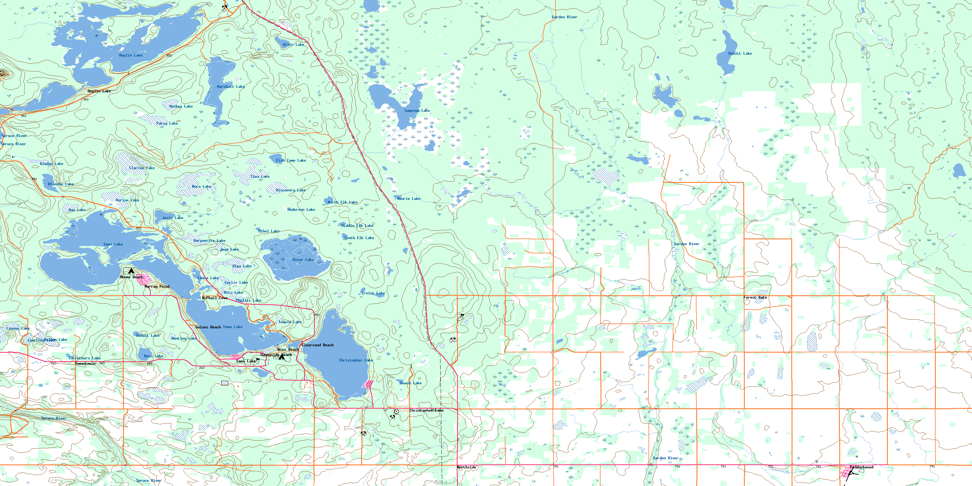
Emma Lake Topo Map Online
Download Free Topo Map Sheet 073H12 at 1:50,000 scale
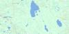
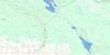
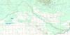
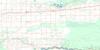
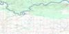
073H12 Emma Lake Topo Map
To view this map, mouse over the map preview on the right.
You can also download this topo map for free:
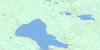
073H12 Emma Lake high-resolution topo map image.
Maps for the Emma Lake topo map sheet 073H12 at 1:50,000 scale are also available in these versions:
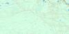
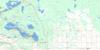
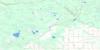
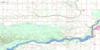
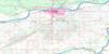
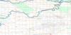
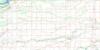
Emma Lake Surrounding Area Topo Maps
 |
 |
 |
 |
 |
 |
 |
 |
 |
 |
 |
 |
 |
 |
 |
 |
© Department of Natural Resources Canada. All rights reserved.
Emma Lake Gazetteer
The following places can be found on topographic map sheet 073H12 Emma Lake:
Emma Lake Topo Map: Bays
Christie BayDoyle Bay
Jacobsen Bay
Munsons Bay
North Bay
Pope Bay
Slottens Bay
Sunset Bay
Emma Lake Topo Map: Capes
Buffalo PointLindner Point
McIntosh Point
Murray Point
Nyberg Point
Spruce Point
Emma Lake Topo Map: Hamlets
NorthsideEmma Lake Topo Map: Indian Reserves
Little Red River 106CEmma Lake Topo Map: Islands
Callaghan IslandCampbell Island
Cattle Island
Fairy Island
Emma Lake Topo Map: Lakes
Anderson LakeAnglin Lake
Bauman Lake
Begon Lake
Blanche Lake
Carruthers Lake
Cecile Lake
Christie Lake
Christopher Lake
Clarine Lake
Courtney Lake
Dewalt Lake
DeWalt Lake
Discovery Lake
Dorine Lake
Emma Lake
Ethel Lake
Fish Camp Lake
Fish Lake
Gladys Lake
Haase Lake
Hiltz Lake
Hourie Lake
Huntley Lake
Irving Lake
Jean Lake
Josie Lake
Last Trap Lake
Laura Lake
Lennox Lake
Mae Lake
Marguerite Lake
Marshall Lake
Middle Elk Lake
Mitz Lake
Muskeg Lake
Nelson Lake
Nora Lake
North Elk Lake
Olga Lake
Oscar Lake
Patsy Lake
Phyllis Lake
Rebitt Lake
Ross Lake
Sampson Lake
South Elk Lake
Temple Lake
Tina Lake
Emma Lake Topo Map: Other municipal/district area - miscellaneous
Lakeland No. 521Paddockwood No. 520
Emma Lake Topo Map: Conservation areas
Anglin Lake Recreation SiteEmma Lake (Murray Point) Recreation Site
Fairy Island Wildlife Refuge
Northern Provincial Forest
Emma Lake Topo Map: Rivers
Bitter CreekChristopher Creek
Garden River
Montreal Creek
Rebitt Creek
Spruce River
Emma Lake Topo Map: Unincorporated areas
Anglin LakeClearsand Beach
Emma Lake
Forest Gate
Guises Beach
McPhail Cove
Murray Point
Nies Beach
Okema Beach
Sunnyside Beach
Tweedsmuir
Emma Lake Topo Map: Villages
Christopher LakePaddockwood
© Department of Natural Resources Canada. All rights reserved.
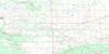
073H Related Maps:
073H Prince Albert073H01 Ridgedale
073H02 Fairy Glen
073H03 Peonan Lake
073H04 Prince Albert
073H05 Henribourg
073H06 Weirdale
073H07 Smeaton
073H08 Nipawin
073H09 Torch River
073H10 Bedard Creek
073H11 Birchbark Lake
073H12 Emma Lake
073H13 Bittern Lake
073H14 Candle Lake
073H15 White Gull Creek
073H16 Falling Horse Creek
