William Point Topo Map Online
Download Free Topo Map Sheet 074N03 at 1:50,000 scale
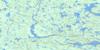
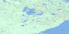
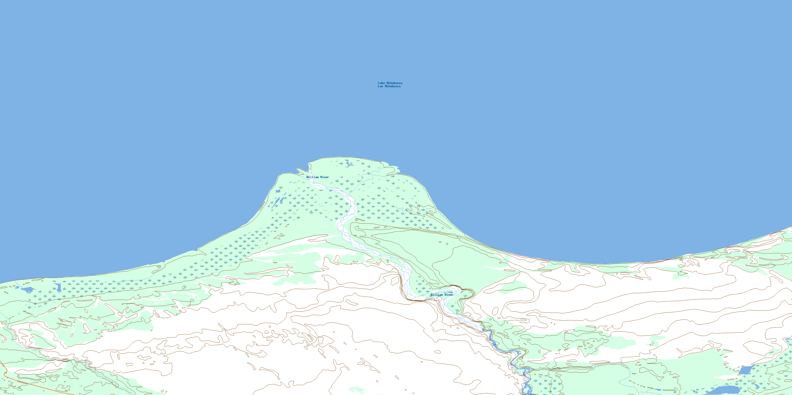
074N03 William Point Topo Map
To view this map, mouse over the map preview on the right.
You can also download this topo map for free:
074N03 William Point high-resolution topo map image.
Maps for the William Point topo map sheet 074N03 at 1:50,000 scale are also available in these versions:
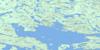
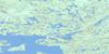
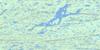
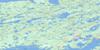
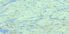
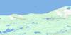
William Point Surrounding Area Topo Maps
 |
 |
 |
 |
 |
 |
 |
 |
 |
 |
 |
|
 |
 |
 |
 |
© Department of Natural Resources Canada. All rights reserved.
William Point Gazetteer
The following places can be found on topographic map sheet 074N03 William Point:
William Point Topo Map: Bays
Sandy BayThomson Bay
William Point Topo Map: Capes
William PointWilliam Point Topo Map: Lakes
Lac AthabascaLake Athabasca
Little Gull Lake
William Point Topo Map: Conservation areas
Athabasca Sand Dunes Provincial ParkWilliam Point Topo Map: Rivers
Ennuyeuse CreekWilliam River
© Department of Natural Resources Canada. All rights reserved.
074N Related Maps:
074N Tazin Lake074N01 Archibald River
074N02 Cantara Bay
074N03 William Point
074N04 Pointe Ennuyeuse
074N05 Maurice Bay
074N07 Crackingstone Peninsula
074N08 Goldfields
074N09 Forget Lake
074N10 Uranium City
074N11 Thluicho Lake
074N12E Harper Lake
074N12W Harper Lake
074N13E Thainka Lake
074N13W Thainka Lake
074N14E Zin Bay
074N14W Zin Bay
074N15 Burchnall Lake
074N16 Ena Lake
