Vauxhall Topo Map Online
Download Free Topo Map Sheet 082I01 at 1:50,000 scale
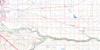
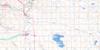
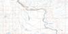
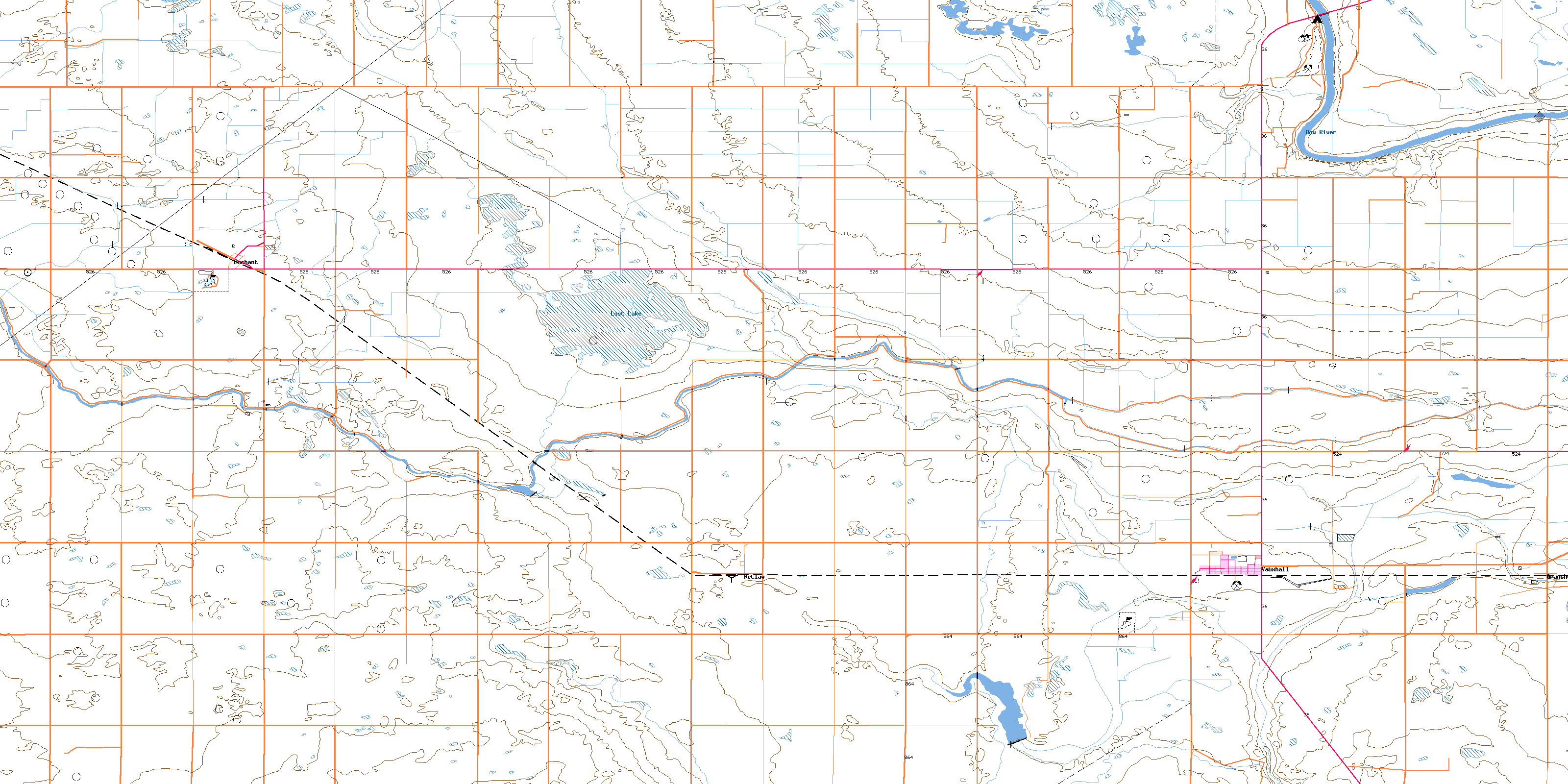
082I01 Vauxhall Topo Map
To view this map, mouse over the map preview on the right.
You can also download this topo map for free:
082I01 Vauxhall high-resolution topo map image.
Maps for the Vauxhall topo map sheet 082I01 at 1:50,000 scale are also available in these versions:
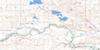
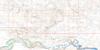
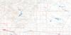
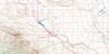
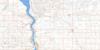
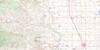
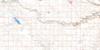
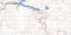
Vauxhall Surrounding Area Topo Maps
 |
 |
 |
 |
 |
 |
 |
 |
 |
 |
 |
 |
 |
 |
 |
 |
© Department of Natural Resources Canada. All rights reserved.
Vauxhall Gazetteer
The following places can be found on topographic map sheet 082I01 Vauxhall:
Vauxhall Topo Map: Lakes
Lost LakeVauxhall Topo Map: Major municipal/district area - major agglomerations
County of Lethbridge No. 26County of Newell No. 4
Municipal District of Taber
Municipal District of Taber No. 14
Vauxhall Topo Map: Rivers
Bow RiverVauxhall Topo Map: Towns
VauxhallVauxhall Topo Map: Unincorporated areas
EnchantGrantham
Retlaw
Vauxhall Topo Map: Valleys
Expanse CouleeExpanse Coulée
© Department of Natural Resources Canada. All rights reserved.
