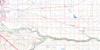
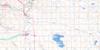
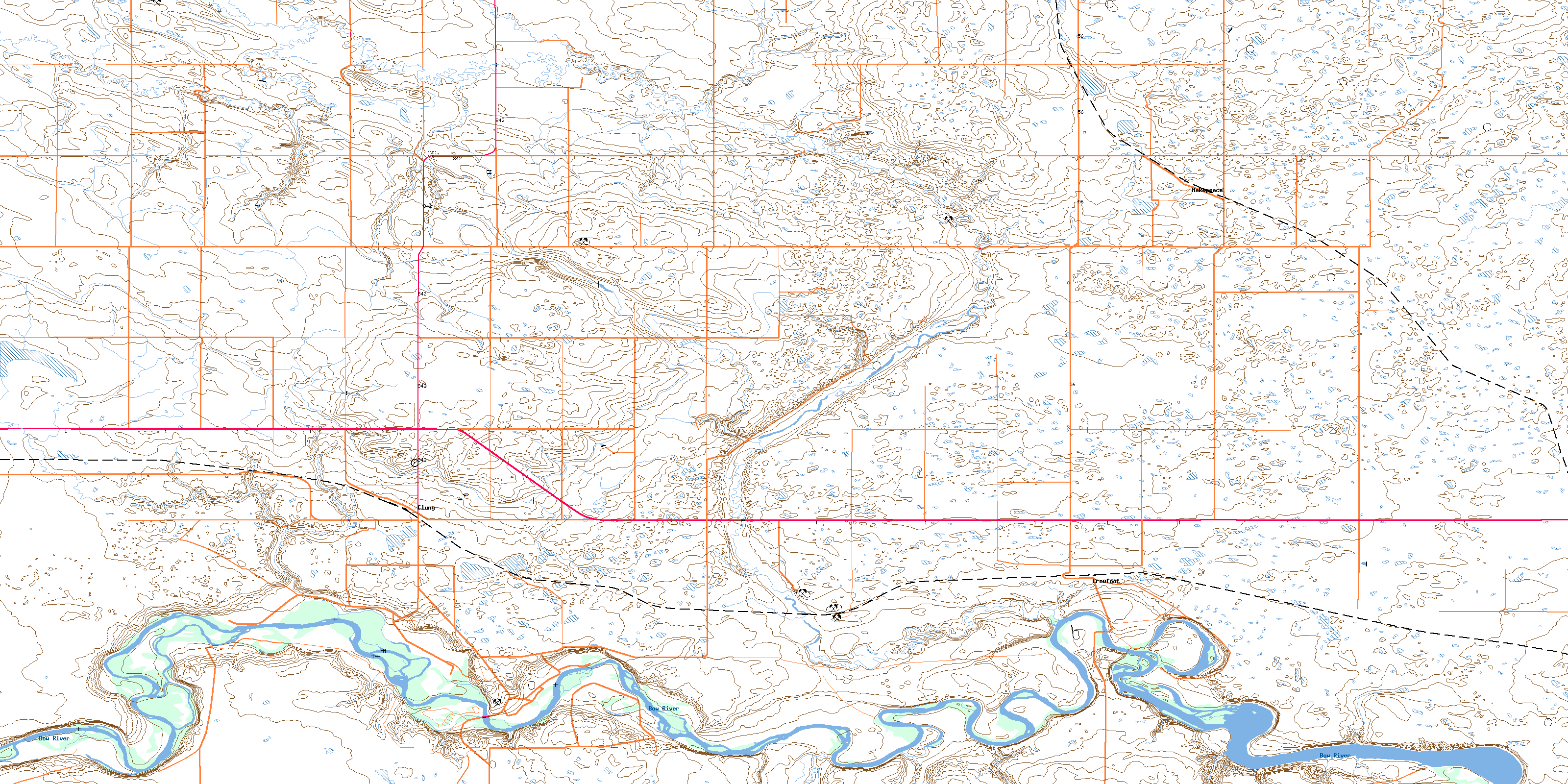
Cluny Topo Map Online
Download Free Topo Map Sheet 082I15 at 1:50,000 scale
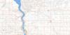
082I15 Cluny Topo Map
To view this map, mouse over the map preview on the right.
You can also download this topo map for free:
082I15 Cluny high-resolution topo map image.
Maps for the Cluny topo map sheet 082I15 at 1:50,000 scale are also available in these versions:
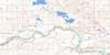
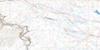
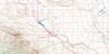
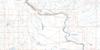
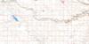
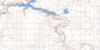
Cluny Surrounding Area Topo Maps
 |
 |
 |
 |
 |
 |
 |
 |
 |
 |
 |
 |
 |
 |
 |
 |
© Department of Natural Resources Canada. All rights reserved.
Cluny Gazetteer
The following places can be found on topographic map sheet 082I15 Cluny:
Cluny Topo Map: Indian Reserves
Blackfoot Indian Reserve 146Réserve indienne Blackfoot 146
Siksika 146
Cluny Topo Map: Major municipal/district area - major agglomerations
County of Newell No. 4County of Vulcan No. 2
Vulcan County
Wheatland County
Cluny Topo Map: Rivers
Bow RiverCrowfoot Creek
Parflesh Creek
Cluny Topo Map: Unincorporated areas
ClunyCrowfoot
Granta
Hants
Makepeace
Phidias
Towers
© Department of Natural Resources Canada. All rights reserved.
