Kananaskis Lakes Topo Map Online
Download Free Topo Map Sheet 082J11 at 1:50,000 scale
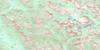
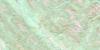
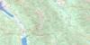
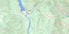
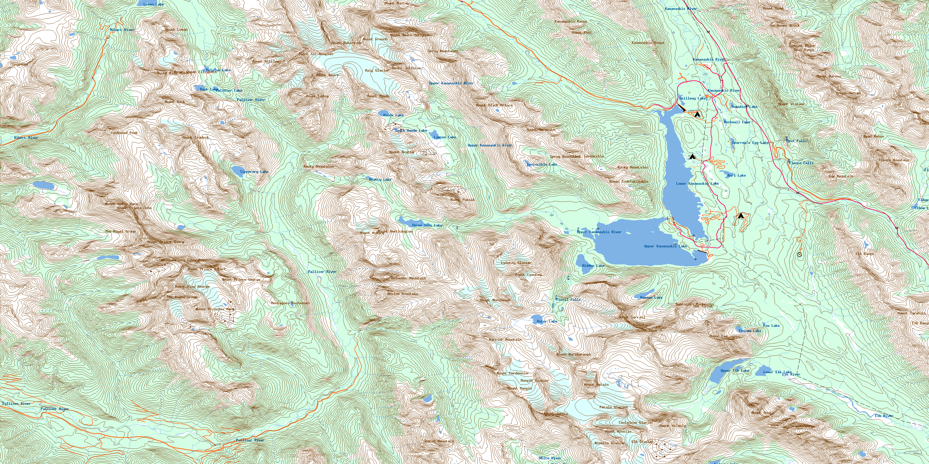
082J11 Kananaskis Lakes Topo Map
To view this map, mouse over the map preview on the right.
You can also download this topo map for free:
082J11 Kananaskis Lakes high-resolution topo map image.
Maps for the Kananaskis Lakes topo map sheet 082J11 at 1:50,000 scale are also available in these versions:
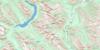
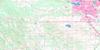
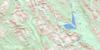
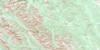
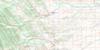
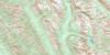
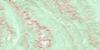
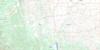
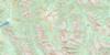
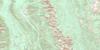
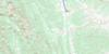
Kananaskis Lakes Surrounding Area Topo Maps
 |
 |
 |
 |
 |
 |
 |
 |
 |
 |
 |
 |
 |
 |
 |
 |
© Department of Natural Resources Canada. All rights reserved.
Kananaskis Lakes Gazetteer
The following places can be found on topographic map sheet 082J11 Kananaskis Lakes:
Kananaskis Lakes Topo Map: Falls
Elpoca FallsFossil Falls
Opal Falls
Warspite Cascade
Kananaskis Lakes Topo Map: Glaciers
Castelnau GlacierElk Glacier
Haig Glacier
Haig Glacier
Lyautey Glacier
Mangin Glacier
Nivelle Glacier
Pétain Glacier
Kananaskis Lakes Topo Map: Islands
Hawke IslandHogue Island
Kananaskis Lakes Topo Map: Lakes
Aster LakeBack Lake
Beatty Lake
Belgium Lake
Cadorna Lake
Elbow Lake
Fox Lake
Frozen Lake
Hidden Lake
Invincible Lake
Lawson Lake
Leman Lake
Lower Elk Lake
Lower Kananaskis Lake
Marl Lake
Maude Lake
Palliser Lake
Rawson Lake
Rockwall Lake
Sounding Lake
South Maude Lake
Sparrow's Egg Lake
Sparrows-Egg Lake
Spillway Lake
Three Isle Lake
Tipperary Lake
Upper Elk Lake
Upper Kananaskis Lake
Kananaskis Lakes Topo Map: Mountains
Cradock RidgeDefender Mountain
Elk Mountains
Elk Range
Elk Range
Elpoca Mountain
Gap Mountain
Kananaskis Range
King Creek Ridge
Lockwood Peak
Montagnes Rocheuses
Montagnes Rocheuses
Mount Aosta
Mount Back
Mount Beatty
Mount Beatty
Mount Black Prince
Mount Blane
Mount Brock
Mount Burney
Mount Castelnau
Mount Cordonnier
Mount Cordonnier
Mount Cradock
Mount Defender
Mount Foch
Mount Foch
Mount Fox
Mount Fox
Mount French
Mount Hood
Mount Indefatigable
Mount Invincible
Mount Jellicoe
Mount Jerram
Mount Joffre
Mount Joffre
Mount Kent
Mount King Albert
Mount King Albert
Mount King George
Mount Leman
Mount Leman
Mount LeRoy
Mount Lyautey
Mount Mangin
Mount Mangin
Mount Marlborough
Mount Maude
Mount Maude
Mount McCuaig
Mount McHarg
Mount McHarg
Mount Monro
Mount Murray
Mount Nivelle
Mount Nomad
Mount Northover
Mount Northover
Mount Onslow
Mount Pétain
Mount Pétain
Mount Prince Albert
Mount Prince Edward
Mount Prince George
Mount Prince Henry
Mount Prince John
Mount Princess Mary
Mount Putnik
Mount Queen Elizabeth
Mount Queen Elizabeth
Mount Queen Mary
Mount Robertson
Mount Robertson
Mount Sarrail
Mount Shatch
Mount Sir Douglas
Mount Sir Douglas
Mount Smith-Dorrien
Mount Tyrwhitt
Mount Tyrwhitt
Mount Warrior
Mount Warrior
Mount Warspite
Mount Williams
Mount Williams
Mount Wintour
Mount Worthington
Mount Worthington
Onslow Mountain
Opal Mountains
Opal Range
Park Ranges
Rocky Mountains
Rocky Mountains
Shatch Mountain
Spray Mountains
The Royal Group
The Turret
Tombstone Mountain
Warrior Mountain
Warrior Mountain
Kananaskis Lakes Topo Map: Major municipal/district area - major agglomerations
Regional District of East KootenayKananaskis Lakes Topo Map: Other municipal/district area - miscellaneous
Improvement District No. 5Kananaskis Improvement District
Kananaskis Lakes Topo Map: Conservation areas
Banff National Park of CanadaElk Lakes Park
Height of the Rockies Park
Kananaskis Provincial Park
Parc national du Canada Banff
Peter Lougheed Provincial Park
Kananaskis Lakes Topo Map: Rivers
Albert RiverAster Creek
Beatty Creek
Blackshale Creek
Boulton Creek
Cadorna Creek
Elbow River
Elk River
Elkan Creek
Elpoca Creek
Foch Creek
Fox Creek
French Creek
Fynn Creek
Gypsum Creek
Hood Creek
James Walker Creek
Joffre Creek
Kananaskis River
Kent Creek
King Creek
LeRoy Creek
Maude Brook
Murray Creek
Nivelle Creek
Opal Creek
Palliser River
Pétain Creek
Piper Creek
Pocaterra Creek
Queen Mary Creek
Rawson Creek
Ripple Rock Creek
Sarrail Creek
Smith-Dorrien Creek
Spotted Wolf Creek
Three Isle Creek
Tipperary Creek
Tobermory Creek
Upper Kananaskis River
Warspite Creek
White River
Kananaskis Lakes Topo Map: Valleys
East Elk PassEast Elk Pass
East Passage
Elbow Pass
Elk Pass
Elk Pass
Little Highwood Pass
North Kananaskis Pass
North Kananaskis Pass
Palliser Pass
Palliser Pass
South Kananaskis Pass
South Kananaskis Pass
Spray Pass
Spray Pass
Sylvan Pass
Turbine Canyon
West Elk Pass
West Elk Pass
West Passage
West Passage
Kananaskis Lakes Topo Map: Low vegetation
Elkwoods FenRockwall Fen
© Department of Natural Resources Canada. All rights reserved.
082J Related Maps:
082J Kananaskis Lakes082J01 Langford Creek
082J02 Fording River
082J03 Mount Peck
082J04 Canal Flats
082J05 Fairmont Hot Springs
082J06 Mount Abruzzi
082J07 Mount Head
082J08 Stimson Creek
082J09 Turner Valley
082J10 Mount Rae
082J11 Kananaskis Lakes
082J12 Tangle Peak
082J13 Mount Assiniboine
082J14 Spray Lakes Reservoir
082J15 Bragg Creek
082J16 Priddis
