Mount Head Topo Map Online
Download Free Topo Map Sheet 082J07 at 1:50,000 scale
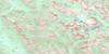
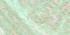
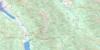
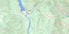
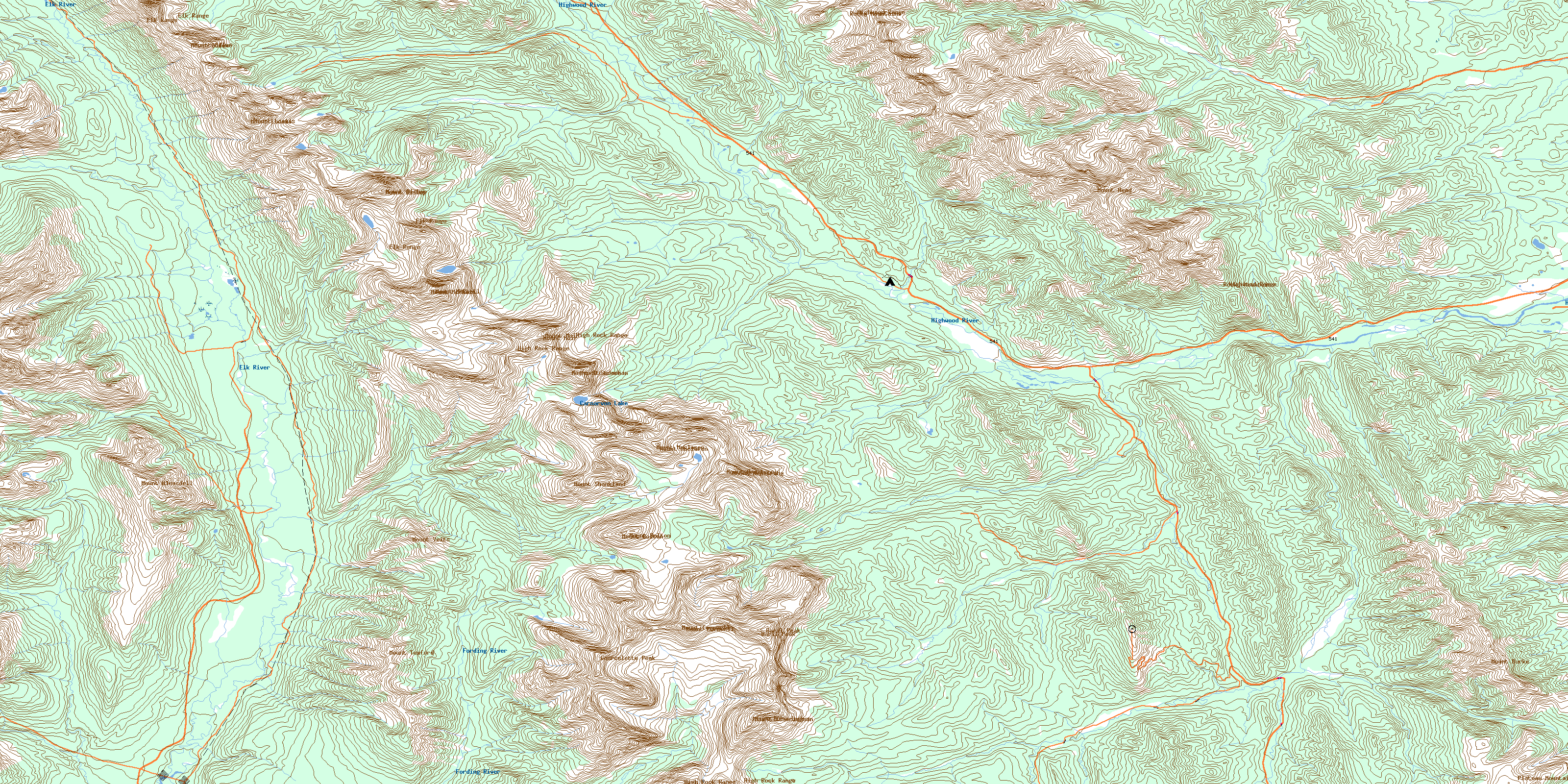
082J07 Mount Head Topo Map
To view this map, mouse over the map preview on the right.
You can also download this topo map for free:
082J07 Mount Head high-resolution topo map image.
Maps for the Mount Head topo map sheet 082J07 at 1:50,000 scale are also available in these versions:
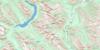
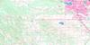
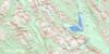
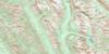
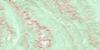
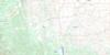
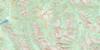
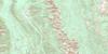
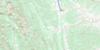
Mount Head Surrounding Area Topo Maps
 |
 |
 |
 |
 |
 |
 |
 |
 |
 |
 |
 |
 |
 |
 |
 |
© Department of Natural Resources Canada. All rights reserved.
Mount Head Gazetteer
The following places can be found on topographic map sheet 082J07 Mount Head:
Mount Head Topo Map: Lakes
Carnarvon LakeLake of the Horns
Loomis Lake
Mount Head Topo Map: Mountains
Abby RidgeBaril Peak
Baril Peak
Bull Creek Hills
Courcelette Peak
Elk Mountains
Elk Range
Elk Range
Gill Peak
High Rock Range
High Rock Range
Highwood Range
Holy Cross Mountain
Montagnes Rocheuses
Montagnes Rocheuses
Mosquito Hill
Mount Abruzzi
Mount Armstrong
Mount Armstrong
Mount Bishop
Mount Bishop
Mount Bleasdell
Mount Bolton
Mount Bolton
Mount Burke
Mount Cornwell
Mount Cornwell
Mount Currie
Mount Etherington
Mount Etherington
Mount Head
Mount Jellicoe
Mount Leval
Mount Loomis
Mount Loomis
Mount Lyautey
Mount Maclaren
Mount Maclaren
Mount McLaren
Mount McPhail
Mount McPhail
Mount Muir
Mount Muir
Mount Odlum
Mount Odlum
Mount Shankland
Mount Strachan
Mount Strachan
Mount Tuxford
Mount Veits
Patterson's Peak
Plateau Mountain
Rocky Mountain Foothills
Rocky Mountains
Rocky Mountains
Weary Ridge
Mount Head Topo Map: Major municipal/district area - major agglomerations
Municipal District of Foothills No. 31Regional District of East Kootenay
Mount Head Topo Map: Other municipal/district area - miscellaneous
Improvement District No. 5Improvement District of Ranchland No. 6
Kananaskis Improvement District
Mount Head Topo Map: Plains
Mosquito FlatsMount Head Topo Map: Provinces
AlbertaMount Head Topo Map: Rivers
Aldridge CreekBaril Creek
Bear Creek
Bishop Creek
Blaylock Creek
Bleasdell Creek
Britt Creek
Bull Creek
Cadorna Creek
Carnarvon Creek
Cat Creek
Cataract Creek
Cataract River
Cultus Creek
Cummings Creek
Cutthroat Creek
Deep Creek
Devitt Creek
Elk River
Etherington Creek
Fir Creek
Fitzsimmons Creek
Flat Creek
Fording River
Forsyth Creek
Gardner Creek
Greenfeed Creek
Head Creek
Henretta Creek
Highwood River
Lantern Creek
Leonard Creek
Loomis Creek
Lost Creek
Marston Creek
McPhail Creek
Miller Creek
Miller Creek
Muir Creek
Odlum Creek
Osborne Creek
Plateau Creek
Quarrie Creek
Salt Creek
Salter Creek
South Sullivan Creek
Stony Creek
Strawberry Creek
Trap Creek
Weary Creek
Wileman Creek
Wilkinson Creek
Zephyr Creek
Mount Head Topo Map: Valleys
Fording PassFording River Pass
Grass Pass
Pack Trail Coulee
Weary Creek Gap
Weary Creek Gap
© Department of Natural Resources Canada. All rights reserved.
082J Related Maps:
082J Kananaskis Lakes082J01 Langford Creek
082J02 Fording River
082J03 Mount Peck
082J04 Canal Flats
082J05 Fairmont Hot Springs
082J06 Mount Abruzzi
082J07 Mount Head
082J08 Stimson Creek
082J09 Turner Valley
082J10 Mount Rae
082J11 Kananaskis Lakes
082J12 Tangle Peak
082J13 Mount Assiniboine
082J14 Spray Lakes Reservoir
082J15 Bragg Creek
082J16 Priddis
