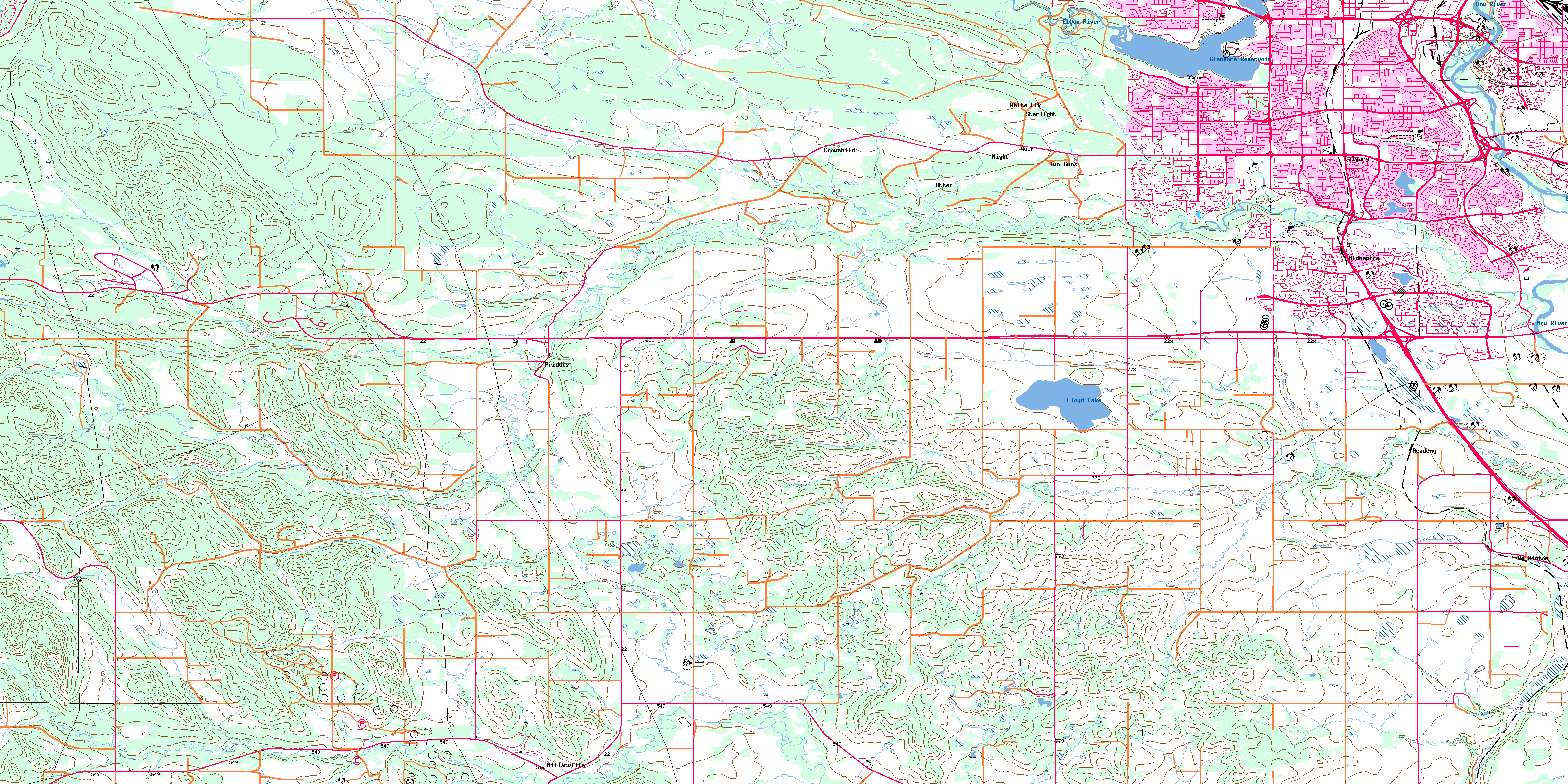
Priddis Topo Map Online
Download Free Topo Map Sheet 082J16 at 1:50,000 scale
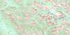
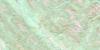
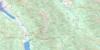
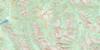
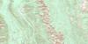
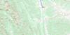
082J16 Priddis Topo Map
To view this map, mouse over the map preview on the right.
You can also download this topo map for free:
082J16 Priddis high-resolution topo map image.
Maps for the Priddis topo map sheet 082J16 at 1:50,000 scale are also available in these versions:
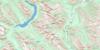
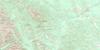
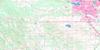
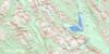
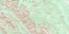
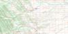
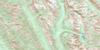
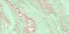
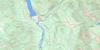
Priddis Surrounding Area Topo Maps
 |
 |
 |
 |
 |
 |
 |
 |
 |
 |
 |
 |
 |
 |
 |
 |
© Department of Natural Resources Canada. All rights reserved.
Priddis Gazetteer
The following places can be found on topographic map sheet 082J16 Priddis:
Priddis Topo Map: City
CalgaryPriddis Topo Map: Indian Reserves
Réserve indienne Sarcee 145Sarcee Indian Reserve 145
Tsuu T'ina Nation 145
Priddis Topo Map: Lakes
Glenmore ReservoirLloyd Lake
Priddis Topo Map: Mountains
Bonn HillBullhead Hill
Cemetery Hill
High Butte
Rocky Mountain Foothills
Priddis Topo Map: Major municipal/district area - major agglomerations
Municipal District of Foothills No. 31Municipal District of Rocky View No. 44
Rocky View County
Priddis Topo Map: Conservation areas
Brown-Lowery Provincial ParkFish Creek Provincial Park
Shaw Woolen Mill Provincial Historic Site (Undeveloped)
Priddis Topo Map: Plains
Stone PlainPriddis Topo Map: Rivers
Bow RiverElbow River
Fish Creek
Fisher Creek
Lott Creek
Mesa Creek
Millburn Creek
Pine Creek
Pothole Creek
Priddis Creek
Threepoint Creek
Whiskey Creek
Priddis Topo Map: Unincorporated areas
AcademyAcadia
Bayview
Bel-Aire
Bonavista Downs
Braeside
Bridlewood
Canyon Meadows
Cedarbrae
Chaparral
Chinook Park
Crowchild
De Winton
Deer Ridge
Deer Run
Diamond Cove
Douglas Glen
Douglasdale Estates
Eagle Ridge
Evergreen Estates
Fairview
Haysboro
Kelvin Grove
Kingsland
Lake Bonavista
Lakeview
MacKenzie Lake
Manchester
Maple Ridge
Mayfair
Meadowland Park
Midnapore
Midnapore
Millarville
Millrise
Muirhead
Night
North Glenmore Park
Oakridge
Ogden
Ogden
Otter
Palliser
Parkland
Priddis
Pump Hill
Queensland
Riverbend
Sandstone
Shawnee Slopes
Shawnessy
Somerset
Southwood
Starlight
Sundance
Turner
Two Guns
White Elk
Willow Park
Wolf
Woodbine
Woodlands
Priddis Topo Map: Valleys
Shannon CouleeSix Mile Coulee
Wilson Coulee
© Department of Natural Resources Canada. All rights reserved.
082J Related Maps:
082J Kananaskis Lakes082J01 Langford Creek
082J02 Fording River
082J03 Mount Peck
082J04 Canal Flats
082J05 Fairmont Hot Springs
082J06 Mount Abruzzi
082J07 Mount Head
082J08 Stimson Creek
082J09 Turner Valley
082J10 Mount Rae
082J11 Kananaskis Lakes
082J12 Tangle Peak
082J13 Mount Assiniboine
082J14 Spray Lakes Reservoir
082J15 Bragg Creek
082J16 Priddis
