Radium Hot Springs Topo Map Online
Download Free Topo Map Sheet 082K09 at 1:50,000 scale
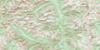
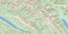
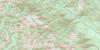
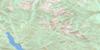
082K09 Radium Hot Springs Topo Map
To view this map, mouse over the map preview on the right.
You can also download this topo map for free:
082K09 Radium Hot Springs high-resolution topo map image.
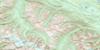
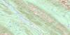
Maps for the Radium Hot Springs topo map sheet 082K09 at 1:50,000 scale are also available in these versions:
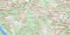
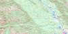
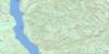
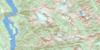
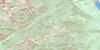
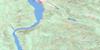
Radium Hot Springs Surrounding Area Topo Maps
 |
 |
 |
 |
 |
 |
 |
 |
 |
 |
 |
 |
 |
 |
 |
 |
© Department of Natural Resources Canada. All rights reserved.
Radium Hot Springs Gazetteer
The following places can be found on topographic map sheet 082K09 Radium Hot Springs:
Radium Hot Springs Topo Map: District municipality
InvermereRadium Hot Springs Topo Map: Glaciers
Shannon GlacierRadium Hot Springs Topo Map: Indian Reserves
Réserve indienne ShuswapShuswap Indian Reserve
Radium Hot Springs Topo Map: Lakes
Baptiste LakeBarbour Lake
Dogsleg Lake
Eire Lake
Hall Lakes
Irish Lake
Lake Eileen
Lake Enid
Lillian Lake
Long Lake
Lower Halgrave Lake
Northcote Lake
Steamboat Lake
Tara Lake
Upper Halgrave Lake
Wilmer Lake
Windermere Lake
Radium Hot Springs Topo Map: Mountains
Antrim PeakBanshee Tower
Brisco Range
Columbia Mountains
Connemara Peak
Donard Peak
Donegal Peak
Dublin Spire
Farnham Ridge
Irish Peaks
Killarney Peak
Koala Peak
Kootenay Ranges
Leitrim Peak
Medenagan Mountain
Meden-Agan Mountain
Mount Berland
Mount Bruce
Mount Cuchulainn
Mount Forster
Mount Johnston
Mount Kindersley
Mount Law
Mount Sally Serena
Mount Scarlett O'Hara
Parker Peak
Purcell Mountains
Redstreak Mountain
Serrate Mountain
Stanford Range
Starbird Ridge
Steamboat Mountain
Radium Hot Springs Topo Map: Conservation areas
Athalmer Beach ParkDry Gulch Park
James Chabot Park
Kootenae House National Historic Site of Canada
Kootenay National Park of Canada
Lieu historique national du Canada Kootenae House
Parc national du Canada Kootenay
Radium Hot Springs Topo Map: Rivers
Akenside CreekAndreen Creek
Bruce Creek
Castor Creek
Columbia River
Dry Gulch Creek
Fan Creek
Fleuve Columbia
Forster Creek
Frances Creek
Geddes Creek
Gopher Creek
Gulch Creek
Haultain Creek
Horsethief Creek
Hurst Creek
Irish Creek
Isaac Creek
John McKay Creek
Kindersley Creek
Law Creek
Luxor Creek
Macaulay Creek
McDonald Creek
Meadow Creek
Neave Creek
North Hurst Creek
Ogelston Creek
Palmer Creek
Red Line Creek
Serena Creek
Shuswap Creek
Sinclair Creek
Stockdale Creek
Stoddart Creek
Toby Creek
Welsh Creek
Wilmer Creek
Radium Hot Springs Topo Map: Springs
Radium Hot SpringsRadium Hot Springs Topo Map: Unincorporated areas
AthalmerDry Gulch
Edgewater
Lake Windermere
Radium
Radium Junction
Shuswap
Wilmer
Windermere
Radium Hot Springs Topo Map: Valleys
Rocky Mountain TrenchSinclair Canyon
Radium Hot Springs Topo Map: Villages
Radium Hot Springs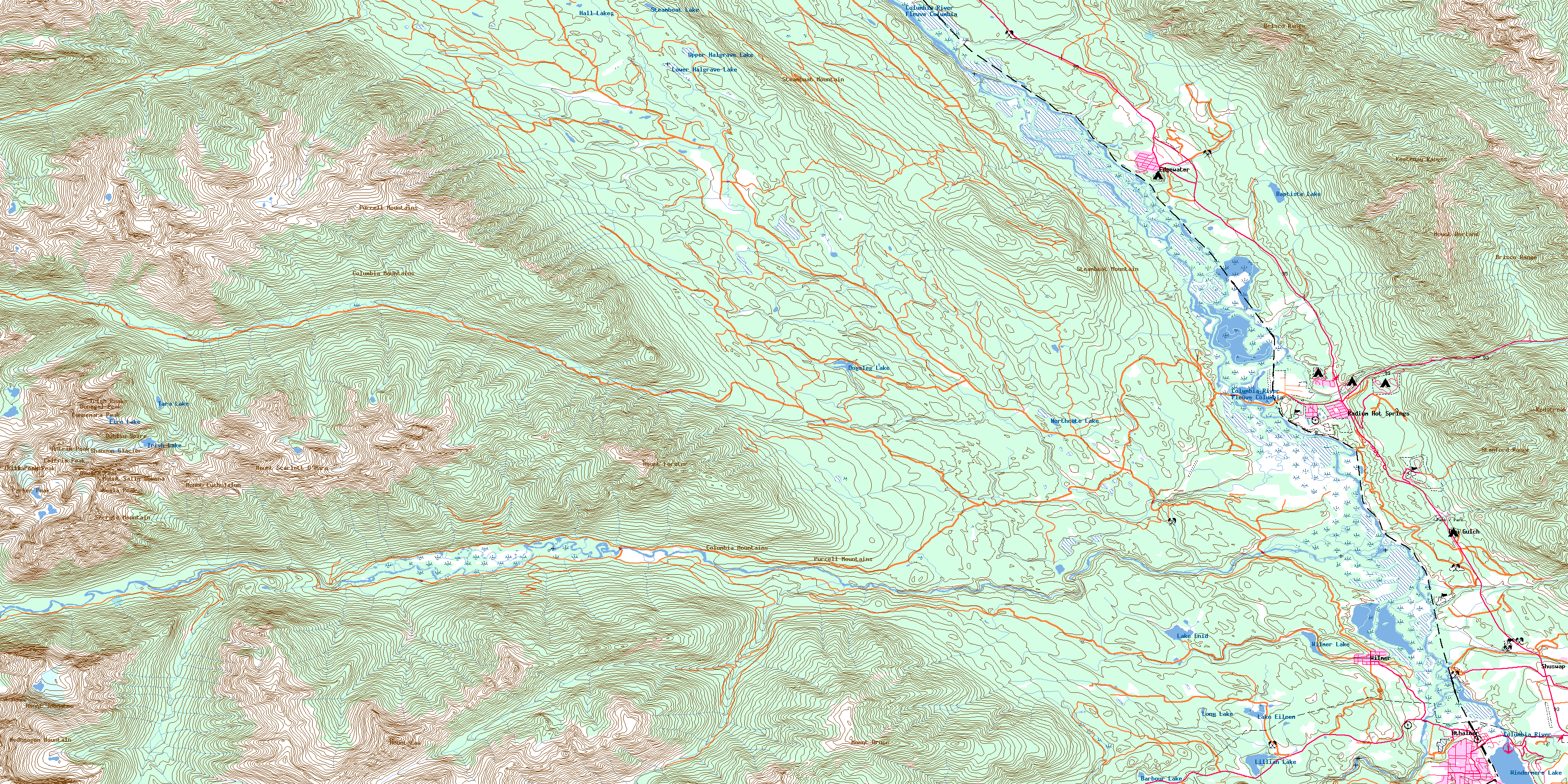
© Department of Natural Resources Canada. All rights reserved.
082K Related Maps:
082K Lardeau082K01 Findlay Creek
082K02 Lardeau
082K03 Rosebery
082K04 Nakusp
082K05 St Leon Creek
082K06 Poplar Creek
082K07 Duncan Lake
082K08 Toby Creek
082K09 Radium Hot Springs
082K10 Howser Creek
082K11 Trout Lake
082K12 Beaton
082K13 Camborne
082K14 Westfall River
082K15 Bugaboo Creek
082K16 Spillimacheen
