Beaton Topo Map Online
Download Free Topo Map Sheet 082K12 at 1:50,000 scale
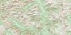
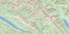
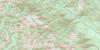
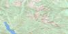
082K12 Beaton Topo Map
To view this map, mouse over the map preview on the right.
You can also download this topo map for free:
082K12 Beaton high-resolution topo map image.
Maps for the Beaton topo map sheet 082K12 at 1:50,000 scale are also available in these versions:
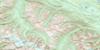
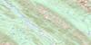
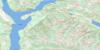
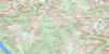
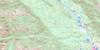
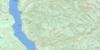
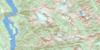
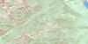
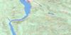
Beaton Surrounding Area Topo Maps
 |
 |
 |
 |
 |
 |
 |
 |
 |
 |
 |
 |
 |
 |
 |
 |
© Department of Natural Resources Canada. All rights reserved.
Beaton Gazetteer
The following places can be found on topographic map sheet 082K12 Beaton:
Beaton Topo Map: Bays
Beaton ArmBlind Bay
Galena Bay
Northeast Arm
Northeast Arm of Upper Arrow Lake
Northwest Arm
Shelter Bay
Beaton Topo Map: Capes
Albert PointBannock Point
Blondin Point
Christie Point
Dickinson Point
Storm Point
Whiskey Point
Whisky Point
Beaton Topo Map: Falls
Captain Soules FallsGunterman Falls
Beaton Topo Map: Islands
Cottonwood IslandsBeaton Topo Map: Lakes
Armstrong LakeStaubert Lake
Trout Lake
Trout Lake
Upper Arrow Lake
Beaton Topo Map: Mountains
Badshot RangeBlue Ridge
Columbia Mountains
Duncan Ranges
Gold Range
Great Northern Mountain
Halcyon Mountain
Lardeau Range
McPherson Hill
Monashee Mountains
Mount Murray
Mount Thompson
Selkirk Mountains
Slocan Ranges
Trout Mountain
Beaton Topo Map: Major municipal/district area - major agglomerations
Columbia-Shuswap Regional DistrictRegional District of Central Kootenay
Beaton Topo Map: Rivers
Adams CreekAlpha Creek
Armstrong Creek
Asher Creek
Bannock Creek
Batys Creek
Beaton Creek
Columbia River
Cranberry Creek
Dupont Creek
Fullmer Creek
Glenn Creek
Hadow Creek
Halfway Creek
Halfway River
Henrys Creek
Hill Creek
Humphries Creek
Hyham Creek
Incomappleux River
Jenning Creek
Johnson Creek
Lardeau Creek
Little Fish Creek
Mackenzie Creek
Marlow Creek
Mohawk Creek
Mountain Goat Creek
Nacillewaet Creek
Payne Creek
Pearson Creek
Pingston Creek
Pollman Creek
Reid Creek
Thompson Creek
Wallis Creek
Wilkie Creek
Beaton Topo Map: Springs
Halcyon Hot SpringsHalcyon Hotsprings
Beaton Topo Map: Unincorporated areas
ArrowheadBeaton
Ferguson
Galena
Galena Bay
Halcyon Hot Springs
Halls Landing
Shelter Bay
Sidmouth
Sidmouth
Trout Lake
Beaton Topo Map: Valleys
Galena Pass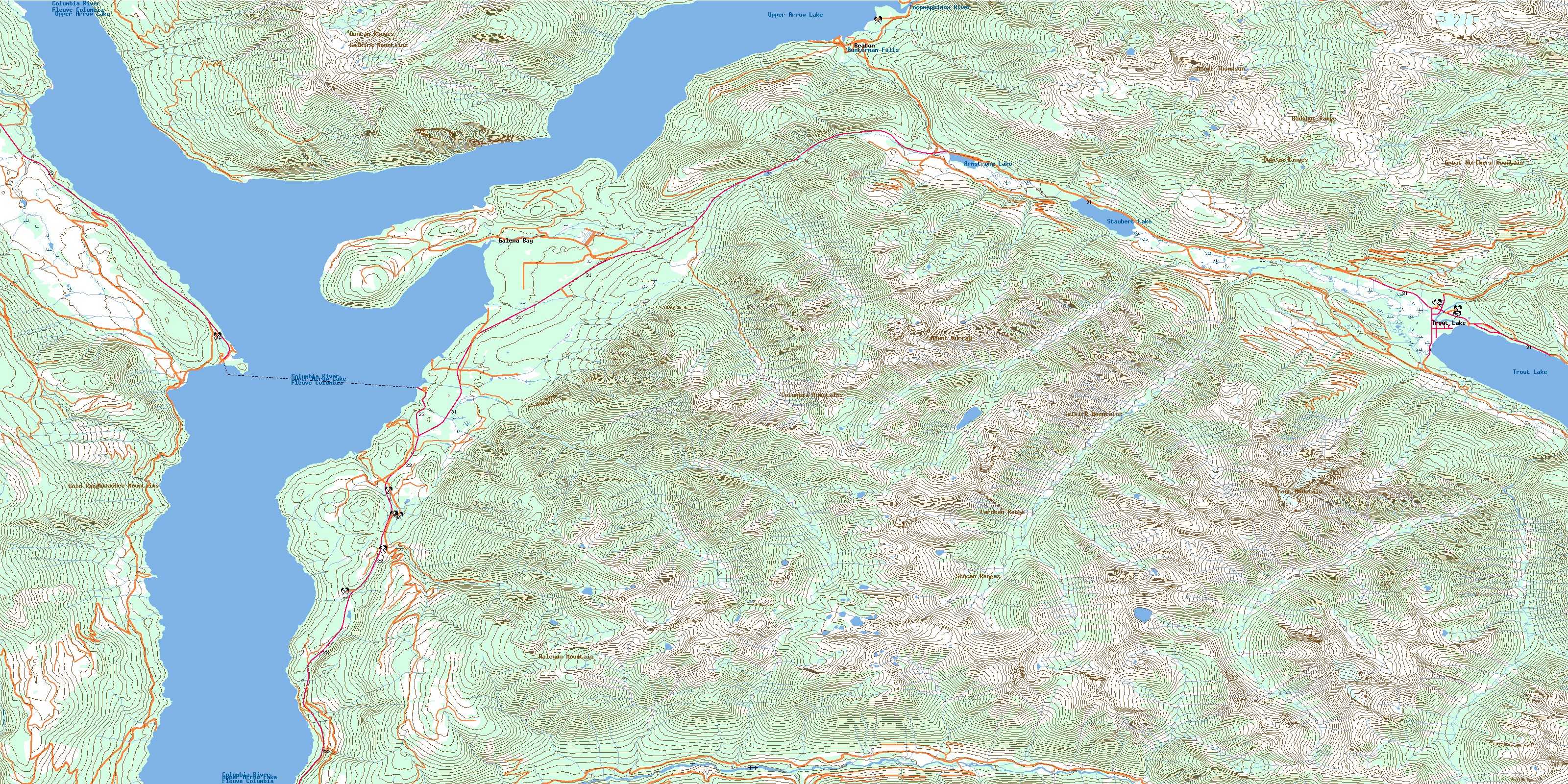
© Department of Natural Resources Canada. All rights reserved.
082K Related Maps:
082K Lardeau082K01 Findlay Creek
082K02 Lardeau
082K03 Rosebery
082K04 Nakusp
082K05 St Leon Creek
082K06 Poplar Creek
082K07 Duncan Lake
082K08 Toby Creek
082K09 Radium Hot Springs
082K10 Howser Creek
082K11 Trout Lake
082K12 Beaton
082K13 Camborne
082K14 Westfall River
082K15 Bugaboo Creek
082K16 Spillimacheen
