Little Nitinat River Topo Map Online
Download Free Topo Map Sheet 092C15 at 1:50,000 scale
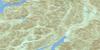
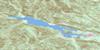
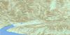
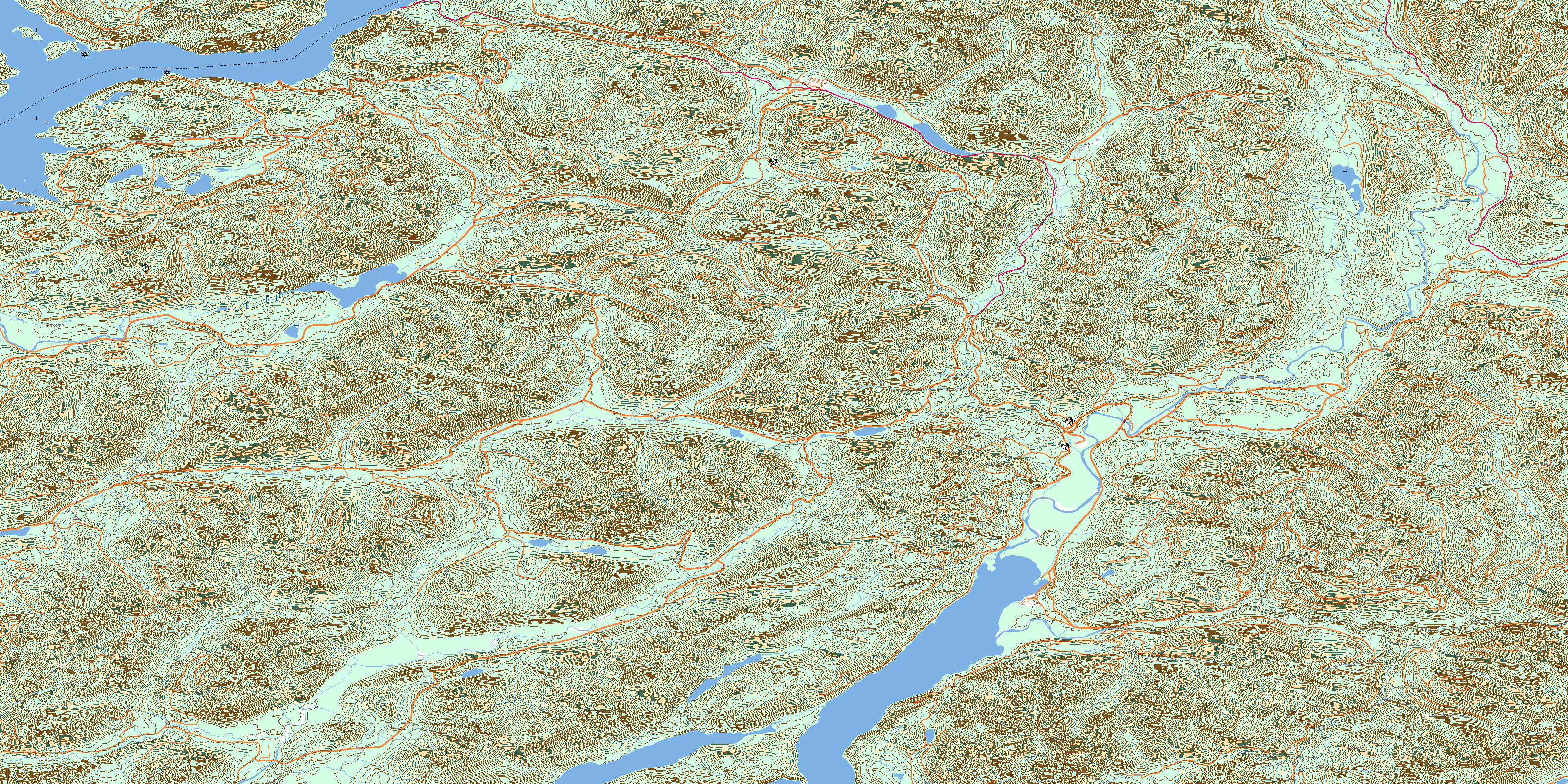
092C15 Little Nitinat River Topo Map
To view this map, mouse over the map preview on the right.
You can also download this topo map for free:
092C15 Little Nitinat River high-resolution topo map image.
Maps for the Little Nitinat River topo map sheet 092C15 at 1:50,000 scale are also available in these versions:
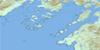
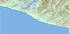
Little Nitinat River Surrounding Area Topo Maps
 |
 |
 |
 |
 |
 |
 |
|
 |
|||
© Department of Natural Resources Canada. All rights reserved.
Little Nitinat River Gazetteer
The following places can be found on topographic map sheet 092C15 Little Nitinat River:
Little Nitinat River Topo Map: Bays
Alberni InletElhlateese Cove
Green Cove
Limestone Bay
Port Alberni
Port Alberni Harbour
Ritherdon Bay
San Mateo Bay
Uchucklesit Inlet
Little Nitinat River Topo Map: Capes
Blackstone PointBrooksby Point
Burrough Point
Hissin Point
Knob Point
Pocahontas Point
Star Point
Strawberry Point
Little Nitinat River Topo Map: Channels
Chaputs PassageSeekah Passage
Ship Passage
Little Nitinat River Topo Map: Falls
Nitinat FallsSarita Falls
Little Nitinat River Topo Map: Geographical areas
Barclay Land DistrictLittle Nitinat River Topo Map: Indian Reserves
Chuchummisapo Indian Reserve 15Cowishil Indian Reserve 1
Homitan Indian Reserve 8
Ilclo Indian Reserve 12
Malachan Indian Reserve 11
Numukamis Indian Reserve 1
Opatseeah Indian Reserve 13
Réserve indienne Chuchummisapo 15
Réserve indienne Cowishil 1
Réserve indienne Homitan 8
Réserve indienne Ilclo 12
Réserve indienne Malachan 11
Réserve indienne Opatseeah 13
Réserve indienne Saouk 16
Réserve indienne Wokitsas 14
Saouk Indian Reserve 16
Wokitsas Indian Reserve 14
Little Nitinat River Topo Map: Islands
Banton IslandCheeyah Island
Île de Vancouver
Limestone Islet
Vancouver Island
Little Nitinat River Topo Map: Lakes
Bewlay LakeConsinka Lake
Darlington Lake
Flora Lake
Francis Lake
Hitchie Lake
Hobiton Lake
May Lake
McClure Lake
Nitinat Lake
Rosseau Lake
Sarita Lake
Tuck Lake
Little Nitinat River Topo Map: Mountains
Hobiton RidgeMount Blenheim
Mount Grey
Mount Rosander
Pelham Mountains
Pelham Range
Poett Heights
Somerset Range
Vancouver Island Mountains
Vancouver Island Ranges
Little Nitinat River Topo Map: Major municipal/district area - major agglomerations
Cowichan Valley Regional DistrictRegional District of Alberni-Clayoquot
Little Nitinat River Topo Map: Conservation areas
Hitchie Creek ParkLittle Nitinat River Topo Map: Rivers
Campus CreekCarnation Creek
Caycuse River
Coleman Creek
Consinka Creek
East Klanawa River
Four Mile Creek
Granite Creek
Handy Creek
Hatton Creek
Hitchie Creek
Hobiton Creek
Jasper Creek
Klanawa River
Little Nitinat River
May Creek
Nitinat River
Parker Creek
Parsons Creek
Raymond Creek
Redbed Creek
Rift Creek
Ritherdon Creek
Sarita River
Seven Mile Creek
South Sarita River
Spencer Creek
Vernon Creek
Wilson Creek
Worthless Creek
Little Nitinat River Topo Map: Shoals
Chris RockLittle Nitinat River Topo Map: Unincorporated areas
Franklin CampGreen Cove
San Mateo
© Department of Natural Resources Canada. All rights reserved.
