Mahood Lake Topo Map Online
Download Free Topo Map Sheet 092P16 at 1:50,000 scale
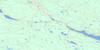
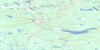
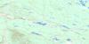
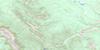
092P16 Mahood Lake Topo Map
To view this map, mouse over the map preview on the right.
You can also download this topo map for free:
092P16 Mahood Lake high-resolution topo map image.
Maps for the Mahood Lake topo map sheet 092P16 at 1:50,000 scale are also available in these versions:
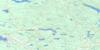
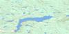
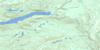
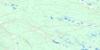
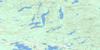
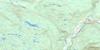
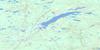
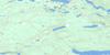
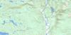
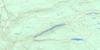
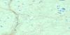
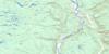
Mahood Lake Surrounding Area Topo Maps
 |
 |
 |
 |
 |
 |
 |
 |
 |
 |
 |
 |
 |
 |
 |
 |
© Department of Natural Resources Canada. All rights reserved.
Mahood Lake Gazetteer
The following places can be found on topographic map sheet 092P16 Mahood Lake:
Mahood Lake Topo Map: Falls
Dawson FallsDeception Falls
Goodwin Falls
Helmcken Falls
McDiarmid Falls
Moul Falls
Sylvia Falls
Mahood Lake Topo Map: Lakes
Constance LakeCorsica Lake
Cougar Lake
Efdee Lake
Ejas Lake
Foot Lake
Italia Lake
Johnston Lake
Jonah Lake
Mahood Lake
Maury Lake
Moira Lake
Patricia Lake
Pendleton Lakes
Placid Lake
Sicily Lake
Sock Lake
Mahood Lake Topo Map: Mountains
Green MountainGreen Mountains
Lizard Head Mountain
Mount Mahood
Pyramid Mountain
Quesnel Highland
Shuswap Highland
Swayback Ridge
White Horse Bluff
Mahood Lake Topo Map: Major municipal/district area - major agglomerations
Cariboo Regional DistrictMahood Lake Topo Map: Conservation areas
Wellesley Gray Recreation AreaWells Gray Park
Wells Gray Recreation Area
Mahood Lake Topo Map: Plains
Fraser PlateauInterior Plateau
Mahood Lake Topo Map: Rapids
Batholith RapidsSabre Tooth Rapids
The Mushbowl
Mahood Lake Topo Map: Rivers
Aqua CreekBattle Creek
Blackwater Creek
Byrd Creek
Canimred Creek
Case Creek
Clearwater River
Clover Creek
Deception Creek
Duncan Creek
Fage Creek
First Canyon Creek
Flourmill Creek
Garter Creek
Grouse (Moul) Creek
Hemp Creek
Mahood River
Mann Creek
Moul Creek
Murtle River
Ordschig Creek
Philip Creek
Second Canyon Creek
Shook Brook
Spanish Creek
Third Canyon Creek
Trout Creek
Mahood Lake Topo Map: Valleys
Helmcken Canyon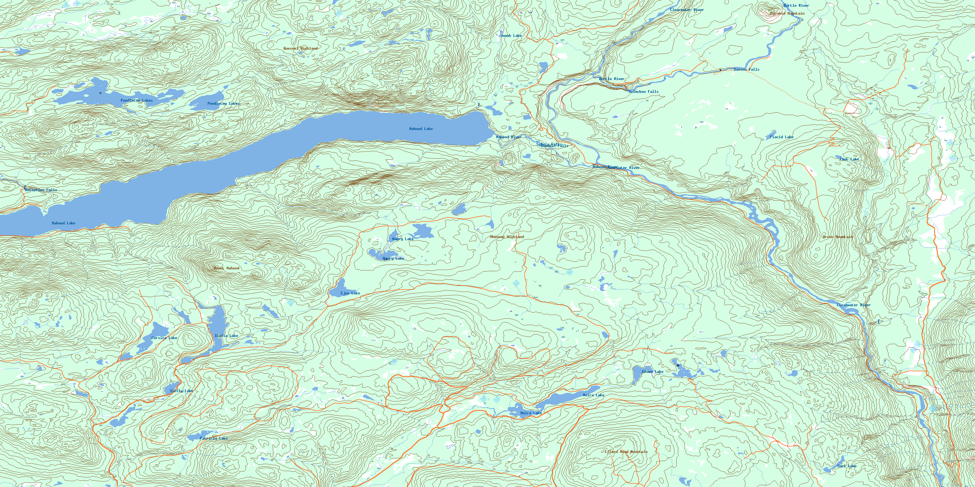
© Department of Natural Resources Canada. All rights reserved.
092P Related Maps:
092P Bonaparte Lake092P01 Louis Creek
092P02 Criss Creek
092P03 Loon Lake
092P04 Clinton
092P05 Jesmond
092P06 Green Lake
092P07 Bridge Lake
092P08 Chu Chua Creek
092P09 Clearwater
092P10 Deka Lake
092P11 100 Mile House
092P12 Gustafsen Lake
092P13 Chimney Lake
092P14 Lac La Hache
092P15 Canim Lake
092P16 Mahood Lake
