Clinton Topo Map Online
Download Free Topo Map Sheet 092P04 at 1:50,000 scale
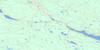
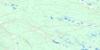
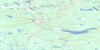
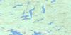
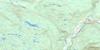
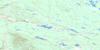
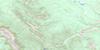
092P04 Clinton Topo Map
To view this map, mouse over the map preview on the right.
You can also download this topo map for free:
092P04 Clinton high-resolution topo map image.
Maps for the Clinton topo map sheet 092P04 at 1:50,000 scale are also available in these versions:
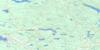
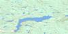
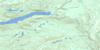
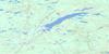
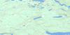
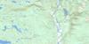
Clinton Surrounding Area Topo Maps
 |
 |
 |
 |
 |
 |
 |
 |
 |
 |
 |
 |
 |
 |
 |
 |
© Department of Natural Resources Canada. All rights reserved.
Clinton Gazetteer
The following places can be found on topographic map sheet 092P04 Clinton:
Clinton Topo Map: Indian Reserves
Clinton Indian Reserve 1High Bar Indian Reserve 1
High Bar Indian Reserve 1A
High Bar Indian Reserve 2
Leon Creek Indian Reserve 2
Leon Creek Indian Reserve 2A
Réserve indienne Clinton 1
Réserve indienne High Bar 1
Réserve indienne High Bar 1A
Réserve indienne High Bar 2
Réserve indienne Leon Creek 2
Réserve indienne Leon Creek 2A
Clinton Topo Map: Lakes
4 Mile Lake6 Mile Lake
Alkali Lakes
Barton Lake
Duck Lakes
Five Mile Lake
Kelly Lake
Kersey Lake
Leighwood Lake
Magnesia Lake
Salt Lake
Stick Lake
Three Mile Lake
Trurans Lake
Clinton Topo Map: Mountains
Camelsfoot RangeEdge Hills
Hart Ridge
Lime Ridge
Mad Dog Mountain
Marble Mountains
Marble Range
Mount Bowman
Mount Kerr
Mount Soues
Pavilion Mountains
Pavilion Range
Soues Mountain
Tsilsalt Ridge
Wild Horse Ridge
Clinton Topo Map: Conservation areas
Downing ParkEdge Hills Park
Kersey Lake Park
Marble Range Park
Clinton Topo Map: Plains
Fraser PlateauGreen Timber Plateau
Interior Plateau
Clinton Topo Map: Rivers
Allen CreekBarney Creek
Borrow Creek
Bowden Creek
Butcher Creek
Cavanagh Creek
Clinton Creek
Cutoff Valley Creek
Cutoffvalley Creek
Eleven Mile Creek
Fiftynine Creek
Fiftyone Creek
Fiftyseven Creek
Fortytwo Creek
Fraser River
Gabriel Creek
Goodrich Creek
Indian Creek
Juan Creek
Kay Creek
Kostering Creek
Lebasque Creek
Leon Creek
Minch Creek
Porcupine Creek
Soues Creek
Stable Creek
Two Mile Creek
Clinton Topo Map: Unincorporated areas
Kelly LakeLime
Clinton Topo Map: Villages
Clinton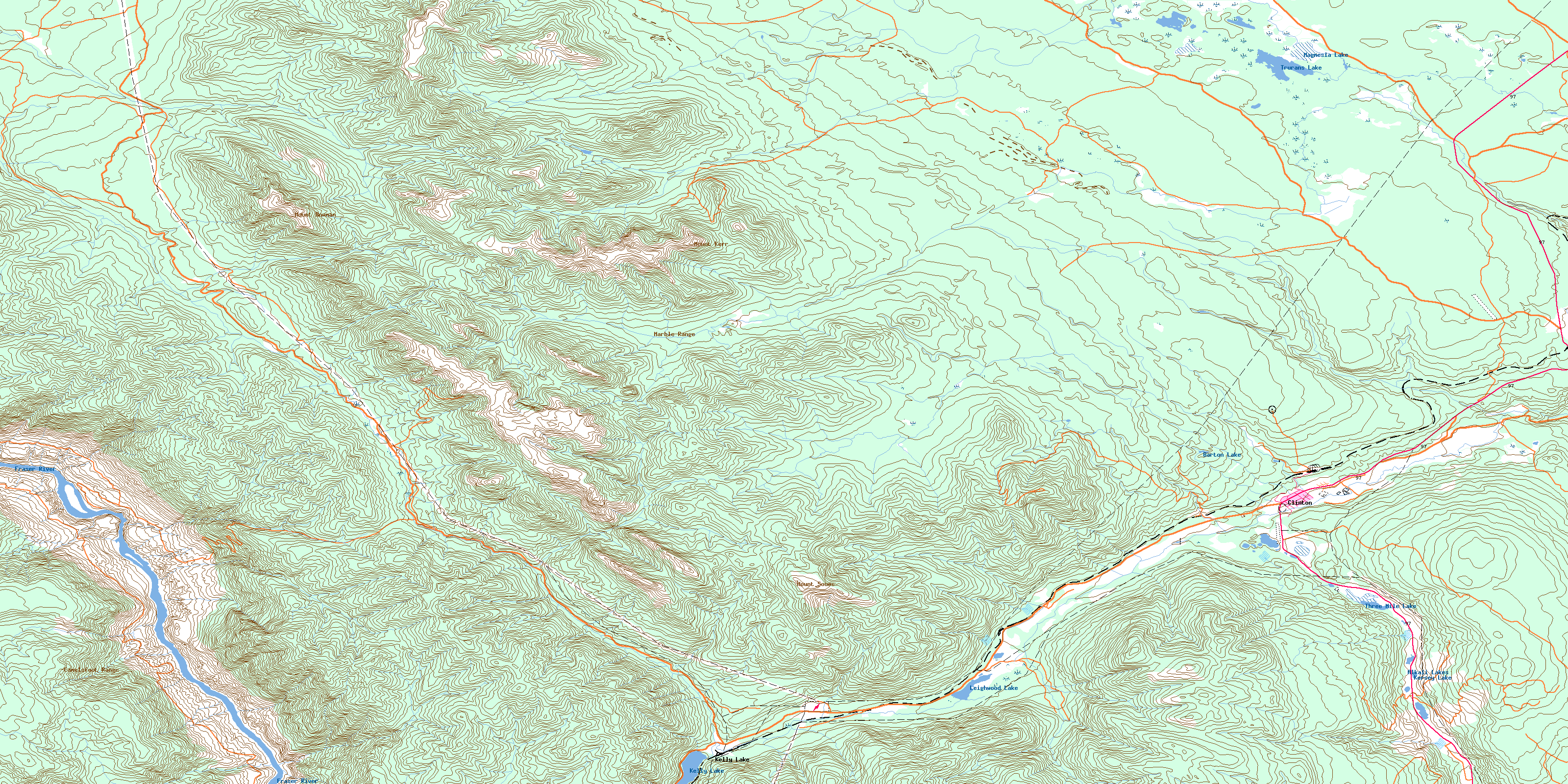
© Department of Natural Resources Canada. All rights reserved.
092P Related Maps:
092P Bonaparte Lake092P01 Louis Creek
092P02 Criss Creek
092P03 Loon Lake
092P04 Clinton
092P05 Jesmond
092P06 Green Lake
092P07 Bridge Lake
092P08 Chu Chua Creek
092P09 Clearwater
092P10 Deka Lake
092P11 100 Mile House
092P12 Gustafsen Lake
092P13 Chimney Lake
092P14 Lac La Hache
092P15 Canim Lake
092P16 Mahood Lake
