Fisher Channel Topo Map Online
Download Free Topo Map Sheet 093D04 at 1:50,000 scale
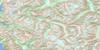
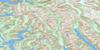
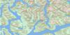
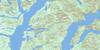
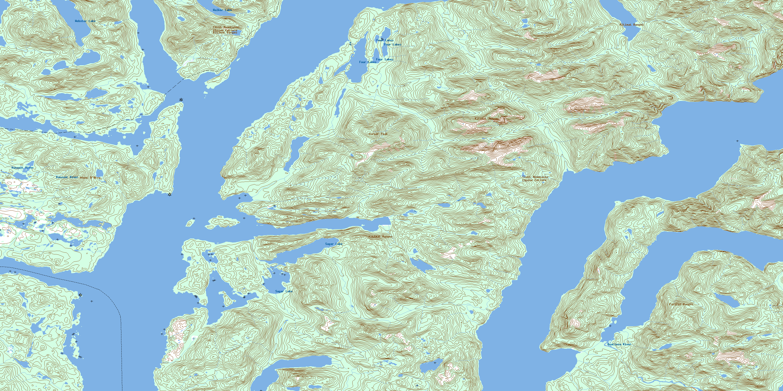
093D04 Fisher Channel Topo Map
To view this map, mouse over the map preview on the right.
You can also download this topo map for free:
093D04 Fisher Channel high-resolution topo map image.
Maps for the Fisher Channel topo map sheet 093D04 at 1:50,000 scale are also available in these versions:
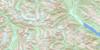
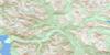
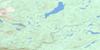
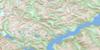
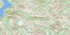
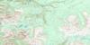
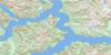
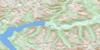
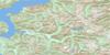
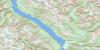
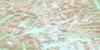
Fisher Channel Surrounding Area Topo Maps
 |
 |
 |
 |
 |
 |
 |
 |
 |
 |
 |
 |
 |
 |
 |
 |
© Department of Natural Resources Canada. All rights reserved.
Fisher Channel Gazetteer
The following places can be found on topographic map sheet 093D04 Fisher Channel:
Fisher Channel Topo Map: Bays
Bainbridge CoveBeales Bay
Dunn Bay
Evans Inlet
Forit Bay
Goose Bay
Gosse Bay
Hampden Bay
Jenny Inlet
Kwatna Inlet
Lagoon Bay
Long Point Cove
Port John
Restoration Bay
The Trap
Fisher Channel Topo Map: Capes
Anthony PointBernhardt Point
Bold Point
Brend Point
Carpenter Point
Clute Point
Denny Point
Draney Point
Dunn Point
Exeter Point
Farewell Point
Georgie Point
Hampden Point
Holti Point
Kaiete Point
Kelkpa Point
Long Point
Madigan Point
Mapalaklenk Point
Nob Point
Nyggard Point
Rattenbury Point
Salisbury Point
Septimus Point
Serpent Point
Shave Point
Start Point
Wakash Point
White Point
Fisher Channel Topo Map: Channels
Burke ChannelDean Channel
Fisher Channel
Gunboat Passage
Johnson Channel
Lama Passage
Luke Passage
Matthew Passage
Fisher Channel Topo Map: Islands
Algerine IslandBoot Island
Clayton Island
Clitheroe Island
Codville Island
Cunningham Island
Dean Island
Denny Island
Dingle Island
Flirt Island
Hunter Island
King Island
Leila Island
Luke Island
Magee Islet
Maria Island
Matthew Island
Picture Island
Pointer Island
Stokes Island
Sunny Island
Teal Island
Fisher Channel Topo Map: Lakes
Beales LagoonCodville Lagoon
Four Lakes
Sagar Lake
Walker Lake
Webster Lake
Fisher Channel Topo Map: Mountains
Chaîne CôtièreCoast Mountains
Codville Hill
Corner Peak
Kitimat Ranges
Mount D'Arcy
Pacific Ranges
Salisbury Cone
Sharp Cone
Fisher Channel Topo Map: Major municipal/district area - major agglomerations
Central Coast Regional DistrictFisher Channel Topo Map: Conservation areas
Codville Lagoon Marine ParkSagar Lake Park
Fisher Channel Topo Map: Rivers
Hook Nose CreekKunsoot River
Quatlena River
Scribner Creek
Fisher Channel Topo Map: Shoals
Bickford RockMark Rock
Miller Rock
Odegaard Rocks
Peril Rock
Walbran Rock
White Top Rock
© Department of Natural Resources Canada. All rights reserved.
093D Related Maps:
093D Bella Coola093D01 Jacobsen Glacier
093D02 South Bentinck Arm
093D03 Kwatna River
093D04 Fisher Channel
093D05 Ocean Falls
093D06 Labouchere Channel
093D07 Bella Coola
093D08 Stuie
093D09 Tahyesco River
093D10 Swallop Creek
093D11 Skowquiltz River
093D12 Ellerslie Lake
093D13 Tezwa River
093D14 Kimsquit River
093D15 Kimsquit
093D16 Sigutlat Lake
