Labouchere Channel Topo Map Online
Download Free Topo Map Sheet 093D06 at 1:50,000 scale
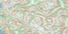
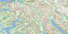
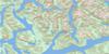
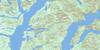
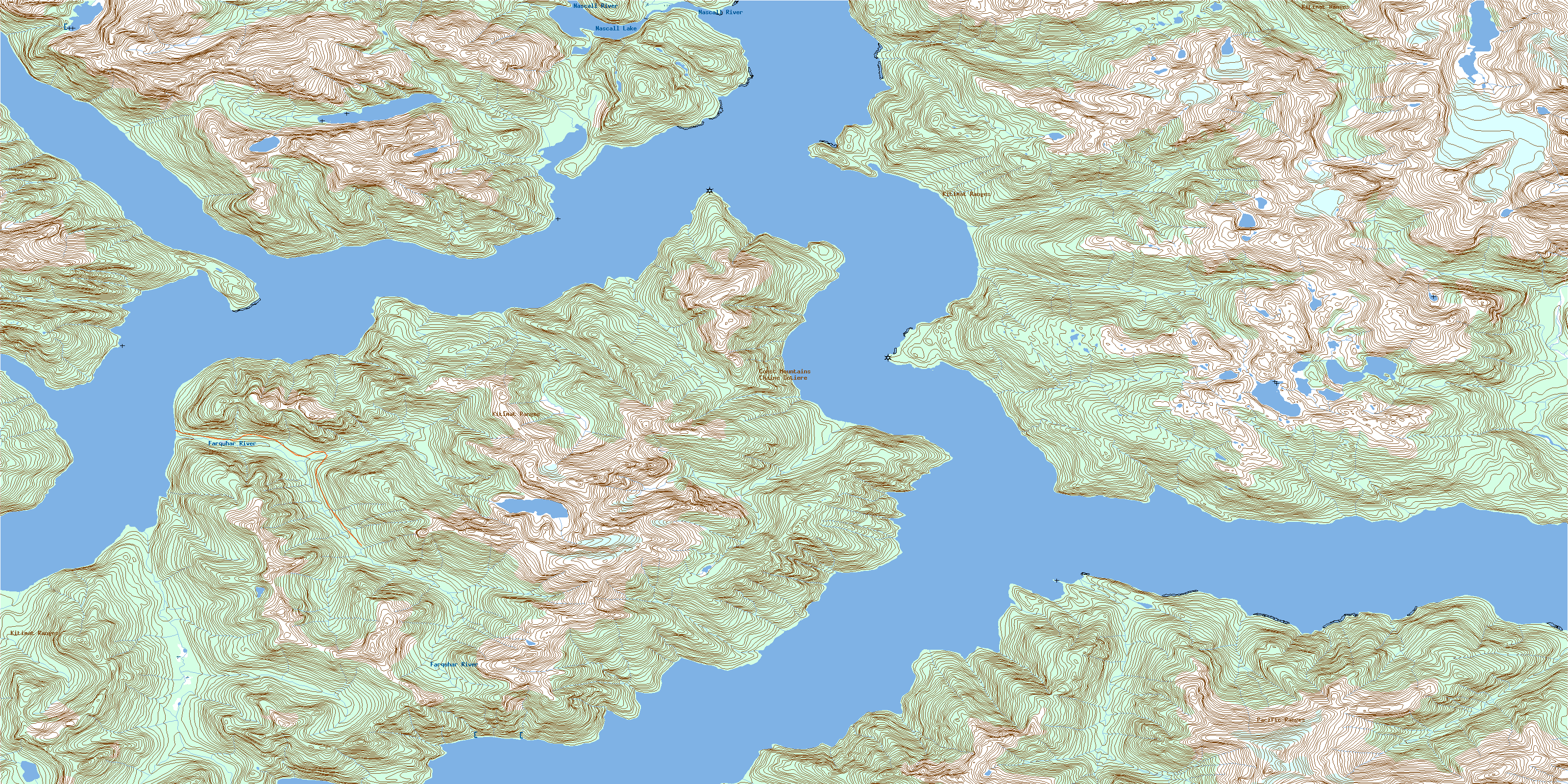
093D06 Labouchere Channel Topo Map
To view this map, mouse over the map preview on the right.
You can also download this topo map for free:
093D06 Labouchere Channel high-resolution topo map image.
Maps for the Labouchere Channel topo map sheet 093D06 at 1:50,000 scale are also available in these versions:
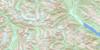
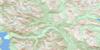
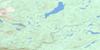
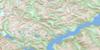
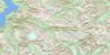
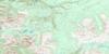
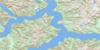
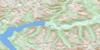
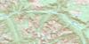
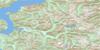
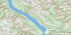
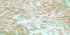
Labouchere Channel Surrounding Area Topo Maps
 |
 |
 |
 |
 |
 |
 |
 |
 |
 |
 |
 |
 |
 |
 |
 |
© Department of Natural Resources Canada. All rights reserved.
Labouchere Channel Gazetteer
The following places can be found on topographic map sheet 093D06 Labouchere Channel:
Labouchere Channel Topo Map: Bays
Cascade InletCroyden Bay
Elcho Harbour
Eucott Bay
Jacobsen Bay
McKay Bay
Nascall Bay
Labouchere Channel Topo Map: Capes
Cape McKayDeas Point
Edward Point
Elcho Point
Fougner Point
Hokonson Point
Kwaspala Point
Labouchere Point
Lalakata Point
Menzies Point
Mesachie Nose
Ovesen Point
Labouchere Channel Topo Map: Channels
Burke ChannelDean Channel
Labouchere Channel
Labouchere Channel Topo Map: Cliffs
Cascade BluffRam Bluff
Labouchere Channel Topo Map: Islands
King IslandLabouchere Channel Topo Map: Lakes
Nascall LakeWoran Lake
Labouchere Channel Topo Map: Mountains
Chaîne CôtièreCoast Mountains
Kitimat Ranges
Pacific Ranges
Labouchere Channel Topo Map: Major municipal/district area - major agglomerations
Central Coast Regional DistrictLabouchere Channel Topo Map: Conservation areas
Sir Alexander Mackenzie ParkLabouchere Channel Topo Map: Rivers
Farquhar RiverNascall River
Nooseseck River
Thorwald Creek
Woran Creek
Labouchere Channel Topo Map: Springs
Eucott Bay Hot SpringsEucott Hotsprings
Nascall Hot Springs
Nascall Hotsprings
© Department of Natural Resources Canada. All rights reserved.
093D Related Maps:
093D Bella Coola093D01 Jacobsen Glacier
093D02 South Bentinck Arm
093D03 Kwatna River
093D04 Fisher Channel
093D05 Ocean Falls
093D06 Labouchere Channel
093D07 Bella Coola
093D08 Stuie
093D09 Tahyesco River
093D10 Swallop Creek
093D11 Skowquiltz River
093D12 Ellerslie Lake
093D13 Tezwa River
093D14 Kimsquit River
093D15 Kimsquit
093D16 Sigutlat Lake
