Ellerslie Lake Topo Map Online
Download Free Topo Map Sheet 093D12 at 1:50,000 scale
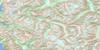
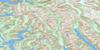
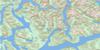
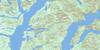
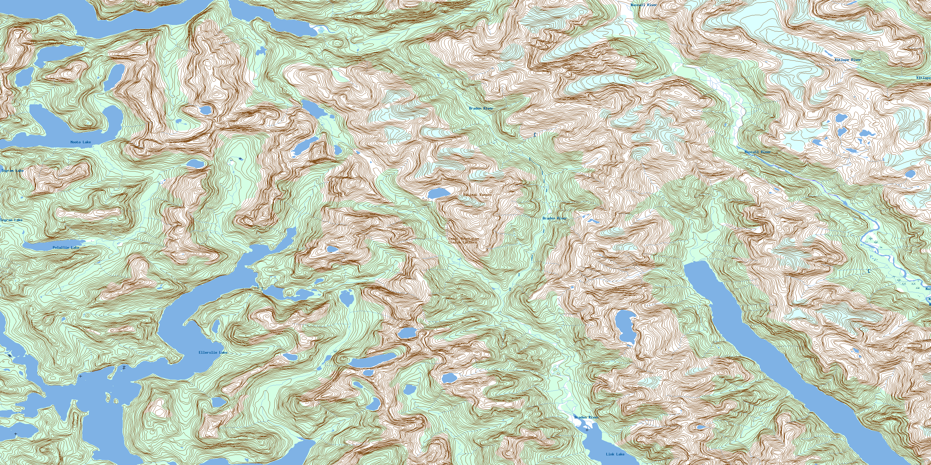
093D12 Ellerslie Lake Topo Map
To view this map, mouse over the map preview on the right.
You can also download this topo map for free:
093D12 Ellerslie Lake high-resolution topo map image.
Maps for the Ellerslie Lake topo map sheet 093D12 at 1:50,000 scale are also available in these versions:
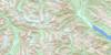
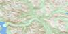
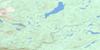
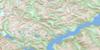
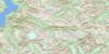
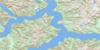
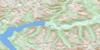
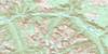
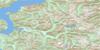
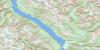
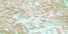
Ellerslie Lake Surrounding Area Topo Maps
 |
 |
 |
 |
 |
 |
 |
 |
 |
 |
 |
 |
 |
 |
 |
 |
© Department of Natural Resources Canada. All rights reserved.
Ellerslie Lake Gazetteer
The following places can be found on topographic map sheet 093D12 Ellerslie Lake:
Ellerslie Lake Topo Map: Bays
Cascade InletKynoch Inlet
North Arm
Quartcha Bay
Roscoe Inlet
South Arm
Spiller Inlet
Ellerslie Lake Topo Map: Capes
Coldwell PeninsulaEmily Peninsula
Ellerslie Lake Topo Map: Channels
Dean ChannelEllerslie Lake Topo Map: Indian Reserves
Quartcha Indian Reserve 3Réserve indienne Quartcha 3
Ellerslie Lake Topo Map: Islands
Grace IslandSadie Island
Ellerslie Lake Topo Map: Lakes
Culpepper LagoonEllerslie Lagoon
Ellerslie Lake
Ingram Lake
Link Lake
Mooto Lake
Polallie Lake
Ellerslie Lake Topo Map: Mountains
Chaîne CôtièreCoast Mountains
Kitimat Ranges
Ellerslie Lake Topo Map: Major municipal/district area - major agglomerations
Central Coast Regional DistrictRegional District of Kitimat-Stikine
Ellerslie Lake Topo Map: Conservation areas
Fiordland Recreation AreaEllerslie Lake Topo Map: Rivers
Braden RiverEllerslie Creek
Grady Creek
Holt Creek
Kitlope River
Lard Creek
Lard River
Levi Creek
Nascall River
Near Creek
Polallie Creek
Quartcha Creek
Riot Creek
Roscoe Creek
Roscoe River
Ruth Creek
© Department of Natural Resources Canada. All rights reserved.
093D Related Maps:
093D Bella Coola093D01 Jacobsen Glacier
093D02 South Bentinck Arm
093D03 Kwatna River
093D04 Fisher Channel
093D05 Ocean Falls
093D06 Labouchere Channel
093D07 Bella Coola
093D08 Stuie
093D09 Tahyesco River
093D10 Swallop Creek
093D11 Skowquiltz River
093D12 Ellerslie Lake
093D13 Tezwa River
093D14 Kimsquit River
093D15 Kimsquit
093D16 Sigutlat Lake
