Stuie Topo Map Online
Download Free Topo Map Sheet 093D08 at 1:50,000 scale
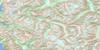
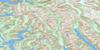
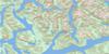
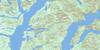
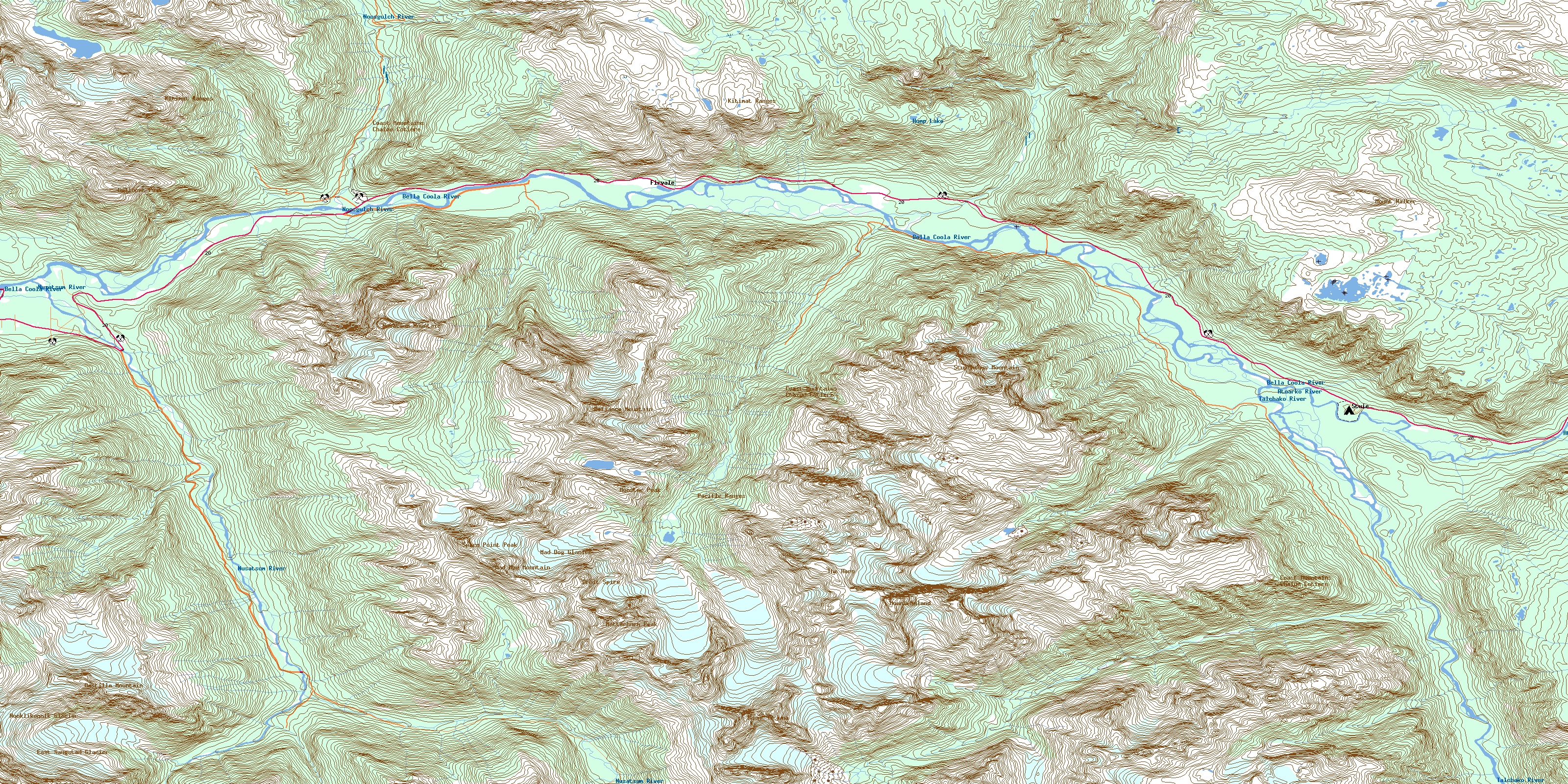
093D08 Stuie Topo Map
To view this map, mouse over the map preview on the right.
You can also download this topo map for free:
093D08 Stuie high-resolution topo map image.
Maps for the Stuie topo map sheet 093D08 at 1:50,000 scale are also available in these versions:
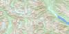
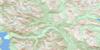
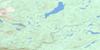
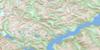
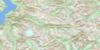
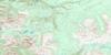
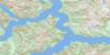
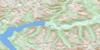
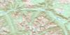
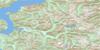
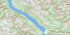
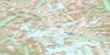
Stuie Surrounding Area Topo Maps
 |
 |
 |
 |
 |
 |
 |
 |
 |
 |
 |
 |
 |
 |
 |
 |
© Department of Natural Resources Canada. All rights reserved.
Stuie Gazetteer
The following places can be found on topographic map sheet 093D08 Stuie:
Stuie Topo Map: Geographical areas
Range 3 Coast Land DistrictStuie Topo Map: Glaciers
East Saugstad GlacierMad Dog Glacier
Nooklikonnik Glacier
Stuie Topo Map: Lakes
Hump LakeLong Lake
Stuie Topo Map: Mountains
Bastille MountainChaîne Côtière
Coast Mountains
Defiance Mountain
Happy Meadow Dome
Kitimat Ranges
Mad Dog Mountain
Matterhorn Peak
Melikan Mountain
Monster Peak
Mount Arjuna
Mount Corbould
Mount Nyland
Mount Walker
Nusatsum Mountain
Orbit Spire
Pacific Ranges
Salloomt Peak
Space Point Peak
Stupendous Mountain
Table Mountain
The Horn
Stuie Topo Map: Major municipal/district area - major agglomerations
Central Coast Regional DistrictStuie Topo Map: Plains
Fraser PlateauInterior Plateau
Stuie Topo Map: Rivers
Assanany CreekAssanany River
Atnarko River
Bear Camp Creek
Bella Coola River
Burnt Bridge Creek
Cacoohtin Creek
Corbould Creek
Horsetail Creek
Kahylskt Creek
Kahylskt River
Molly Creek
Noomst Creek
Noomst River
Noosgulch River
Nootsatsum River
Nordschow Creek
Nusatsum River
Stener Creek
Talchako River
Tseapseahoolz Creek
Tseapseahoolz River
Tsill Creek
Tsini Tsini Creek
Stuie Topo Map: Unincorporated areas
FirvaleStuie
Stuie Topo Map: Valleys
Deception PassMosquito Pass
© Department of Natural Resources Canada. All rights reserved.
093D Related Maps:
093D Bella Coola093D01 Jacobsen Glacier
093D02 South Bentinck Arm
093D03 Kwatna River
093D04 Fisher Channel
093D05 Ocean Falls
093D06 Labouchere Channel
093D07 Bella Coola
093D08 Stuie
093D09 Tahyesco River
093D10 Swallop Creek
093D11 Skowquiltz River
093D12 Ellerslie Lake
093D13 Tezwa River
093D14 Kimsquit River
093D15 Kimsquit
093D16 Sigutlat Lake
