Hulse Lake Topo Map Online
Download Free Topo Map Sheet 095D12 at 1:50,000 scale
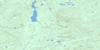
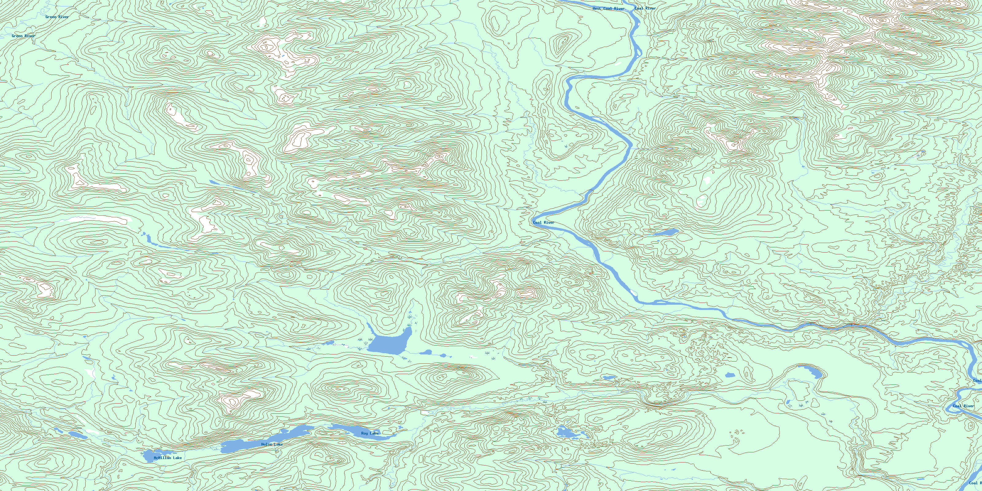
095D12 Hulse Lake Topo Map
To view this map, mouse over the map preview on the right.
You can also download this topo map for free:
095D12 Hulse Lake high-resolution topo map image.
Maps for the Hulse Lake topo map sheet 095D12 at 1:50,000 scale are also available in these versions:
Hulse Lake Surrounding Area Topo Maps
 |
 |
 |
 |
 |
 |
 |
 |
 |
 |
 |
 |
 |
 |
 |
 |
© Department of Natural Resources Canada. All rights reserved.
Hulse Lake Gazetteer
The following places can be found on topographic map sheet 095D12 Hulse Lake:
Hulse Lake Topo Map: Lakes
Hulse LakeMcMillan Lake
Quartz Lake
Roy Lake
Hulse Lake Topo Map: Rivers
Coal RiverGreen River
Quartz Creek
West Coal River
© Department of Natural Resources Canada. All rights reserved.
095D Related Maps:
095D Coal River095D01 No Title
095D02 Lootz Lake
095D03 Mount Gilliland
095D04 Irons Creek
095D05 Acland Creek
095D06 No Title
095D07 No Title
095D08 No Title
095D09 No Title
095D10 No Title
095D11 No Title
095D12 Hulse Lake
095D13 Mount Kostiuk
095D14 Mount Skonseng
095D15 Last Mountain
095D16 No Title
