Salatreil River Topo Map Online
Download Free Topo Map Sheet 096G10 at 1:50,000 scale
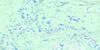
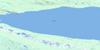
096G10 Salatreil River Topo Map
To view this map, mouse over the map preview on the right.
You can also download this topo map for free:
096G10 Salatreil River high-resolution topo map image.
Maps for the Salatreil River topo map sheet 096G10 at 1:50,000 scale are also available in these versions:
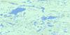
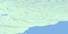
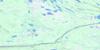
Salatreil River Surrounding Area Topo Maps
 |
 |
 |
 |
 |
 |
 |
 |
 |
 |
 |
|
 |
 |
 |
 |
© Department of Natural Resources Canada. All rights reserved.
Salatreil River Gazetteer
The following places can be found on topographic map sheet 096G10 Salatreil River:
Salatreil River Topo Map: Bays
Keith ArmSalatreil River Topo Map: Lakes
Grand lac de l'OursGreat Bear Lake
Salatreil River Topo Map: Rivers
Salatreil River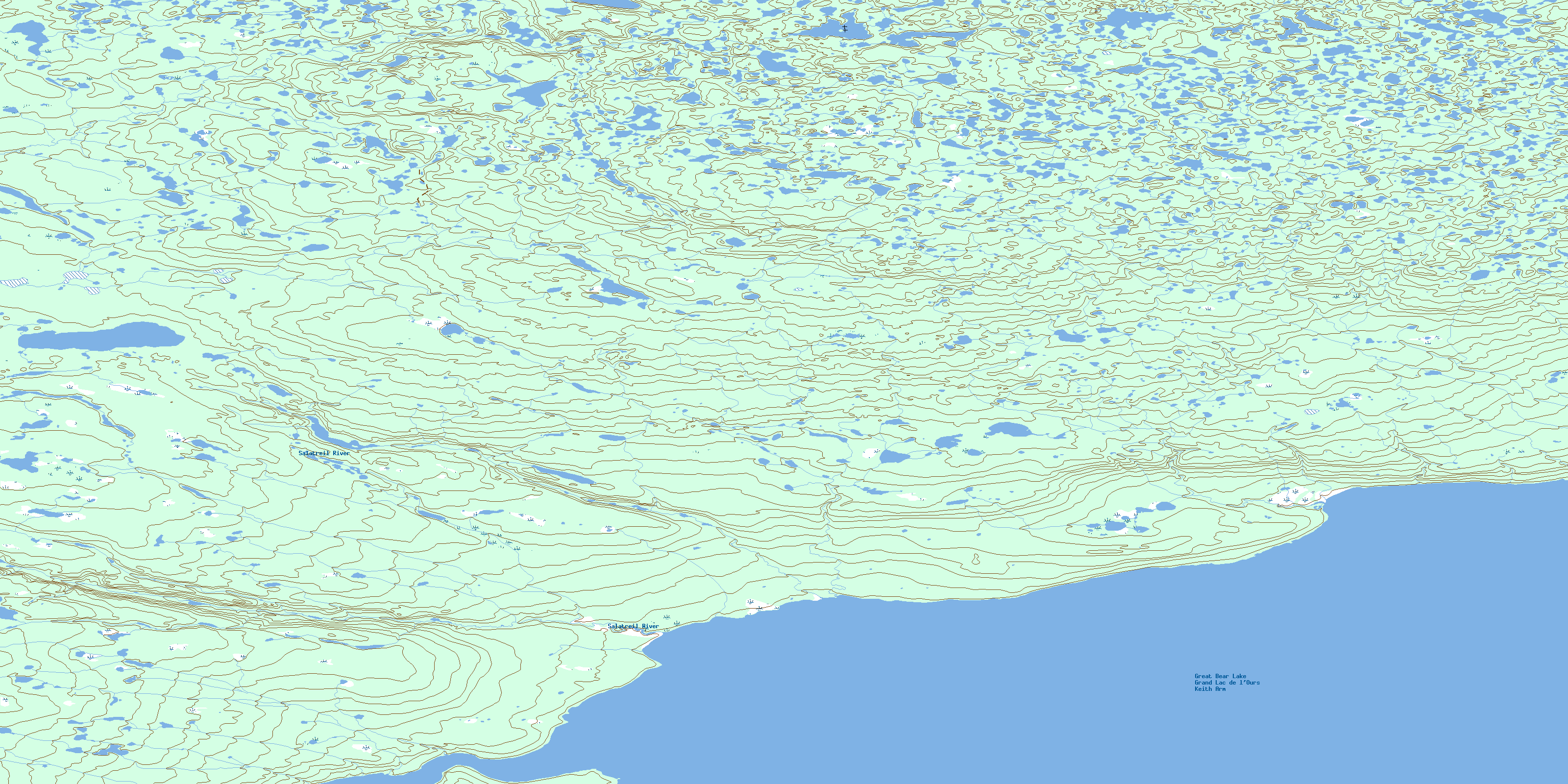
© Department of Natural Resources Canada. All rights reserved.
096G Related Maps:
096G Fort Franklin096G01 Manitou Island
096G02 No Title
096G03 Fort Franklin
096G04 No Title
096G05 No Title
096G06 No Title
096G07 Fox Point
096G09 No Title
096G10 Salatreil River
096G11 Kekwinatui Lake
096G12 No Title
096G13 No Title
096G14 Tuitatui Lake
096G15 No Title
096G16 Kokeragi Point
