Kitimat Arm Topo Map Online
Download Free Topo Map Sheet 103H15 at 1:50,000 scale
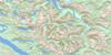
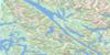
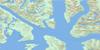
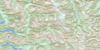
103H15 Kitimat Arm Topo Map
To view this map, mouse over the map preview on the right.
You can also download this topo map for free:
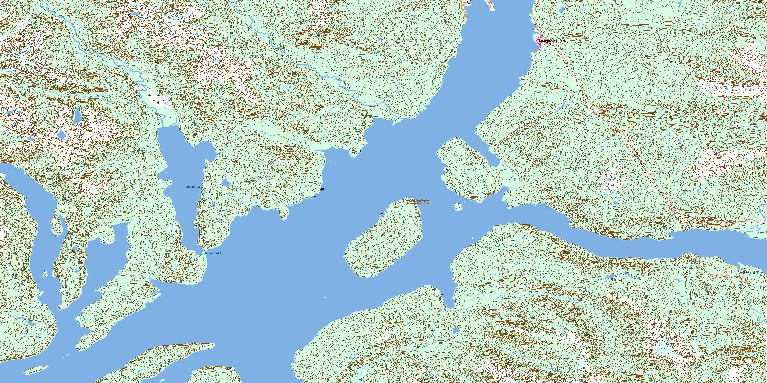
103H15 Kitimat Arm high-resolution topo map image.
Maps for the Kitimat Arm topo map sheet 103H15 at 1:50,000 scale are also available in these versions:
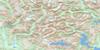
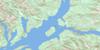
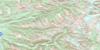
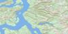
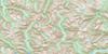
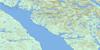
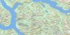
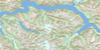
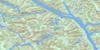
Kitimat Arm Surrounding Area Topo Maps
 |
 |
 |
 |
 |
 |
 |
 |
 |
 |
 |
 |
 |
 |
 |
 |
© Department of Natural Resources Canada. All rights reserved.
Kitimat Arm Gazetteer
The following places can be found on topographic map sheet 103H15 Kitimat Arm:
Kitimat Arm Topo Map: Bays
Atkins BayClio Bay
Dawson Arm
Eagle Bay
Emsley Cove
Gilttoyees Inlet
Gobeil Bay
Kildala Arm
Kitimat Arm
Kitimat Harbour
Miskatla Inlet
MK Bay
Kitimat Arm Topo Map: Capes
Clio PointCoste Point
Emsley Point
Hilton Point
Hopkins Point
Kersey Point
Legeak Point
Louis Point
Markland Point
Point Ashton
Raley Point
Steel Point
Walbran Point
Kitimat Arm Topo Map: Channels
Amos PassageDevastation Channel
Douglas Channel
Loretta Channel
Kitimat Arm Topo Map: Falls
Jesse FallsKitimat Arm Topo Map: Indian Reserves
Bees Indian Reserve 6Bish Indian Reserve 6
Henderson's Ranch Indian Reserve 11
Kitamaat Indian Reserve 2
Kitasa Indian Reserve 7
Kitimat Indian Reserve 2
Kitisa Indian Reserve 7
Kuaste (Mud Bay)(Kildala Arm) Indian Reserve 8
Réserve indienne Bees 6
Réserve indienne Bish 6
Réserve indienne Henderson's Ranch 11
Réserve indienne Kitamaat 2
Réserve indienne Kitasa 7
Réserve indienne Kitimat 2
Réserve indienne Kitisa 7
Réserve indienne Kuaste (Mud Bay)(Kildala Arm) 8
Réserve indienne Tosehka (Eagle Bay) 12
Réserve indienne Walth 3
Réserve indienne Wawelth 3
Tosehka (Eagle Bay) Indian Reserve 12
Walth Indian Reserve 3
Wawelth Indian Reserve 3
Kitimat Arm Topo Map: Islands
Coste IslandEmilia Island
Gobeil Island
Loretta Island
Maitland Island
Kitimat Arm Topo Map: Lakes
Jesse LakeKitimat Arm Topo Map: Mountains
Chaîne CôtièreCoast Mountains
Haisla Mountain
Kitimat Ranges
Photograph Mountain
Kitimat Arm Topo Map: Major municipal/district area - major agglomerations
Regional District of Kitimat-StikineKitimat Arm Topo Map: Rivers
Bish CreekBolton Creek
Dala River
Deer Creek
Emsley Creek
Falls Creek
Falls River
Hugh Creek
Jesse Creek
Moore Creek
Morrison Creek
Power Creek
Wathl Creek
Wathlsto Creek
Kitimat Arm Topo Map: Shoals
Brentzen RockCoste Rocks
Nanakwa Shoal
Kitimat Arm Topo Map: Unincorporated areas
HaislaKitamaat Village
Kitimat Mission
© Department of Natural Resources Canada. All rights reserved.
103H Related Maps:
103H Douglas Channel103H01 Khutze River
103H02 Butedale
103H03 Gil Island
103H04 Trutch Island
103H05 Port Stephens
103H06 Hartley Bay
103H07 Ursula Channel
103H08 Gardner Canal
103H09 Brim River
103H10 Devastation Channel
103H11 Kitkiata Inlet
103H12 Lowe Inlet
103H13 Kumealon Lake
103H14 Foch Lagoon
103H15 Kitimat Arm
103H16 Kildala Arm
