Melville Island Topo Map Online
Download Free Topo Map Sheet 103J07 at 1:50,000 scale
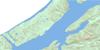
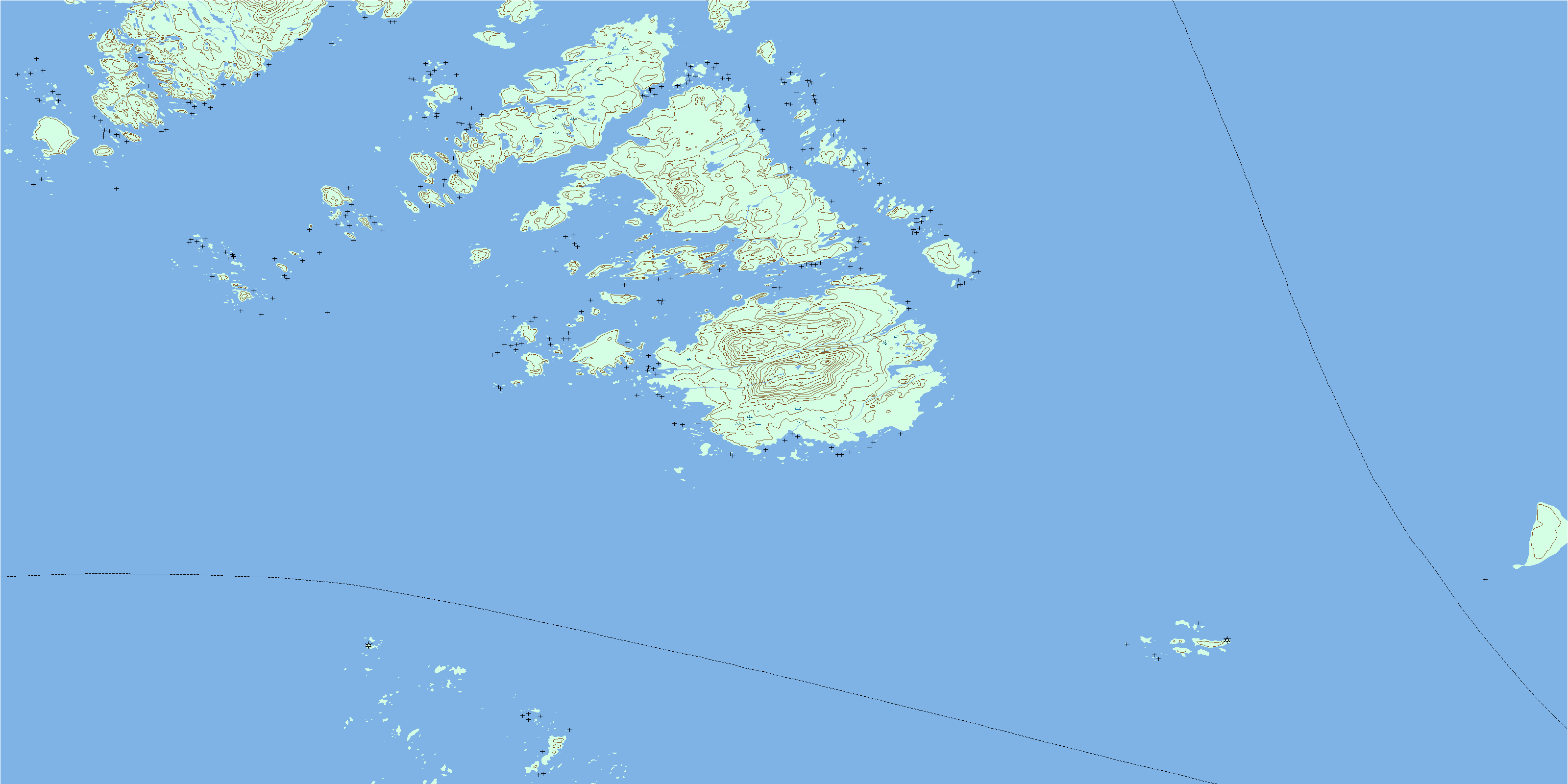
103J07 Melville Island Topo Map
To view this map, mouse over the map preview on the right.
You can also download this topo map for free:
103J07 Melville Island high-resolution topo map image.
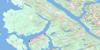
Maps for the Melville Island topo map sheet 103J07 at 1:50,000 scale are also available in these versions:
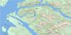
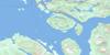
Melville Island Surrounding Area Topo Maps
 |
|||
 |
 |
||
 |
 |
||
 |
 |
 |
© Department of Natural Resources Canada. All rights reserved.
Melville Island Gazetteer
The following places can be found on topographic map sheet 103J07 Melville Island:
Melville Island Topo Map: Bays
Chatham SoundClam Inlet
Edith Harbour
Melville Island Topo Map: Capes
Chapman PointDawes Point
Deans Point
Farwest Point
Gore-Langton Point
Jackal Point
Melville Island Topo Map: Channels
Brown PassageHudson Bay Passage
Melville Island Topo Map: Indian Reserves
Dundas Island Indian Reserve 32BFar West Point Indian Reserve 34
Prince Leboo Island Indian Reserve 32
Réserve indienne Dundas Island 32B
Réserve indienne Far West Point 34
Réserve indienne Prince Leboo Island 32
Réserve indienne Rushton Island 90
Réserve indienne Tugwell Island 21
Rushton Island Indian Reserve 90
Tugwell Island Indian Reserve 21
Melville Island Topo Map: Islands
Baron IslandChearnley Island
Chearnley Islet
Connel Islands
Dundas Island
Dundas Islands
Dunira Island
Lucy Islands
Melville Island
Moffatt Islands
Nares Islets
Osborne Islands
Prince Leboo Island
Randall Island
Rushton Island
Tree Nob Group
Triple Islands
Triple Islets
Tugwell Island
Melville Island Topo Map: Mountains
Coast MoundKitimat Ranges
Knee Hill
Melville Island Topo Map: Shoals
Beaver RockCoghlan Rock
Cutter Rock
Dawes Rock
Dawes Rocks
Egeria Rock
Enfield Rock
Hammond Rocks
Hanmer Rocks
Hodgson Reefs
Moore Shoal
Simpson Rock
Stenhouse Shoal
Taylor Rock
Tugwell Reef
© Department of Natural Resources Canada. All rights reserved.
