Port Edward Topo Map Online
Download Free Topo Map Sheet 103J01 at 1:50,000 scale
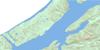
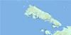
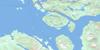
103J01 Port Edward Topo Map
To view this map, mouse over the map preview on the right.
You can also download this topo map for free:
103J01 Port Edward high-resolution topo map image.
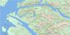
Maps for the Port Edward topo map sheet 103J01 at 1:50,000 scale are also available in these versions:
Port Edward Surrounding Area Topo Maps
 |
|||
 |
 |
||
 |
 |
||
 |
 |
 |
© Department of Natural Resources Canada. All rights reserved.
Port Edward Gazetteer
The following places can be found on topographic map sheet 103J01 Port Edward:
Port Edward Topo Map: Bays
Chalmers AnchorageChatham Sound
Humpback Bay
Hunt Inlet
Jap Inlet
Kloiya Bay
Lawson Harbour
Moore Cove
Porpoise Harbour
Tremayne Bay
Tsum Tsadai Inlet
Wainwright Basin
Port Edward Topo Map: Capes
Clara PointClough Point
Cocktail Point
Creak Point
Francis Point
Fraser Point
Gamble Point
Georgy Point
Godfrey Point
Gust Point
Hanmer Point
Hazel Point
Hegan Point
Hicks Point
Hunt Point
Inrig Point
Island Point
Lamb Point
Lambert Point
Leer Point
Lima Point
Mason Point
Moore Point
Mowitch Point
Osborn Point
Parry Point
Soar Point
Tatenham Point
Tsimpsean Peninsula
Veitch Point
Port Edward Topo Map: Channels
Arthur PassageBloxam Passage
Chismore Passage
De Horsey Passage
Eleanor Passage
Inverness Passage
Kelp Passage
Malacca Passage
Marcus Passage
Porpoise Channel
Telegraph Passage
Port Edward Topo Map: Cliffs
Marked Tree BluffPort Edward Topo Map: District municipality
Port EdwardPort Edward Topo Map: Indian Reserves
Dashken Indian Reserve 22Kshaoom Indian Reserve 23
Meanlaw Indian Reserve 24
Réserve indienne Dashken 22
Réserve indienne Kshaoom 23
Réserve indienne Meanlaw 24
Port Edward Topo Map: Islands
Ada IslandsAlice Island
Bamfield Islands
Bishop Island
Break Island
Bribery Island
Bribery Islet
Coast Island
Creak Islands
Croasdaile Island
De Horsey Island
Digby Island
East Kinahan Island
Elliott Island
Gay Island
Genn Islands
Grace Island
Greentop Islet
Hanmer Island
Kaien Island
Kennedy Island
Kinahan Islands
Kitson Island
Kitson Islet
Lamppost Islet
Lawyer Islands
Lelu Island
Lewis Island
Little Genn Island
Little Kinahan Island
McMicking Island
Metford Island
Neill Islet
Orwig Islets
Porcher Island
Ridley Island
Smith Island
South Kinahan Island
Spire Island
Stapledon Island
Tuck Island
West Kinahan Island
Port Edward Topo Map: Lakes
Alwyn LakeArtificial Lake
Balagno Lake
Blain Lake
Bremner Lake
Carlisle Lake
Colonel Johnston Lake
Diana Lake
Emergency Lake
Fortune Lake
Harrison Lake
Icy Lake
Macmillan Lake
Peck Lake
Porpoise Lake
Prudhomme Lake
Prud'homme Lake
Ptarmigan Lake
Rainbow Lake
Salt Lagoon
Salt Lake
Taylor Lake
Useless Lake
Port Edward Topo Map: Mountains
Bell RangeChismore Range
Coast Mountains
Cunningham Peak
Elizabeth Peak
Kitimat Ranges
Morrison Mountain
Mount Chapleau
Mount Dodge
Mount McDonald
Mount McGrath
Mount Morrison
Mount Steckel
Mount Stewart
Spiller Range
Spruce Hill
Port Edward Topo Map: Conservation areas
Diana Lake ParkKitson Island Marine Park
Prudhomme Lake Park
Port Edward Topo Map: Rivers
Back CreekBeaver River
Boneyard Creek
Canyon Creek
Carlisle Creek
Caspaco Creek
Claxton Creek
Colonel Johnston Creek
Foote Creek
Gamble Creek
Haysport Creek
Humpback Creek
Kildala Creek
Kloiya River
MacMillan Creek
Porcher Creek
Skeena River
Spiller River
Standard Creek
Useless Creek
Wolf Creek
Port Edward Topo Map: Sea features
Zanardi RapidsPort Edward Topo Map: Shoals
Agnew BankBacon Rock
Barrett Rock
Base
Base Sand
Brooks Rock
Cecil Patch
Chassepot Rock
Clara Shoal
Client Reefs
Colquhoun Shoal
Cruice Rock
Davies Bank
Dor Rock
Ellinor Rock
Ettrick Rock
Falcon Rock
Flora Bank
Georgia Rock
Grace Rock
Havelock Rock
Herbert Reefs
Holland Rock
Horsey Bank
Kestrel Rock
Marion Rock
Mathews Rock
Petrel Rock
Robertson Banks
Spire Ledge
Tsum Tsadai Rock
Veitch Rock
Port Edward Topo Map: Unincorporated areas
BillmorCarlisle
Caspaco
Caspaco Cannery
Cassiar
Claxton
Haysport
Hunts Inlet
Inverness
Jap Inlet
Kaien
Lewis Island
North Pacific
Oceanic
Osland
Phelan
Porcher Island
Ridley
Sockeye
Sunnyside
Watson Island
Port Edward Topo Map: Valleys
Rainbow Pass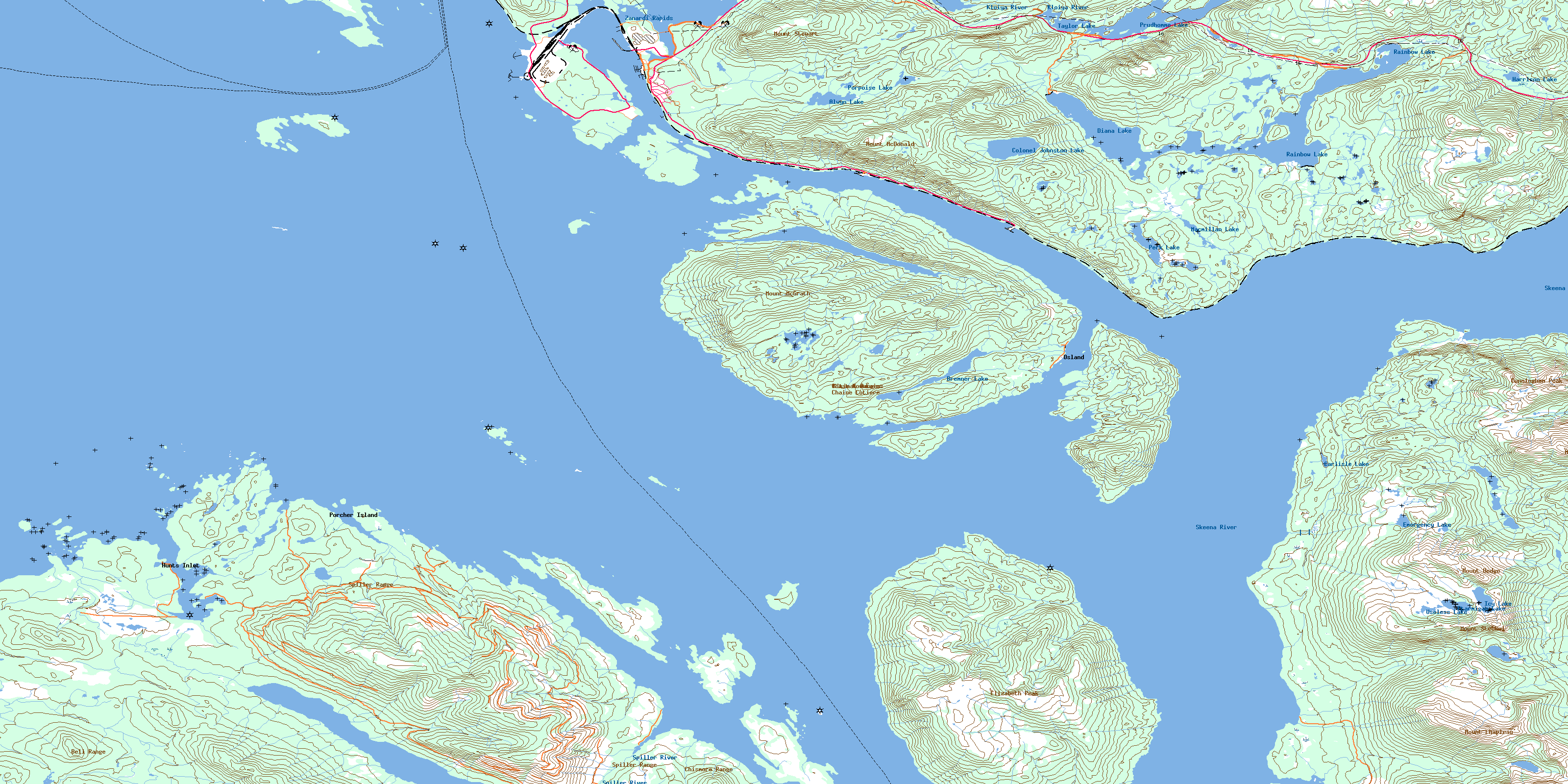
© Department of Natural Resources Canada. All rights reserved.
