Twopete Mountain Topo Map Online
Download Free Topo Map Sheet 105K12 at 1:50,000 scale
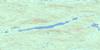
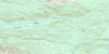
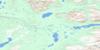
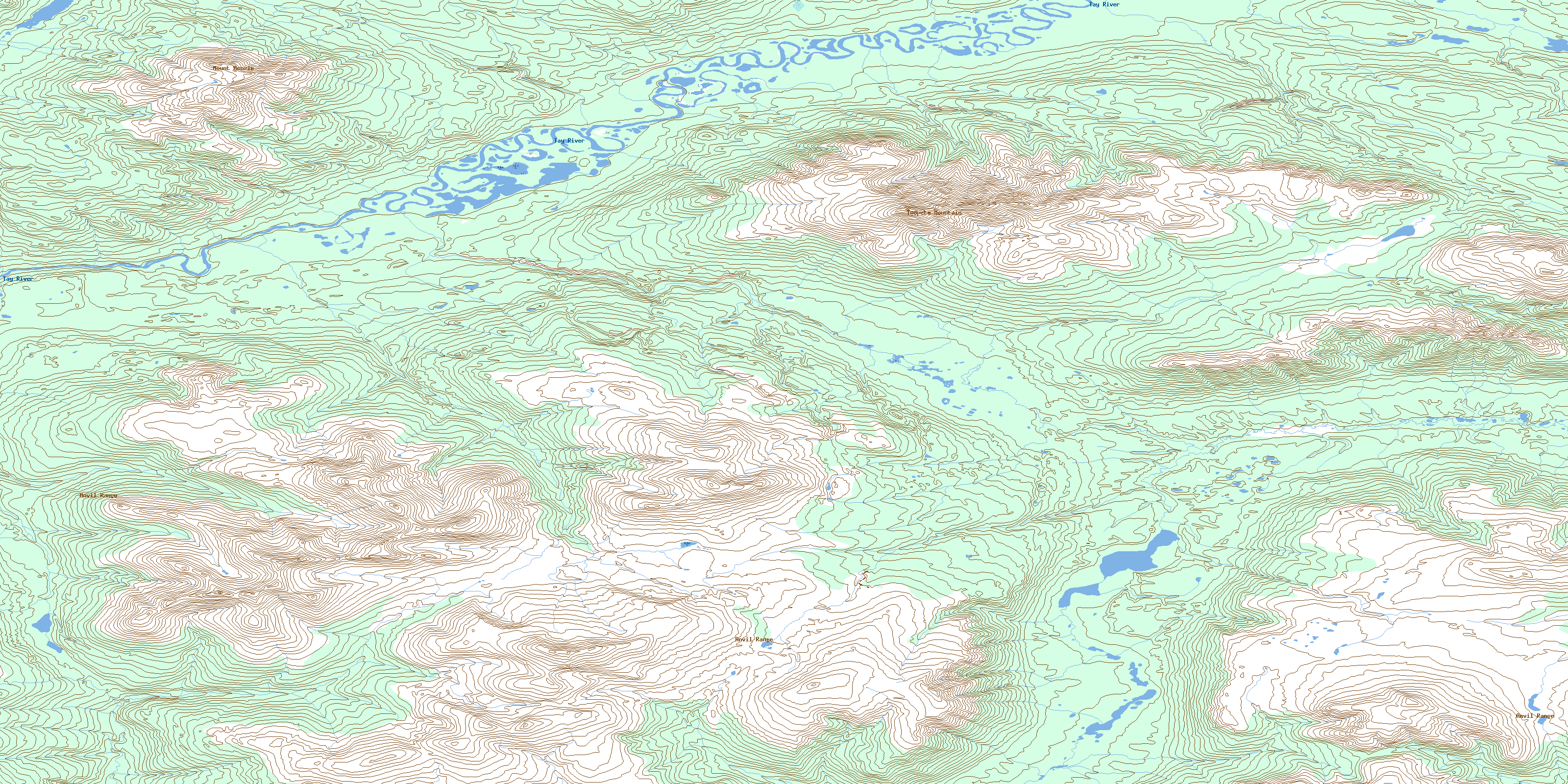
105K12 Twopete Mountain Topo Map
To view this map, mouse over the map preview on the right.
You can also download this topo map for free:
105K12 Twopete Mountain high-resolution topo map image.
Maps for the Twopete Mountain topo map sheet 105K12 at 1:50,000 scale are also available in these versions:
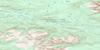
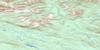
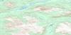
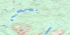
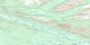
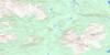
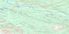
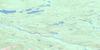
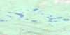
Twopete Mountain Surrounding Area Topo Maps
 |
 |
 |
 |
 |
 |
 |
 |
 |
 |
 |
 |
 |
 |
 |
 |
© Department of Natural Resources Canada. All rights reserved.
Twopete Mountain Gazetteer
The following places can be found on topographic map sheet 105K12 Twopete Mountain:
Twopete Mountain Topo Map: Lakes
Anvil LakeTwopete Mountain Topo Map: Mountains
Anvil MountainsAnvil Range
Earn Hills
Menzie Mountain
Mount Menzie
Mount Négh{14} Tsí'
Twopete Mountain
Twopete Mountain Topo Map: Plains
Yukon PlateauTwopete Mountain Topo Map: Rivers
Coward CreekMenzie Creek
Tay River
Twopete Creek
© Department of Natural Resources Canada. All rights reserved.
105K Related Maps:
105K Tay River105K01 Tenas Creek
105K02 Swim Lakes
105K03 Faro
105K04 Mount Atherton
105K05 Rose Mountain
105K06 Mount Mye
105K07 Blind Creek
105K08 Blind Lakes
105K09 Laforce Lake
105K10 Teddy Creek
105K11 Barwell Lake
105K12 Twopete Mountain
105K13 Stokes Lake
105K14 Mount Gillis
105K15 No Title
105K16 Mount Selous
