Glenlyon Lake Topo Map Online
Download Free Topo Map Sheet 105L08 at 1:50,000 scale
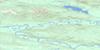
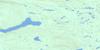
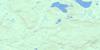
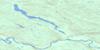
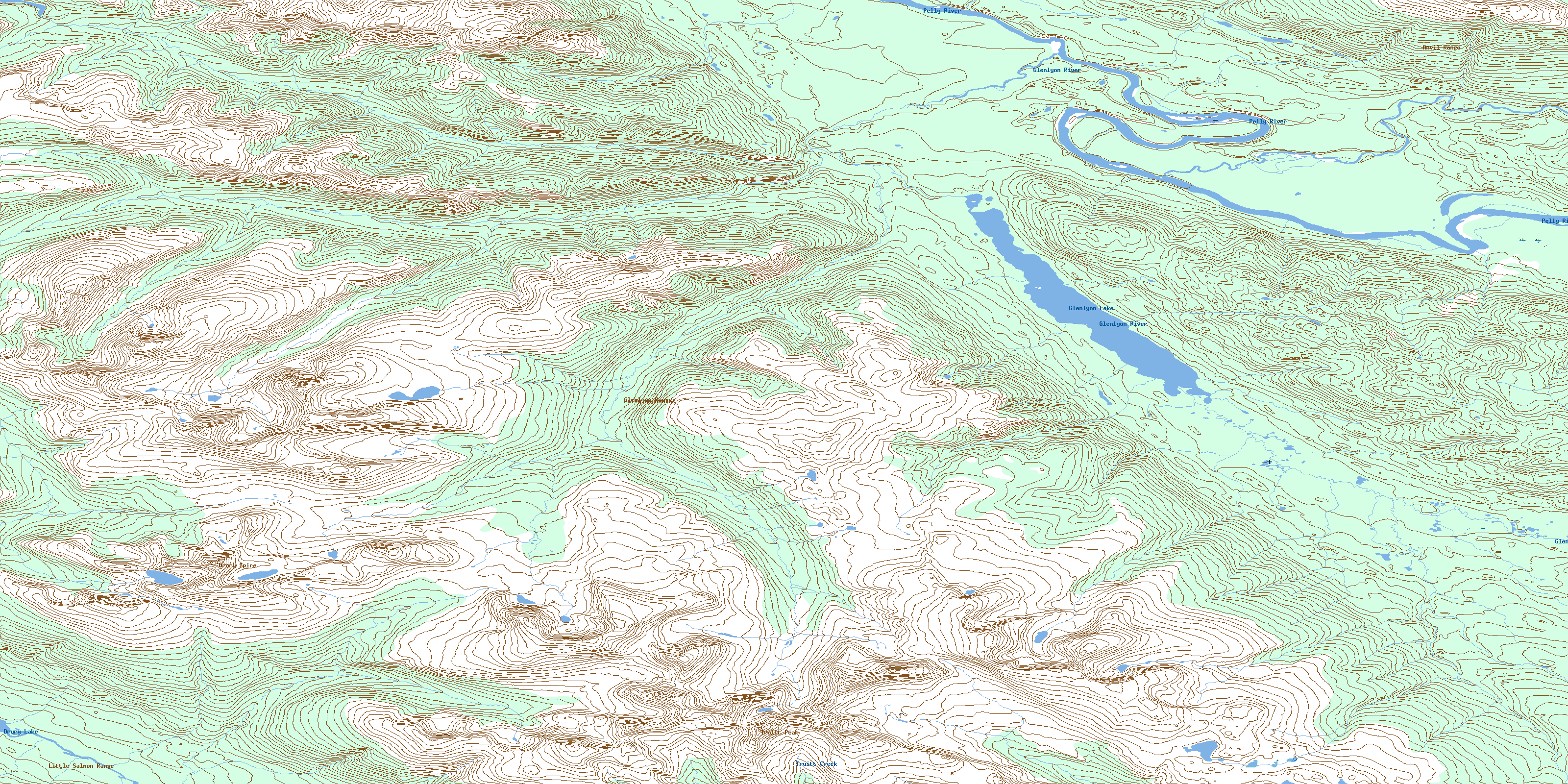
105L08 Glenlyon Lake Topo Map
To view this map, mouse over the map preview on the right.
You can also download this topo map for free:
105L08 Glenlyon Lake high-resolution topo map image.
Maps for the Glenlyon Lake topo map sheet 105L08 at 1:50,000 scale are also available in these versions:
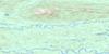
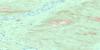
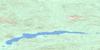
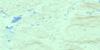
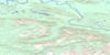
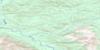
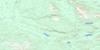
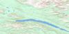
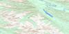
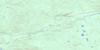
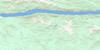
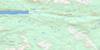
Glenlyon Lake Surrounding Area Topo Maps
 |
 |
 |
 |
 |
 |
 |
 |
 |
 |
 |
 |
 |
 |
 |
 |
© Department of Natural Resources Canada. All rights reserved.
Glenlyon Lake Gazetteer
The following places can be found on topographic map sheet 105L08 Glenlyon Lake:
Glenlyon Lake Topo Map: Lakes
Drury LakeGlenlyon Lake
Glenlyon Lakes
Truitt Creek
Glenlyon Lake Topo Map: Mountains
Anvil MountainsAnvil Range
Drury Spire
Glenlyon Mountains
Glenlyon Range
Little Salmon Range
Pelly Mountains
Truitt Peak
Glenlyon Lake Topo Map: Plains
Yukon PlateauGlenlyon Lake Topo Map: Rapids
Big Fish Hook RapidsBig Fishook Rapid
Little Fish Hook Rapids
Little Fishook Rapid
Glenlyon Lake Topo Map: Rivers
Anvil CreekDrury Creek
Fan Creek
Felix Creek
Glenlyon River
Jar Creek
Pass Creek
Pelly River
Railway Survey Creek
Glenlyon Lake Topo Map: Valleys
Tintina TrenchTintina Valley
© Department of Natural Resources Canada. All rights reserved.
105L Related Maps:
105L Glenlyon105L01 Truitt Creek
105L02 Snowcap Mountain
105L03 Little Salmon River
105L04 Frenchman Lake
105L05 Tadru Lake
105L06 Afe Peak
105L07 Drury Lake
105L08 Glenlyon Lake
105L09 Menzie Creek
105L10 Detour Lakes
105L11 Ragged Lake
105L12 Tatlmain Lake
105L13 Little Kalzas Lake
105L14 Safety Pin Bend
105L15 Dromedary Mountain
105L16 Earn Lake
