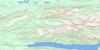
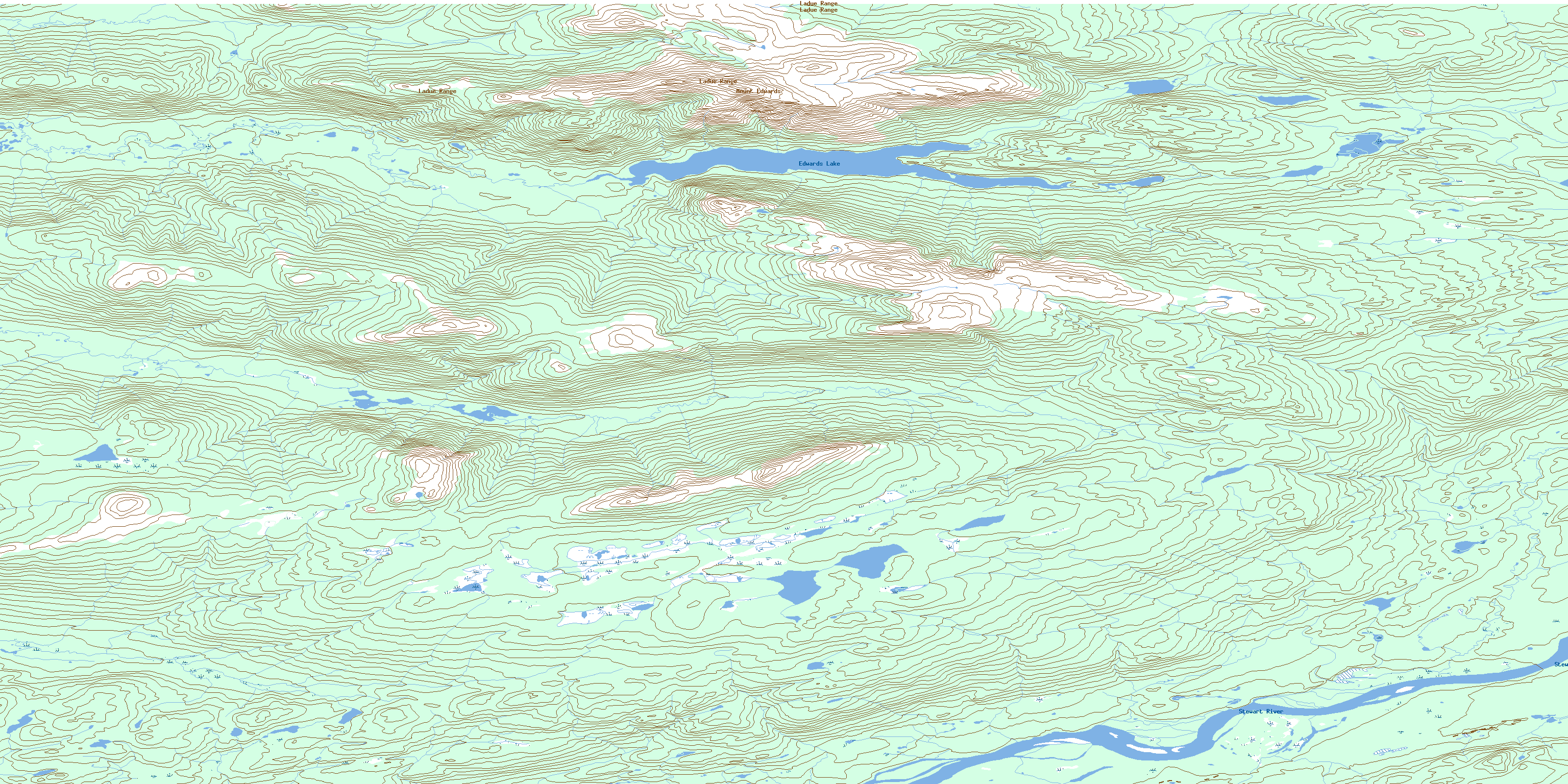
Edwards Lake Topo Map Online
Download Free Topo Map Sheet 105M09 at 1:50,000 scale
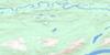
105M09 Edwards Lake Topo Map
To view this map, mouse over the map preview on the right.
You can also download this topo map for free:
105M09 Edwards Lake high-resolution topo map image.
Maps for the Edwards Lake topo map sheet 105M09 at 1:50,000 scale are also available in these versions:
Edwards Lake Surrounding Area Topo Maps
 |
 |
 |
 |
 |
 |
 |
 |
 |
 |
 |
 |
 |
 |
 |
 |
© Department of Natural Resources Canada. All rights reserved.
Edwards Lake Gazetteer
The following places can be found on topographic map sheet 105M09 Edwards Lake:
Edwards Lake Topo Map: Lakes
Edwards LakeEdwards Lake Topo Map: Mountains
Ladue RangeLonely Dome
Mount Edwards
Nelson Ridge
Edwards Lake Topo Map: Plains
Yukon PlateauEdwards Lake Topo Map: Rivers
Barren Plateau CreekEdwards Creek
Nelson Creek
South Nelson Creek
Stewart River
© Department of Natural Resources Canada. All rights reserved.
105M Related Maps:
105M Mayo105M01 Moose Lake
105M02 Clarke Hills
105M03 Sideslip Lake
105M04 Woodburn Lake
105M05 Francis Lake
105M06 Nogold Creek
105M07 Highland Lake
105M08 Canoe Creek
105M09 Edwards Lake
105M10 South Nelson Creek
105M11 Williamson Lake
105M12 Mayo
105M13 Mount Haldane
105M14 Keno Hill
105M15 Mayo Lake
105M16 Tiny Island Lake
