Mount Haldane Topo Map Online
Download Free Topo Map Sheet 105M13 at 1:50,000 scale
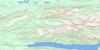
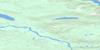
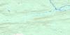
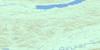
105M13 Mount Haldane Topo Map
To view this map, mouse over the map preview on the right.
You can also download this topo map for free:
105M13 Mount Haldane high-resolution topo map image.
Maps for the Mount Haldane topo map sheet 105M13 at 1:50,000 scale are also available in these versions:
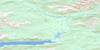
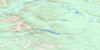
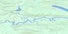
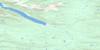
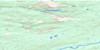
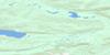
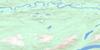
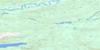
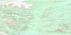
Mount Haldane Surrounding Area Topo Maps
 |
 |
 |
 |
 |
 |
 |
 |
 |
 |
 |
 |
 |
 |
 |
 |
© Department of Natural Resources Canada. All rights reserved.
Mount Haldane Gazetteer
The following places can be found on topographic map sheet 105M13 Mount Haldane:
Mount Haldane Topo Map: Lakes
Halfway LakesMount Haldane Topo Map: Mountains
Field HillMount Haldane
Van Cleaves Hill
Mount Haldane Topo Map: Plains
Yukon PlateauMount Haldane Topo Map: Rivers
Aldis CreekBighorn Creek
Black Creek
Brefalt Creek
Christal Creek
Corkery Creek
Duncan Creek
Field Creek
Flat Creek
Fortune Creek
Galena Creek
Haggart Creek
Haldane Creek
Lynx Creek
Lynx Creek
Mayo Brook
Mayo River
Mud Creek
North Star Creek
Roaring Fork Creek
Ross Creek
Sandy Creek
Secret Creek
Secret Creek
Shanghai Creek
Ski Creek
Snowshoe Creek
South McQuesten River
Spire Creek
Swede Creek
Thompson Creek
Trail Creek
Williams Creek
Youth Creek
Mount Haldane Topo Map: Valleys
Porcupine Gulch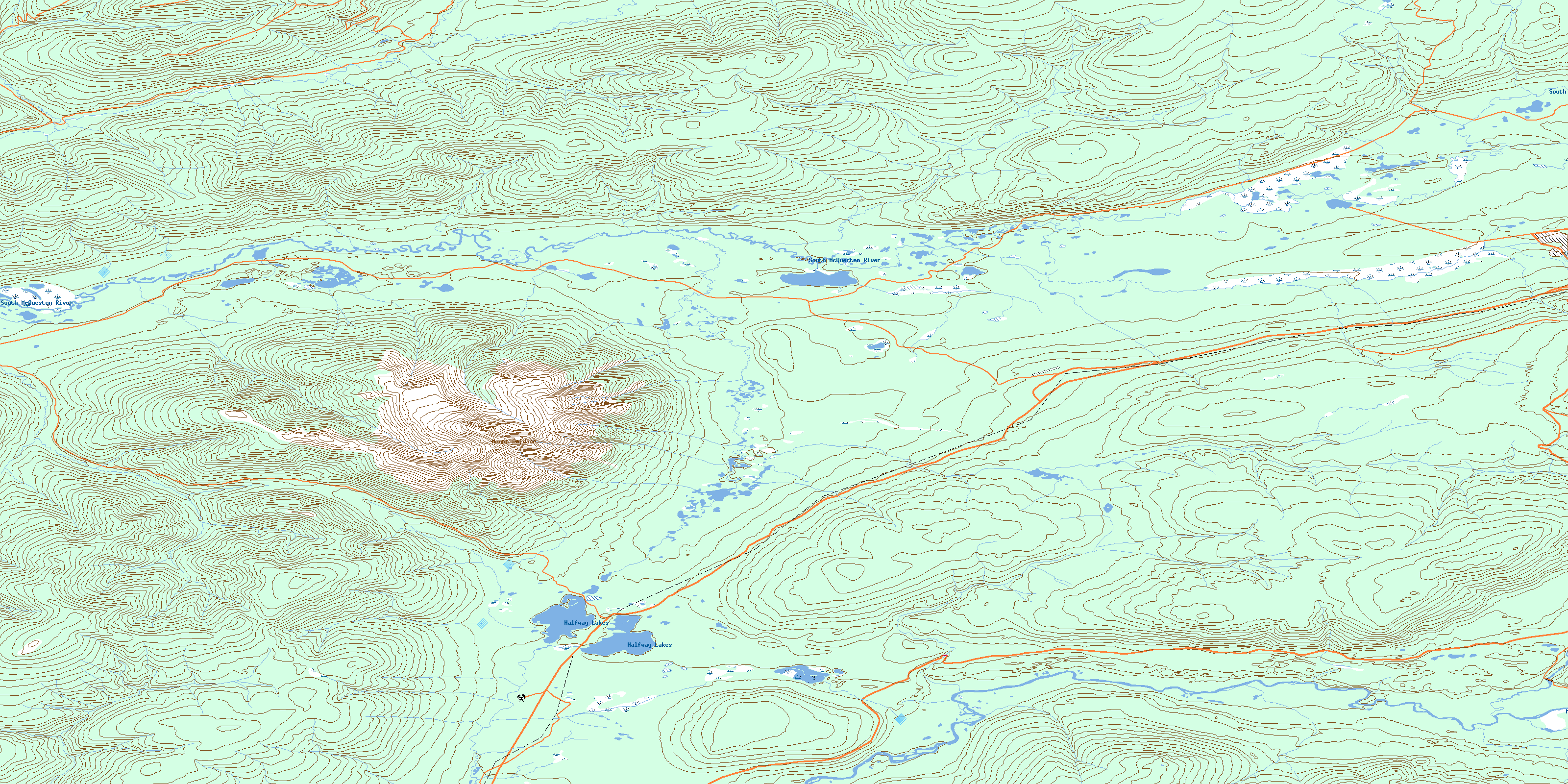
© Department of Natural Resources Canada. All rights reserved.
105M Related Maps:
105M Mayo105M01 Moose Lake
105M02 Clarke Hills
105M03 Sideslip Lake
105M04 Woodburn Lake
105M05 Francis Lake
105M06 Nogold Creek
105M07 Highland Lake
105M08 Canoe Creek
105M09 Edwards Lake
105M10 South Nelson Creek
105M11 Williamson Lake
105M12 Mayo
105M13 Mount Haldane
105M14 Keno Hill
105M15 Mayo Lake
105M16 Tiny Island Lake
