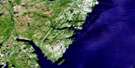
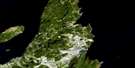
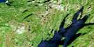
Pouch Cove Satellite Image Map
Download Free Aerial Photo 001N15 at 1:50,000 scale
Pouch Cove Satellite Imagery
To view this satellite map, mouse over the air photo on the right.
You can also download this satellite image map for free:
001N15 Pouch Cove high-resolution satellite image map.
Maps for the Pouch Cove aerial map sheet 001N15 at 1:50,000 scale are also available in these versions:
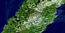
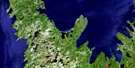
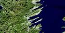
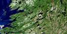
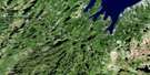
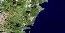
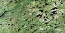
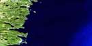
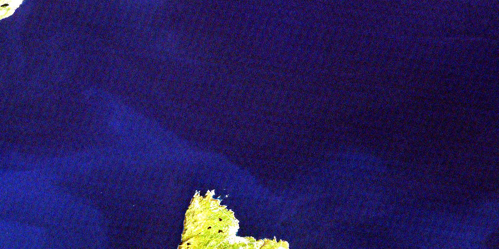
Pouch Cove Surrounding Area Aerial Photo Maps
 |
 |
 |
|
 |
 |
 |
|
 |
 |
 |
|
 |
 |
 |
© Department of Natural Resources Canada. All rights reserved.
Pouch Cove Gazetteer
The following places can be found on satellite image map 001N15 Pouch Cove:
Pouch Cove Satellite Image: Bays
Back CoveBears Hole
Big Cove North
Biscayan Cove
Biscayne Bay
Black Head Cove
Champion Gulch
Chimney Gulch
Conception Bay
Cripple Cove
Cripple Cove
Fiddlers Hole
Goats Gulch
Herring Gulch
Hollow Cove
Horrid Gulch
Jacobs Cove
Lion Gulch
Longer Gulch
Morgans Gulch
Mouse Hole
Mouse Holes
Mys Gulch
Otter Gulch
Otters Gulch
Pigeons Gulch
Polly Butts Gulch
Pouch Cove
Sandy Cove
Shoe Cove
Shoe Cove Point
Square Gulch
The Pond
Pouch Cove Satellite Image: Capes
Anvil HeadAvalon Peninsula
Bar Point
Big Bald Head
Black Head North
Blue Madam
Bluff Head
Braggs Head
Braggs Point
Butt of Bald Head
Calves Point
Cape St. Francis
Georges Point
Gruchy Point
Jacks Point
Lewis Point
Little Bald Head
Long Point
Motor Karn
Moultons Point
Nicks Point
Schoolhouse Point
Sheppards Head
Strawberry Point
White Horse Point
White Point
White Point
Pouch Cove Satellite Image: Channels
ThroughfarePouch Cove Satellite Image: Cliffs
The ScrapePouch Cove Satellite Image: Islands
Biscayan IslandsCove Island
Pigeon Island
Shoe Cove Island
The Brandies
Pouch Cove Satellite Image: Lakes
Biscayan Cove GullyIsland Cove Pond
Long Pond
Old Pond
Pouch Cove Northeast Pond
Pouch Cove Northwest Pond
Robinson Gully
Trout Gully
Trout Pond
Pouch Cove Satellite Image: Mountains
Black HeadPouch Cove Satellite Image: Conservation areas
Marine Drive Provincial ParkPouch Cove Satellite Image: Rivers
Freshwater BrookNortheast Brook
Patch Brook
Pouch Cove Brook
Robinsons River
Shoe Cove Brook
Pouch Cove Satellite Image: Shoals
Anvil RocksCliff Rock
Cripple Cove Rock
Cripple Cove Rocks
Freshwater
Gull Rock
Mad Mall
Pigeon Island Rock
Pouch Cove Satellite Image: Towns
Pouch CovePouch Cove Satellite Image: Unincorporated areas
Biscayan CoveLower Island Cove
Pouch Cove
© Department of Natural Resources Canada. All rights reserved.
