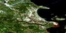
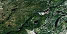
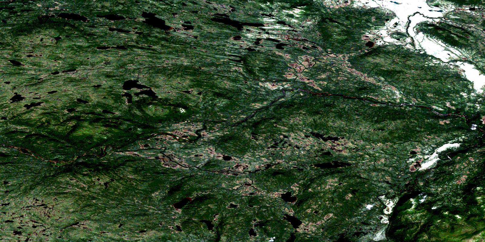
North River Satellite Image Map
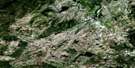
Download Free Aerial Photo 013H13 at 1:50,000 scale
North River Satellite Imagery
To view this satellite map, mouse over the air photo on the right.
You can also download this satellite image map for free:
013H13 North River high-resolution satellite image map.
Maps for the North River aerial map sheet 013H13 at 1:50,000 scale are also available in these versions:
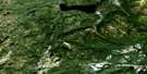
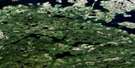
North River Surrounding Area Aerial Photo Maps
 |
 |
 |
 |
 |
 |
 |
 |
 |
 |
 |
 |
 |
 |
 |
 |
© Department of Natural Resources Canada. All rights reserved.
North River Gazetteer
The following places can be found on satellite image map 013H13 North River:
North River Satellite Image: Lakes
Ayre River PondBarren Ponds
Barron Lake
Big Pond
Doody Lake
Double Pond
Island Pond
Janes Lake
Long Pond
Mullally Lake
Murphys Steady
Rose Lake
Round Pond
Steele Creek Ponds
Sullivan Lake
North River Satellite Image: Mountains
The MountainNorth River Satellite Image: Rivers
Ayre RiverBackway River
Barron River
Doody Creek
Herder River
Janes Creek
Main Brook
Main River
Murphy River
North River
River Sticks
Roper River
Round Pond Brook
Steele Creek
© Department of Natural Resources Canada. All rights reserved.
013H Related Maps:
013H Cartwright013H01 No Title
013H02 No Title
013H03 No Title
013H04 No Title
013H05 No Title
013H06 Paradise River
013H07 No Title
013H08 Porcupine Bay
013H09E Sand Hill Cove
013H09W Sand Hill Cove
013H10 Hare Harbour
013H11 Cartwright
013H12 Barron Lake
013H13E North River
013H13W North River
013H14E Trunmore Bay
013H14W Trunmore Bay
013H15E Packs Harbour
013H15W Packs Harbour
013H16W Grady Harbour
