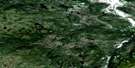
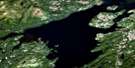
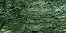
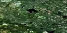
Packs Harbour Satellite Image Map
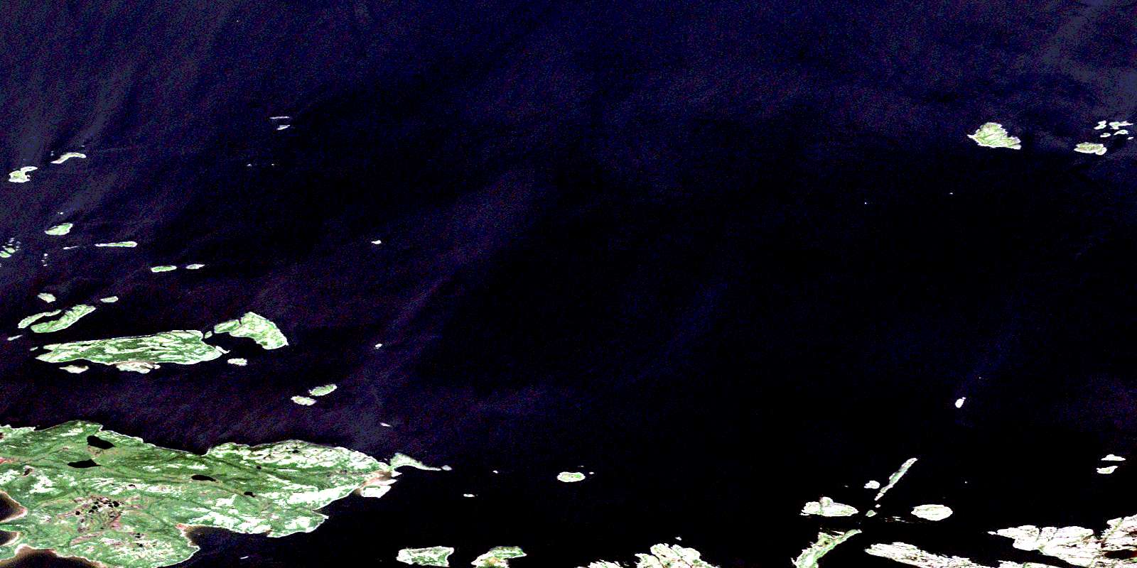
Download Free Aerial Photo 013H15 at 1:50,000 scale
Packs Harbour Satellite Imagery
To view this satellite map, mouse over the air photo on the right.
You can also download this satellite image map for free:
013H15 Packs Harbour high-resolution satellite image map.
Maps for the Packs Harbour aerial map sheet 013H15 at 1:50,000 scale are also available in these versions:
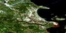
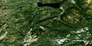
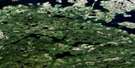
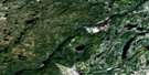
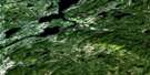
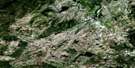
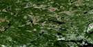
Packs Harbour Surrounding Area Aerial Photo Maps
 |
 |
 |
 |
 |
 |
 |
 |
 |
 |
 |
 |
 |
 |
 |
 |
© Department of Natural Resources Canada. All rights reserved.
Packs Harbour Gazetteer
The following places can be found on satellite image map 013H15 Packs Harbour:
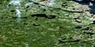
Packs Harbour Satellite Image: Bays
Adams CoveAmerican Cove
Back Cove
Back Cove
Baird Cove
Big Cove
Big Indian Harbour
Cape North Cove
Curlew Harbour
Dawsons Cove
Dumpling Harbour
Egg Harbour
Fox Cove
Godfreys Cove
Goose Cove
Herring Gulch
Huntingdon Harbour
Independent Harbour
Indian Harbour
Isthmus Bay
Kettle Cove
Little Harbour
Marks Cove
Meshers Cove
Muddy Cove
North Snack Cove
Old Mans Cove
Packs Harbour
Paddys Cove
Pigeon Cove
Ranger Cove
Shell Cove
Shell Musks Harbour
Shoal Cove
Snack Cove
Snack Cove
Snatch Cove
South Snack Cove
Southeast Cove
Stumpy Leg Cove
Turks Gut
Packs Harbour Satellite Image: Beaches
The Goat ShorePacks Harbour Satellite Image: Capes
Adams Cove PointAmerican Cove Point
Big Point
Cape Horn
Curlew Head
Dicksons Point
Egg Harbour Point
Fox Cove Head
Kettle Cove Head
Lighthouse Point
Long Point
Luff Point
Marks Point
Middle Point
Pigeon Cove Point
Red Rock Point
Salmon Point
Shell Musks Point
Stumpy Leg Point
Suzie Rowe
Toomie Point
Venison Head
Packs Harbour Satellite Image: Channels
Bales TickleDog Islands Tickle
Hare Islands Tickle
NFLD Tickle
Shoal Cove Tickle
Shoal Tickle
Packs Harbour Satellite Image: Islands
Bales IslandBig Packs Harbour Island
Cape Horn Island
Cartwright Island
Churchills Island
Curlew Island
Darkeys Island
Dog Islands
Double Islands
Duck Island
Dumpling Island
East Hare Island
Egg Island
Farrels Island
Flat Island
Flat Island
Flat Island
Flat Rock Island
Gannet Islands
Graplin Island
Grappling Island
Green Island
Green Island
Greenlands Island
Hamilton Island
Handy Harbour Islands
Hare Islands
Haypook Island
Huntingdon Island
Independent Island
Little Packs Harbour Island
Long Island
Long Island
Man of Rock Island
Man of War Island
Meany Island
Newfoundland Island
Piccos Island
Pickens Island
Pig Island
Pigeon Cove Island
Pigeon Island
Pigeon Island
Pinchgut Island
Pompey Island
Pompey Islands
Red Island
Round Island
Seal Island
Shag Island
Shoal Cove Island
Shoal Island
South Pompey Island
Sparrowbill Island
The Raft
The Sisters
Tinker Island
Tinker Island
West Hare Island
Packs Harbour Satellite Image: Lakes
Emilines PondKettle Cove Pond
Packs Harbour Satellite Image: Mountains
East RidgeLight House (Hill)
Shoal Point Hill
Packs Harbour Satellite Image: Conservation areas
Gannet Islands Ecological ReserveGannet Islands Seabird Ecological Reserve
Gannet Islands Seabird Sanctuary
Packs Harbour Satellite Image: Rivers
Burned Island BrookBurnt Island Brook
Egg Harbour Brook
Indian Harbour Brook
Tailors Brook
Trout Brook
Packs Harbour Satellite Image: Shoals
Bail RockBird Rocks
Black Rock
Black Rock
Black Rocks
Budget Bank
Budget Rock
Cark Rocks
Carls Rock
Cork Rocks
Creek Rock
Flemming Rock
Gimblet Shoal
Greek Rock
Harbour Rock
Hare Rock
Lindsay Rock
Long Rock
Macfarlane
Mid Channel Rock
Munday Bank
Pinchgut Bank
Pompey Rock
Pudding Bank
Ragged Rocks
Salmon Rock
Seal Rock
Seal Rocks
Shermans Rock
Shoal Cove Rocks
Stip Rock
The Cobbler
The Washer
Tinker Rock
West Gannet Rock
Whalesback
Yellow Rock
Packs Harbour Satellite Image: Unincorporated areas
Dumpling HarbourIndependent
Indian Harbour
Island Harbour
Packs Harbour
Snack Cove
© Department of Natural Resources Canada. All rights reserved.
013H Related Maps:
013H Cartwright013H01 No Title
013H02 No Title
013H03 No Title
013H04 No Title
013H05 No Title
013H06 Paradise River
013H07 No Title
013H08 Porcupine Bay
013H09E Sand Hill Cove
013H09W Sand Hill Cove
013H10 Hare Harbour
013H11 Cartwright
013H12 Barron Lake
013H13E North River
013H13W North River
013H14E Trunmore Bay
013H14W Trunmore Bay
013H15E Packs Harbour
013H15W Packs Harbour
013H16W Grady Harbour
