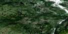
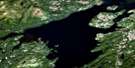
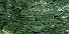
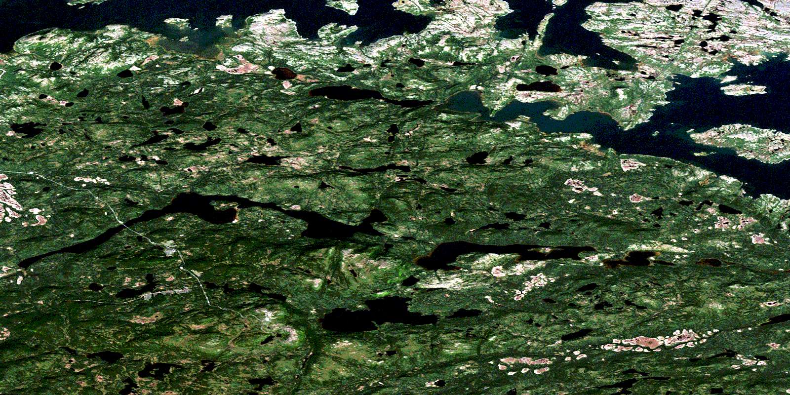
Hare Harbour Satellite Image Map
Download Free Aerial Photo 013H10 at 1:50,000 scale
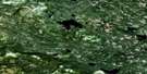
Hare Harbour Satellite Imagery
To view this satellite map, mouse over the air photo on the right.
You can also download this satellite image map for free:
013H10 Hare Harbour high-resolution satellite image map.
Maps for the Hare Harbour aerial map sheet 013H10 at 1:50,000 scale are also available in these versions:
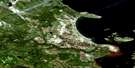
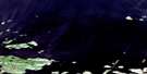
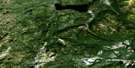
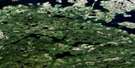
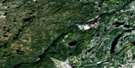
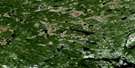
Hare Harbour Surrounding Area Aerial Photo Maps
 |
 |
 |
 |
 |
 |
 |
 |
 |
 |
 |
 |
 |
 |
 |
 |
© Department of Natural Resources Canada. All rights reserved.
Hare Harbour Gazetteer
The following places can be found on satellite image map 013H10 Hare Harbour:
Hare Harbour Satellite Image: Bays
Backguard BayBig Bight
Big Bight
Big Cove
Big Paddys Cove
Black Duck Cove
Blackguard Bay
Burn Point Cove
Cellar Point Cove
Crab Harbour
Goose Cove
Hare Harbour
Indian Cove
Isthmus Bay
Lamverts Path End
Larks Harbour
Little Paddys Cove
Little Seal Cove
Lower Haunted Bight
Luddies Cove
Luggs Cove
Marias Cove
North Harbour
Perrys Cove
Pigeon Cove
Sams Cove
Skate Back Pond
Skiff Cove
South Road
Southeast Cove
Stag Cove
Star Bight
Suttons Cove
Table Bay
Tiky Tie Hook
Venison Cove
Hare Harbour Satellite Image: Capes
Birchy PointBlack Head
Burn Point
Cat Head
Cellar Point
Crab Head
Fox Point
Grog Point
Hackets Head
Hanrahan Point
Indian Head
Little Crab Head
Lower Crab Head
Luggs Cove Point
Lugs Point
Marias Point
Nakookies Head
Penniuks Point
Penuks Point
Pigeon Head
Sams Point
Stag Point
Suglo Point
Suttons Point
Toomashies Lead
Toomashies Point
Upper Crab Head
Venison Head
Hare Harbour Satellite Image: Channels
Bull GutHare Harbour Satellite Image: Cliffs
Black CliffsLittle Black Cliffs
Hare Harbour Satellite Image: Islands
Black Cliffs IslandCartwright Island
Crab Island
Deadmans Island
Duck Island
East Hare Island
Fillbelly Island
Grassy Island
Hare Islands
Huntingdon Island
Ledge Island
Little Duck Island
Little Ledge Island
Little Star Island
Star Island
Willow Beds
Woody Island
Hare Harbour Satellite Image: Lakes
Big Beaver PondBirchy Hill Pond
Burdettes Brook Second Pond
Country Cat Pond
Crooked Pond
Freshwater Pond
Fridays Pond
Goose Cove Pond
Goose Pond
Grassy Rubbin Pond
Jackies Pond
John Davis Pond
John Davis Steady
Larks Harbour Pond
Little Beaver Pond
Little Pond
Morris Pond
Muddy Bay Pond
Muskrat Pond
Round Pond
Table Bay Pond
White Hills Pond
Hare Harbour Satellite Image: Mountains
Andrew HillBig Hill
Birchy Hill
Black Head
Little Hill
Scout Hill
Stag Hill
Stag Hill
Sundown Hill
Table Hill
The Big Hill
White Hills
Hare Harbour Satellite Image: Rapids
Big RattleHare Harbour Satellite Image: Rivers
Birdets BrookBurdettes Brook
Cellar Point Brook
Country Cat Brook
Doodlin Brook
Dykes River
Fridays Brook
Goose Cove Brook
Jackies Brook
Larks Harbour Brook
Luddies Brook
Muddy Bay Brook
Otter Brook
Round Pond Brook
Scout Brook
Stag Brook
Table Bay Brook
White Hills Brook
White Hills Brook
Hare Harbour Satellite Image: Seas
Labrador SeaMer du Labrador
Hare Harbour Satellite Image: Shoals
Flat RocksMad Moll
Whale Rock
Hare Harbour Satellite Image: Unincorporated areas
Hare HarbourTable Bay
Hare Harbour Satellite Image: Valleys
Cellar DrokeMurderin Gulch
Hare Harbour Satellite Image: Low vegetation
Goose Cove MarshesInside Marsh
Outside Marsh
Scout Brook Marshes
© Department of Natural Resources Canada. All rights reserved.
013H Related Maps:
013H Cartwright013H01 No Title
013H02 No Title
013H03 No Title
013H04 No Title
013H05 No Title
013H06 Paradise River
013H07 No Title
013H08 Porcupine Bay
013H09E Sand Hill Cove
013H09W Sand Hill Cove
013H10 Hare Harbour
013H11 Cartwright
013H12 Barron Lake
013H13E North River
013H13W North River
013H14E Trunmore Bay
013H14W Trunmore Bay
013H15E Packs Harbour
013H15W Packs Harbour
013H16W Grady Harbour
