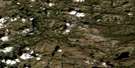
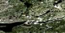
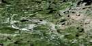
Kaipokok River Satellite Image Map
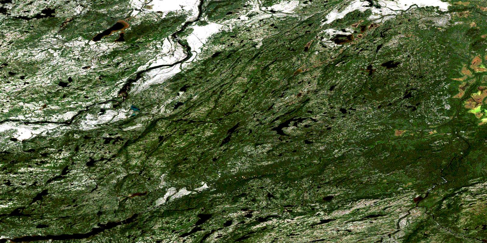
Download Free Aerial Photo 013K10 at 1:50,000 scale
Kaipokok River Satellite Imagery
To view this satellite map, mouse over the air photo on the right.
You can also download this satellite image map for free:
013K10 Kaipokok River high-resolution satellite image map.
Maps for the Kaipokok River aerial map sheet 013K10 at 1:50,000 scale are also available in these versions:
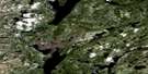
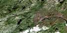
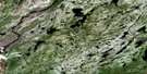
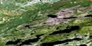
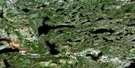
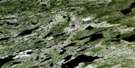
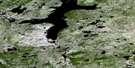
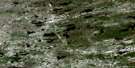
Kaipokok River Surrounding Area Aerial Photo Maps
 |
 |
 |
 |
 |
 |
 |
 |
 |
 |
 |
 |
 |
 |
 |
 |
© Department of Natural Resources Canada. All rights reserved.
Kaipokok River Gazetteer
The following places can be found on satellite image map 013K10 Kaipokok River:
Kaipokok River Satellite Image: Lakes
Warrens LakeKaipokok River Satellite Image: Rivers
Browns BrookKaipokok River
Kaipokok River
Kanairiktok River
Micmac Brook
North Branch
South Branch
© Department of Natural Resources Canada. All rights reserved.
013K Related Maps:
013K Snegamook Lake013K01E Mulligan River
013K01W Mulligan River
013K02 Nipishish Lake
013K03 Santa Claus Mountain
013K04 Dorothy Lake
013K05 Wuchusk Lake
013K06 Pocket Knife Lake
013K07 No Title
013K08E No Title
013K08W No Title
013K09E West Micmac Lake
013K09W West Micmac Lake
013K10 Kaipokok River
013K11 Snegamook Lake
013K12 No Title
013K13 No Title
013K14 Mistinippi Lake
013K15 No Title
013K16E No Title
013K16W No Title
