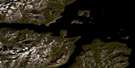
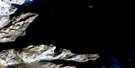
Nachvak Fiord Satellite Image Map
Download Free Aerial Photo 014M04 at 1:50,000 scale
Nachvak Fiord Satellite Imagery
To view this satellite map, mouse over the air photo on the right.
You can also download this satellite image map for free:
014M04 Nachvak Fiord high-resolution satellite image map.
Maps for the Nachvak Fiord aerial map sheet 014M04 at 1:50,000 scale are also available in these versions:
Nachvak Fiord Surrounding Area Aerial Photo Maps
 |
|||
 |
 |
||
 |
 |
© Department of Natural Resources Canada. All rights reserved.
Nachvak Fiord Gazetteer
The following places can be found on satellite image map 014M04 Nachvak Fiord:
Nachvak Fiord Satellite Image: Bays
Ivitak CoveKitsemarvik Cove
KomaktorvikFiord
Nachvak Fiord
Schooner Cove
Tallek Arm
Tasiuyak Arm
Tinutyarvik Cove
Trout Trap Fiord
Nachvak Fiord Satellite Image: Capes
Townley HeadNachvak Fiord Satellite Image: Falls
The Tall BrideNachvak Fiord Satellite Image: Mountains
Fall MountainIdyutak Mountain
Kitsemarviub Mountain
Kutyaupak Mountain
Kutyautak Mountain
Mount Eliot
Mount Elizabeth
Mount Faunce
Mount Ford
Mount Gerfalcon
Mount Kaputyat
Torngat Mountains
Torugak Mountains
Nachvak Fiord Satellite Image: Rivers
Ivitab Konga RiverKogarsok Brook
Komaktorvik River
McCormick River
McCornick River
Sennerkitte Brook
Nachvak Fiord Satellite Image: Valleys
Torngat Lair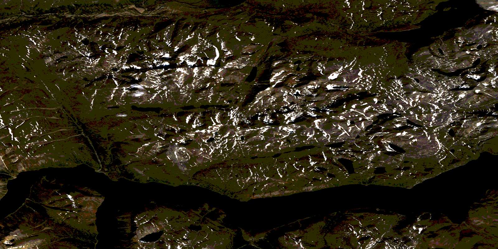
© Department of Natural Resources Canada. All rights reserved.
